
Summit Street in Marshall, Minnesota
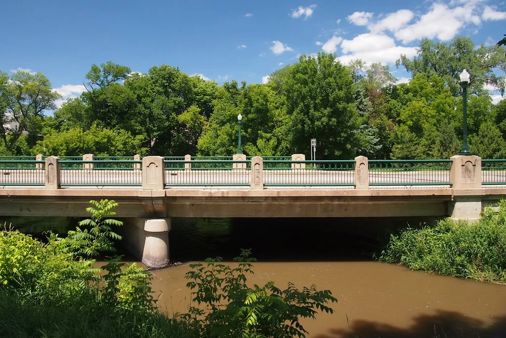
Summit Street in Marshall is a residential street. It runs in an east-west direction and ends at North High Street, while the other end is a cul-de-sac. Summit Street also exists in Lincoln County, Kandiyohi County, Otter Tail County, Renville County and Anoka County.
- Road Type
- residential street
- Speed Limit
- 30 mph
- Route
- east-west
Image
Clothing stores
Copy shops
Craft stores
Ice cream shops
Artworks
Fast food restaurants
Auto parts stores
Beauty salons
Rental services
Department stores
Variety stores
Hair salons
Movie theaters
Cafes
Furniture stores
Restaurants
Hardware stores
Streets nearby
North Whitney Street0.1 mi
Walnut StreetMrs. Whitney Statue
0.1 mi
North Hill Street0.1 mi
Poplar Street0.2 mi
South Hill Street0.2 mi
South High Street0.2 mi
East Marshall Street0.2 mi
Park Avenue0.2 mi
East College DriveGreat Clips, Papa Murphy's, Caribou Coffee, Family Dollar, Dollar Tree, Marshall
0.2 mi
West Marshall Street0.2 mi
South Minnesota Street0.3 mi
Charles Avenue0.3 mi
Church Street0.3 mi
North 3rd Street0.3 mi
West Redwood Street0.3 mi
Walker Lane0.3 mi
North A Street0.4 mi
West Lyon StreetMarshall 6 Theatre
0.4 mi
Jean Avenue0.4 mi
Central Avenue0.4 mi
South Whitney Street0.4 mi
East Redwood Street0.4 mi
East Main Street0.5 mi
North 1st Street0.5 mi
South 1st Street0.5 mi
B Street0.5 mi
Apartment buildings nearby
Parkview Apartments0.3 mi
Banks nearby
Bremer Bank0.3 mi
Bars nearby
Varsity Pub & Extra Innings0.4 mi
Buildings nearby
Hoffman & Brobst Certified Public Accountants0.2 mi
Starpoint Communications, Inc.0.3 mi
Pizza Hut0.4 mi
3rd Street Mall0.4 mi
Convenience stores nearby
Freedom Valu Center0.3 mi
Dentist's offices nearby
Dental Health Center0.4 mi
Gas stations nearby
BP0.3 mi
Museums nearby
Lyon County Museum0.4 mi
Parks nearby
Liberty Park0.2 mi
Places of worship nearby
Christ Evangelical Lutheran Church0.3 mi
First Lutheran Church0.3 mi
Marshall Church of Christ0.5 mi
Post offices nearby
United States Post Office0.4 mi
Rivers nearby
Redwood River0.5 mi
School buildings nearby
Eastside Campus250 ft
Social facilities nearby
Avera Morningside Heights Care Center0.3 mi
Hill Street Place Congregate Housing0.3 mi
Sports fields nearby
GLC Ball Diamond450 ft
Tobacco shops nearby
Marshall Tobacco Smoke Shop0.4 mi
Variety stores nearby
Dollar General0.2 mi
 Public transit map Marshall Legend
| Railway | |
| Bus | |
| Streetcar |
 Bicycle map Marshall Legend
| Bike path | |
| Bike lane on roadway | |
| Cycling allowed on bus lane | |
| Bicycle street | |
| Open to cyclists | |
| Open to cyclists, good path | |
| Cycling prohibited | |
| Cobblestone |
| Long-distance bike route | (depending on scale) | |
| Long-distance bike route |
 Pedestrian map Marshall Legend
| Path |
| Long-distance hiking trail | (depending on scale) | |
| Long-distance hiking trail | ||
| Pedestrians prohibited |