
Poplar Street South in Northfield, Minnesota
Poplar Street South in Northfield is a two-lane, asphalted residential street. The street has partly sidewalks. It runs in a north-south direction starting from 2nd Street West and crosses 3rd Street West and 4th Street West. It ends in a cul-de-sac.
- Road Type
- residential street
- Bicycle
- yes
- Lanes
- 2
- Route
- north-south
Image
Restaurants
Bakeries
Vending machines
Community centers
Clothing stores
Tailor shops
Artworks
Bars
Secondhand stores
Hair salons
Farm stores
Fountains
Hotels
Florists
Streets nearby
4th Street West50 ft
Linden Street South450 ft
Private RoadBread People
500 ft
Laurel CourtRedbox
0.1 mi
Dahomey Avenue / Hiawatha Pioneer TrailGrism's Sweet Corn, Premier Bank Northfield, Wanbli Mitakuye Oyasin (Eagle Relatives), Flame, Holiday Stationstore, U.S. Bank
0.1 mi
5th Street WestLuis Enrique Salon, The Secret Attic, Forget-Me-Not, Farmstead Bike Shop, Raven's Nest Cafe, Loon Liquors & Pizzeria, Tin Tea, Railroad Crossing
0.1 mi
Plum Street South0.2 mi
Jean Campbell Brooks Memorial PathLove Windmill
0.2 mi
Spring Street South0.2 mi
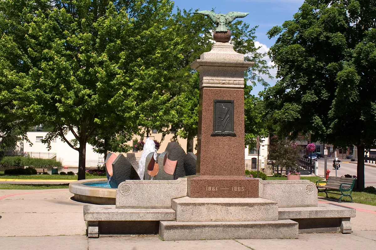
3rd Street WestSalon Synergy, Han's Kitchen, Bollard Fountain, Tree, Wind Piece
0.2 mi
Orchard Street South0.2 mi
1st Street West0.2 mi
Linden Street NorthLittle Free Pantry
0.3 mi
Dahomey Avenue0.3 mi
Spring Street NorthSouth Oak Apartments, Northfield Ward 3 Precinct 1 Polling
0.3 mi
Plum Street North0.3 mi
Abandoned railways nearby
Chicago Great Western0.1 mi
Auto repair shops nearby
Max Shine Auto Detailing0.2 mi
Buildings nearby
Servicios Latinos Mena's400 ft
Old Freight House0.1 mi
Masonic Center Social Lodge 480.2 mi
Malt-O-Meal0.2 mi
Ames Mill0.2 mi
Farmers Insurance0.2 mi
SMSQ Architects0.3 mi
Xcel Energy0.3 mi
St. Dominic's School0.4 mi
Cafes nearby
Caribou Coffee450 ft
Cell phone stores nearby
Verizon500 ft
Community centers nearby
Northfield Depot0.2 mi
St. Dominic's Youth Center0.3 mi
Convenience stores nearby
Kwik Trip0.1 mi
Fast food restaurants nearby
Subway0.1 mi
Taco Bell0.1 mi
Fire stations nearby
Northfield Area Fire & Rescue0.2 mi
Hotels nearby
Country Inn & Suites0.1 mi
Kindergartens nearby
Anna's Bananas350 ft
Parks nearby
Ames Park0.2 mi
Cherry Park0.4 mi
Pharmacies nearby
Walgreens0.2 mi
Places of worship nearby
St John's Lutheran (ELCA)550 ft
St Dominic's Catholic0.3 mi
Railways nearby
Albert Lea Subdivision350 ft
UP Albert Lea Subdivision550 ft
Chicago & Northwestern RR0.3 mi
Restaurants nearby
Quarterback Club0.2 mi
El Triunfo Market & Restaurant0.2 mi
Tanzenwald Brewery0.3 mi
Theaters nearby
Northfield Arts Guild0.1 mi
Public transit map Northfield Legend
| Railway | |
| Bus | |
| Streetcar |
Bicycle map Northfield Legend
| Bike path | |
| Bike lane on roadway | |
| Cycling allowed on bus lane | |
| Bicycle street | |
| Open to cyclists | |
| Open to cyclists, good path | |
| Cycling prohibited | |
| Cobblestone |
| Long-distance bike route | (depending on scale) | |
| Long-distance bike route |
Pedestrian map Northfield Legend
| Path |
| Long-distance hiking trail | (depending on scale) | |
| Long-distance hiking trail | ||
| Pedestrians prohibited |