
Balsam Avenue Southwest in St. Michael, Minnesota
Balsam Avenue Southwest in Saint Michael is a residential street. It runs in an east-west direction starting from 1st Street Southwest. Balsam Avenue Southwest also exists in Wadena County.
- Road Type
- residential street
- Route
- east-west
Image
Pharmacies
Jewelry stores
Recycling stations
Streets nearby
1st Street Southwest150 ft
Saint Michael Parkway West350 ft
Central Avenue EastSpeedway
0.1 mi
1st Street Southeast0.2 mi
Chestnut Avenue Southeast0.2 mi
Maple Lane Southwest0.2 mi
1st Street Northeast0.3 mi
38th Circle Northeast0.3 mi
Balsam Avenue East0.3 mi
Saint Michael Parkway EastWalgreens
0.3 mi
Birch Avenue Northwest0.3 mi
Hillcrest Drive Southeast0.3 mi
2nd Street Northeast0.3 mi
Creekside Bay Southeast0.3 mi
2nd Street Southeast0.3 mi
Birch Avenue Northeast0.3 mi
Main Street NorthSaint Michael
0.3 mi
Ash Avenue Northeast0.4 mi
Frankfort Parkway Northeast0.4 mi
Creekside Court Southeast0.4 mi
4th Street Southeast0.4 mi
Lincoln Drive Northeast0.4 mi
Cottonwood Avenue Northeast0.4 mi
Laura Lane Southeast0.4 mi
3rd Street Northeast0.5 mi
Overlook Circle Southeast0.5 mi
Summit Drive Northeast0.5 mi
Auto parts stores nearby
O'Reilly Auto Parts0.4 mi
NAPA Auto Parts0.5 mi
Bars nearby
Ditto's Bar500 ft
Cemeteries nearby
St. Michael Cemetery0.2 mi
Churches nearby
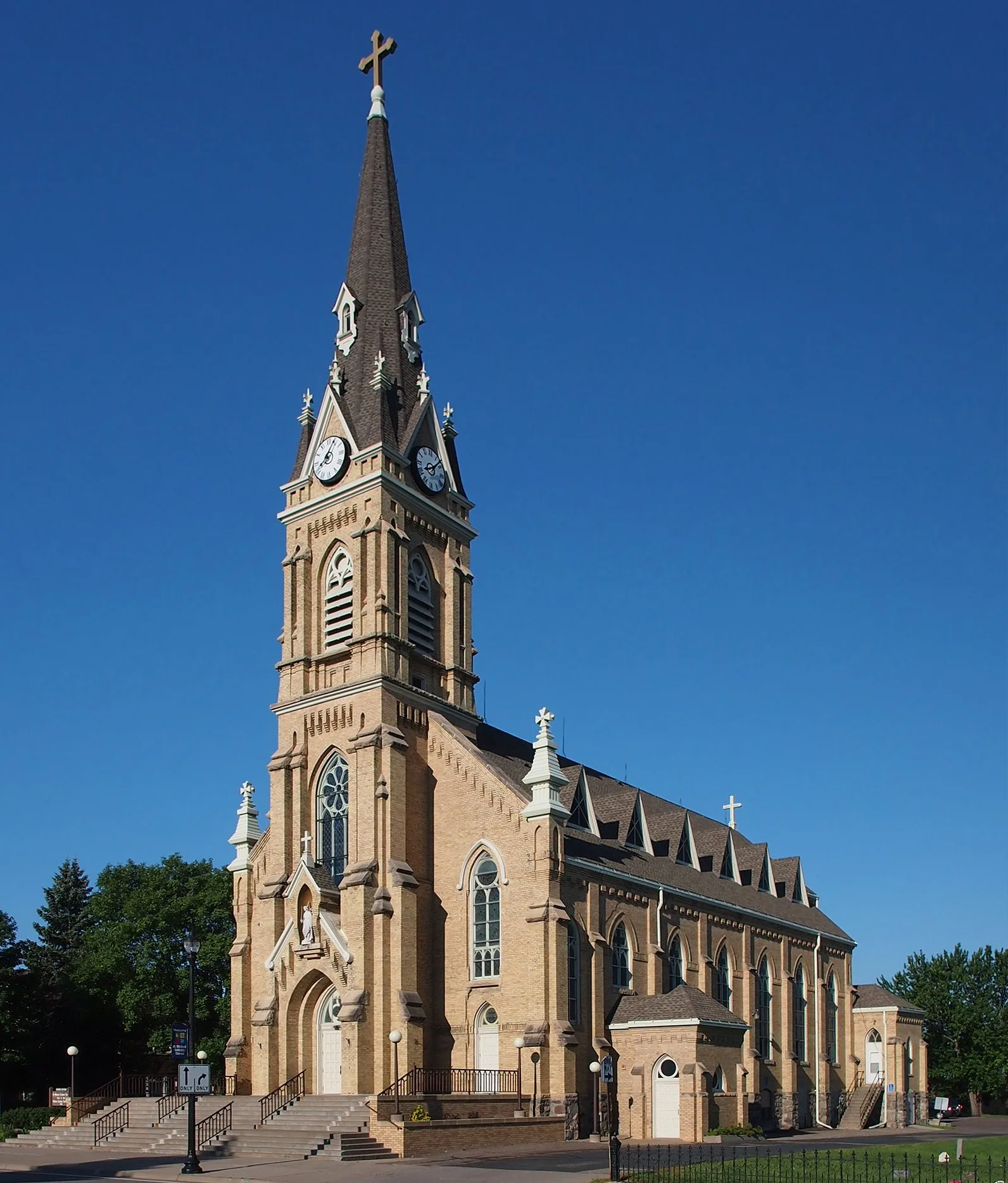
Church of St. Michael, Historic Catholic Church0.2 mi
Coffee shops nearby
Dunn Brothers0.3 mi
Commercial buildings nearby
Centurylink0.3 mi
Drugstores nearby
Walgreens0.1 mi
Fast food restaurants nearby
Domino's0.2 mi
DQ Grill & Chill0.4 mi
Fire stations nearby
STMA Fire Department0.3 mi
Hair salons nearby
Tangles Salon0.2 mi
Central Hair Design0.5 mi
Hardware stores nearby
Hardware Hank0.5 mi
Playgrounds nearby
St. Michael Elementary School Playground0.1 mi
Restaurants nearby
Main Street Farmer550 ft
HomeGrown0.2 mi
Liberty Restaurant and Bar0.2 mi
School buildings nearby
St. Michael Elementary School550 ft
St. Michael-Albertville Early Education0.1 mi
St. Michael Catholic School0.2 mi
Waters nearby
Cascades Pond II0.3 mi
 Public transit map Saint Michael Legend
| Railway | |
| Bus | |
| Streetcar |
 Bicycle map Saint Michael Legend
| Bike path | |
| Bike lane on roadway | |
| Cycling allowed on bus lane | |
| Bicycle street | |
| Open to cyclists | |
| Open to cyclists, good path | |
| Cycling prohibited | |
| Cobblestone |
| Long-distance bike route | (depending on scale) | |
| Long-distance bike route |
 Pedestrian map Saint Michael Legend
| Path |
| Long-distance hiking trail | (depending on scale) | |
| Long-distance hiking trail | ||
| Pedestrians prohibited |