
Tyler Avenue in Oxford, Mississippi
Tyler Avenue in Oxford is a single-lane residential street. It runs in an east-west direction and crosses South 5th Street, South 9th Street, South 10th Street, South 11th Street and South Lamar Boulevard and ends at South 14th Street, while the other end is a cul-de-sac. Nearby you can find 3 restaurants and a place of worship. Tyler Avenue also exists in Jackson County and Walthall County.
- Road Type
- residential street
- Lanes
- 1
- Speed Limit
- 20 mph
- Route
- east-west
Image
Places of worship
Streets nearby
South Lamar BoulevardDovetail Home, Safari Wines & Spirits, Cicada Boutique, Olive Juice Gifts, Insomnia COokies, Square Books, Village Tailor, Magnolia Wine & Spirits, Amara Salon, U-Haul, Oxford Family Pharmacy, Bickert's Orthotics and Prosthetics, Dr. Robert M. Abraham, DDS, Super Kuts, Roundabouts, Booth's Barbeque, University Baptist Church, Paragon Bank
200 ft
Harrison AvenueAmy Head Cosmetics, Landry's, Cat Daddy's, Stella at Oxford, Harrison's 1810
250 ft
University AvenueOxford-University United Methodist Church, Walgreens, Washboard Coin Laundry, Pitner Office Supply, Oxford Climate Safe Storage, Oxford Bridal, Trophy Shop, Luxe, Origin Bank, Headquarters, Dunkin', Nightbird, Subway, China Royal
400 ft
Van Buren AvenueOff Square Books, The Frame Up-Basement Gallery, A C's Bed & Bath Co, Tallahatchie Gourmet, First Baptist Church, Bottletree Bakery, Southside Gallery, Old Venice Pizza, McEwen's, Hemline, South Depot Taco Shop, CVM Salon, Belles & Beaus, The Library, Square Pizza, My Favorite Shoes, CVM, Bar Muse, City Grocery
0.1 mi
South 13th StreetH2O Oxford Oriental Cafe
0.1 mi
Courthouse SquareOxford, Quack's, Ajax Diner, Van Atkins Jewelers, Round Table, Katherine Beck, Lily Pad, Pink & Proper, Trustmark, Hinton & Hinton, Neilson's, Square Books Jr, Regions Bank
0.1 mi
South 14th StreetSneed's Ace Hardware
0.1 mi
Taylor AvenueCreme De La Creme
0.1 mi
Fillmore Avenue0.2 mi
Monroe Avenue0.2 mi
North 14th StreetMercedes Specialist of Oxford
0.2 mi
South 15th Street0.2 mi
Argyle Lane0.2 mi
Tyler Cove0.3 mi
Pierce Avenue0.3 mi
South 16th StreetNail Thology
0.3 mi
Buchanan AvenueThe Dell
0.3 mi
Johnson Avenue0.4 mi
Grant Circle0.4 mi
Oxford Place0.4 mi
Apartment buildings nearby
Solo Apartments0.2 mi
Arts centers nearby
Yoknapatawpha Arts Council0.1 mi
Auto repair shops nearby
Goodyear University Tire & Auto0.2 mi
Banks nearby
BancorpSouth0.1 mi
FNB Oxford0.1 mi
Oxford University Bank0.3 mi
Mechanics Bank0.3 mi
Bars nearby
The Velvet Ditch-Sports Bar & Seafood350 ft
Beauty salons nearby
The Spa at La Rousse0.4 mi
Buildings nearby
Wilson Valuation & Advisory0.2 mi
Oxford Park Commission0.2 mi
Bellsouth0.2 mi
Safe & Sound Home Care0.3 mi
Unique Furnishings0.3 mi
Alfa Insurance0.4 mi
Churches nearby
Antioch Primitive Baptist Church0.2 mi
Courthouses nearby
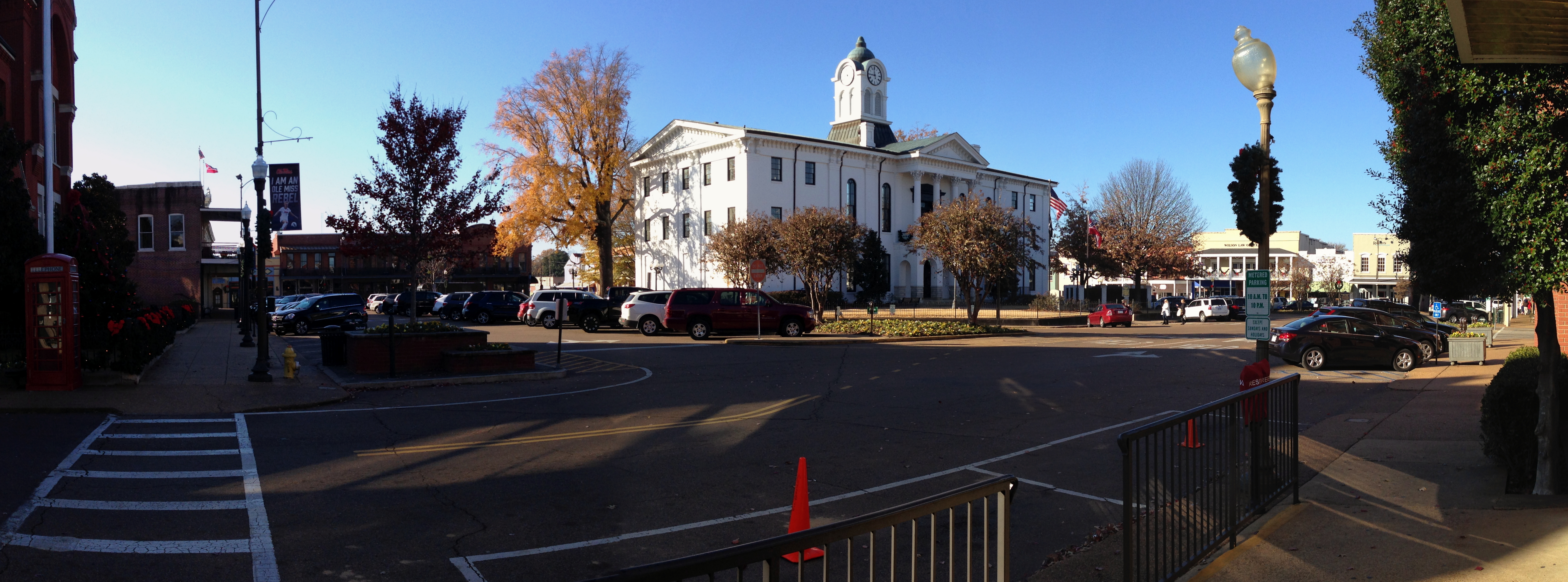
Lafayette County Courthouse550 ft
Fast food restaurants nearby
Sonic550 ft
Guthrie's0.3 mi
Fitness centers nearby
Oxford CrossFit0.4 mi
Team RA Martial Arts0.4 mi
Furniture stores nearby
Provision Oxford0.3 mi
Hotels nearby
The Oliver Hotel of Oxford500 ft
Ole Miss Motel0.2 mi
Party supply stores nearby
Details0.2 mi
Residential buildings nearby
Canterbury Crest Apartments0.2 mi
Restaurants nearby
Proud Larry's300 ft
Newk's Express Cafe0.1 mi
Theaters nearby
The Lyric Oxford250 ft
Public transit map Oxford Legend
| Railway | |
| Bus | |
| Streetcar |
Bicycle map Oxford Legend
| Bike path | |
| Bike lane on roadway | |
| Cycling allowed on bus lane | |
| Bicycle street | |
| Open to cyclists | |
| Open to cyclists, good path | |
| Cycling prohibited | |
| Cobblestone |
| Long-distance bike route | (depending on scale) | |
| Long-distance bike route |
Pedestrian map Oxford Legend
| Path |
| Long-distance hiking trail | (depending on scale) | |
| Long-distance hiking trail | ||
| Pedestrians prohibited |