
Morningside Drive in Lee's Summit, Missouri
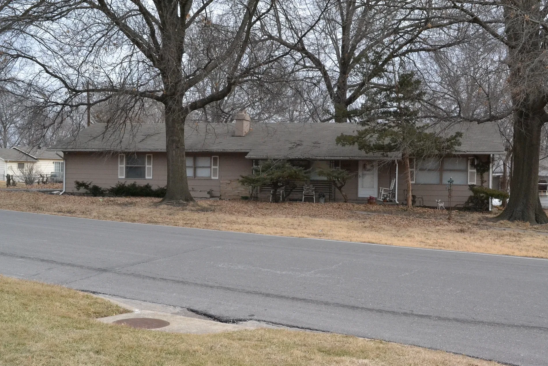
Morningside Drive in Lee's Summit is a residential street and it runs in an east-west direction starting from Southeast Independence Avenue and ends in a cul-de-sac. Morningside Drive also exists in Kansas City and Garden City.
- Road Type
- residential street
- Route
- east-west
Image
Cafes
Fast food restaurants
Secondhand stores
Pharmacies
Ice cream shops
Beauty salons
Restaurants
Charging stations
Copy shops
Laundries
Hair salons
Pubs
Hardware stores
Bars
Tobacco shops
Banks
Streets nearby
Southeast Morningside Drive150 ft
Southeast 4th Street550 ft
Southeast 3rd StreetMcDonald's, Bar*istro, Volume Instant Printing, The Cigar Room, Frankie Farelanes, Country Club Bank, Salon Metric, Cameron's Home Furnishings, Summit Sports, Brick's Pub & Grub, All A'Bloom, Lee's Summit Martial Arts, Neighboorhood Cafe, Lewellen's Rub, Metric Baber Shop
0.1 mi
Southeast 4th Terrace0.1 mi
Southeast Independence Avenue0.1 mi
High Street0.2 mi
Southeast Florence Avenue0.2 mi
Southeast Summit Avenue0.2 mi
Southeast Melody LaneWash House Laundry, Mali Thai Bistro
0.2 mi
Private Street0.2 mi
Southeast 3rd TerraceHawaiian Bros Island Grill
0.3 mi
Southeast 5th Street0.3 mi
Southeast Corder Street0.3 mi
Southeast Howard Street0.3 mi
Willow Way0.3 mi
Exercise Path0.3 mi
Southeast 2nd StreetLending Library
0.3 mi
East Langsford RoadPapa Murphy's, Subway, Savers
0.3 mi
Southeast Lee Haven Drive0.4 mi
Cooper Street0.4 mi
Northeast Ash Street0.4 mi
Southeast Green Street0.4 mi
Southeast Grand Avenue0.4 mi
Northeast Corder Street0.4 mi
Southeast Johnson Street0.4 mi
Wilson Street0.5 mi
Northeast Short Street0.5 mi
Southeast Eastridge Street0.5 mi
Auto parts stores nearby
Advance Auto Parts0.2 mi
Auto repair shops nearby
Royal Automotive0.1 mi
Banks nearby
Commerce Bank0.2 mi
Buildings nearby
54th Street Bar & Grill0.2 mi
Cemeteries nearby
Lee's Summit's Historical Cemetery0.2 mi
Commercial areas nearby
Lee's Landing Professional Center0.3 mi
Convenience stores nearby
Casey's General Store0.2 mi
Convenience Plus0.4 mi
Fast food restaurants nearby
Abelardo's Mexican Fresh0.4 mi
Gas stations nearby
Phillips 660.2 mi
Shell0.4 mi
Parks nearby
Williams-Grant Park0.2 mi
Places of worship nearby
Saint Paul's Episcopal Church0.4 mi
Residential areas nearby
Gordanier Estates0.2 mi
Arlington Park0.4 mi
Restaurants nearby
Hawaiian Bros Island Grill0.1 mi
Retail areas nearby
Plaza 3rd Center0.1 mi
Bayberry Crossings0.3 mi
School buildings nearby
St. Mary's School0.4 mi
Tattoo studios nearby
Glory Bound Tattoo0.1 mi
Thrift stores nearby
Red Racks Thrift Store0.4 mi
Public transit map Lee's Summit Legend
| Railway | |
| Bus | |
| Streetcar |
Bicycle map Lee's Summit Legend
| Bike path | |
| Bike lane on roadway | |
| Cycling allowed on bus lane | |
| Bicycle street | |
| Open to cyclists | |
| Open to cyclists, good path | |
| Cycling prohibited | |
| Cobblestone |
| Long-distance bike route | (depending on scale) | |
| Long-distance bike route |
Pedestrian map Lee's Summit Legend
| Path |
| Long-distance hiking trail | (depending on scale) | |
| Long-distance hiking trail | ||
| Pedestrians prohibited |