
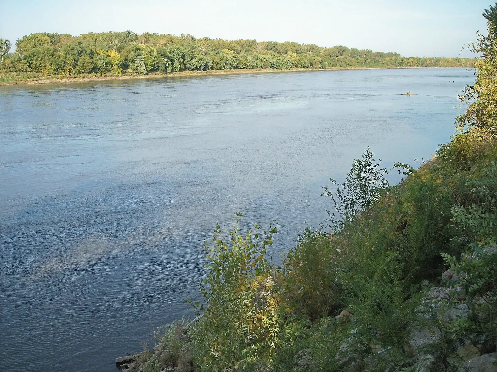
Missouri River in St. Charles, Missouri
Missouri River in Saint Charles is a river. Missouri River is also known as Missouri. Missouri River also exists in West Alton. Ⓦ.
- Waterway Type
- river
Bus stops
Tourist information centers
Schools
Veterinary clinics
Town halls
Artworks
Fire stations
Courthouses
Restaurants
Streets nearby
Randolph Street0.2 mi
North Second StreetSecond Street and Lawrence Street, Saint Charles, Saint Charles Fire Department, Saint Charles City Hall, Second Street and Clark Street, Second Street and Tecumseh Street
0.2 mi
Wood Street0.3 mi
French Street0.3 mi
North Main Center0.3 mi
Howard Street0.3 mi
Bayard Street0.3 mi
Katy TrailMammals, Birds All Around, Lewis and Clark Statue, L&C Expedition, Lewis & Clark Campsite, Captain Clark's Journal, 39, Water Quality, What you can do to help, Why is this area a wetland, Insects & Wetlands, Water in wetlands, Wetlands-Where land & water meet, Ecopark Information, Plants in wetlands, Wildlife & Wetlands, What happens when wetlands are lost, Why wetlands are valuable, 40
0.3 mi
Wilkinson Street0.3 mi
Montgomery Street0.4 mi
Bainbridge Street0.4 mi
Missouri Bottom Road0.4 mi
North Fourth StreetForth Street and Tecumseh Street
0.5 mi
Tower Grove Place0.5 mi
Will's Way0.5 mi
Moore Avenue0.5 mi
Sundermeier Drive0.5 mi
Olive Street0.5 mi
North Fifth StreetFifth Street and Randolph Street, Fifth Street and Jefferson Street
0.5 mi
Strong Drive0.5 mi
Central Drive0.5 mi
North Third StreetOld Court House, Franklin School, Dairy Queen, Hardee's
0.5 mi
Mel Wetter Parkway0.5 mi
Boschert Greenway0.5 mi
Riverside DriveFoundry Art Centre, First Capitol Drive and Riverside Drive, Riverside Drive and First Capitol Drive
0.5 mi
Tecumseh Street0.5 mi
Clark StreetSecond Street and Clark Street, Kingshighway and Clark Street
0.5 mi
Vine Street0.5 mi
Lawrence Street0.5 mi
North Main Street0.5 mi
Gateway Drive0.5 mi
Carr Street0.6 mi
North Kingshighway StreetSt. Charles Animal Hospital, Sushi Boat
0.6 mi
Transit Street0.6 mi
West Randolph StreetBlancette, West Randolph Street and Oxford Place
0.6 mi
Rachel's Road0.6 mi
Discovery Bridge0.7 mi
Junior DriveAmazon Locker - Comic Book Relief
0.7 mi
Emmons Avenue0.7 mi
Arts centers nearby
Foundry Art Centre0.5 mi
Cafes nearby
La Belle Vie0.2 mi
Industrial buildings nearby
Wesco Machinery & Industrial Movers(Under Construction)0.4 mi
Parks nearby
Eco Park0.6 mi
Blanchette Park0.6 mi
Places of worship nearby
Shrine of St Rose Philippine Duchesne0.5 mi
Shelters nearby
Gabazo0.2 mi
Sports centers nearby
Climb So iLL at the Steel Shop0.4 mi
Blanchette Aquatic Facility0.7 mi
Sports fields nearby
Ball Field 40.6 mi
| Named after | Missouria |
|---|---|
| Length | 3726 |
| Located in | Montana, North Dakota, South Dakota, Nebraska, Iowa, Missouri, Kansas |
| Country | United States |
| Mouth | Mississippi River |
| Tributary | Little Missouri River, Grand River, Moreau River, Cheyenne River, Bad River, White River, Niobrara River, James River, Vermillion River, Big Sioux River, Platte River, Kansas River, Milk River, Yellowstone River, Osage River, Mosquito Creek, Boyer River, Ponca Creek, Perry Creek, Floyd River, Little Sioux River, Soldier River, Jefferson River, Marias River, Dearborn River, Madison River, Cannonball River, Gallatin River, Roe River, Heart River, Musselshell River, Knife River, Big Muddy Creek, Judith River, Sun River, Chariton River, Arrow Creek, Belt Creek, Blue River, Cow Creek, Crooked River, Cuivre River, Fishing River, Gasconade River, Lamine River, Little Blue River, Little Muddy Creek, Loutre River, Nodaway River, Papillion Creek, Poplar River, Redwater River, Sixteen Mile Creek, Smith River, Tarkio River, Wolf River, Nishnabotna River, Big Dry Creek (Montana), Auxvasse Creek, Big Berger Creek, Perche Creek, Blacksnake Creek, Big Nemaha River, Little Nemaha River, Sacagawea River, Little Chariton River, Sni-A-Bar Creek |
| Native name | Missouri River |
| Described by | Brockhaus and Efron Encyclopedic Dictionary, Small Brockhaus and Efron Encyclopedic Dictionary, Great Soviet Encyclopedia (1926–1947), Encyclopædia Britannica 11th edition, The American Cyclopædia, Collier's New Encyclopedia, 1921, New International Encyclopedia, The New Student's Reference Work, Granat Encyclopedic Dictionary |
 Public transit map Saint Charles Legend
| Railway | |
| Bus | |
| Streetcar |
 Bicycle map Saint Charles Legend
| Bike path | |
| Bike lane on roadway | |
| Cycling allowed on bus lane | |
| Bicycle street | |
| Open to cyclists | |
| Open to cyclists, good path | |
| Cycling prohibited | |
| Cobblestone |
| Long-distance bike route | (depending on scale) | |
| Long-distance bike route |
 Pedestrian map Saint Charles Legend
| Path |
| Long-distance hiking trail | (depending on scale) | |
| Long-distance hiking trail | ||
| Pedestrians prohibited |