
Bancroft Avenue in College View, Lincoln, Nebraska
Bancroft Avenue in College View in Lincoln is a residential street. It runs in an east-west direction and crosses South 46th Street, South 47th Street and South 48th Street and ends at South 49th Street, while the other end is a cul-de-sac. Nearby there is a school. Bancroft Avenue also exists in Indian Village.
- Road Type
- residential street
- Speed Limit
- 25 mph
- Route
- east-west
Image
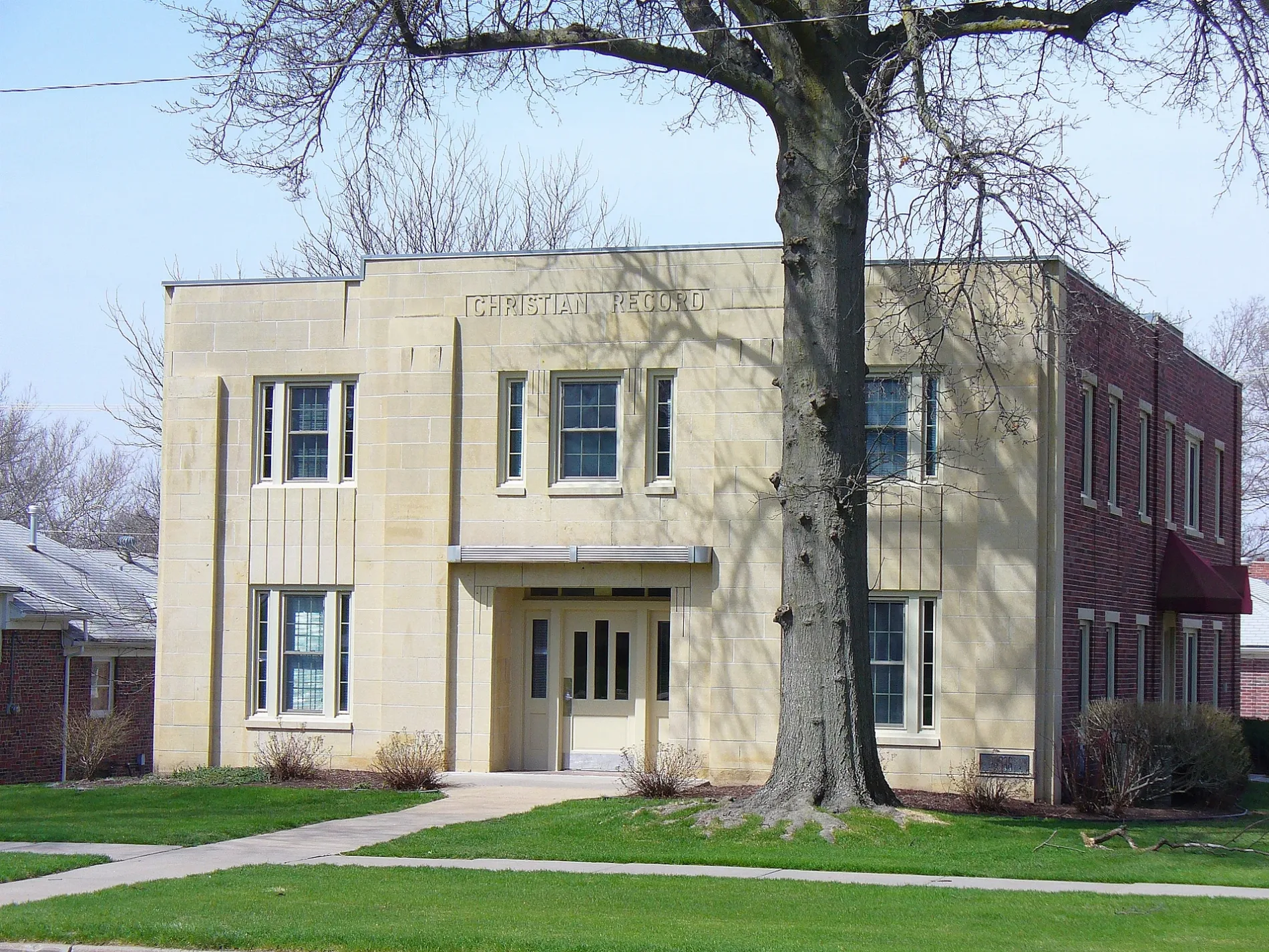
Schools
Streets nearby
Hillside Street0.1 mi
Stockwell Street0.1 mi
Cooper AvenueBadgers Bookshop
0.2 mi
Sheridan Boulevard0.2 mi
Prescott AvenueGoldenrod Pastries, The Mill on Prescott
0.2 mi
Trolley Lane0.3 mi
South 42nd Street0.3 mi
Sherman Street0.3 mi
Peanut Hill Road0.3 mi
Curtis Drive0.3 mi
High StreetHoly Family School
0.3 mi
Glenhaven Place0.3 mi
South 40th Street0.3 mi
Chapin Circle0.4 mi
South 46th Street0.4 mi
Meredeth StreetCasey's General Store
0.4 mi
Prairie Hill Circle0.4 mi
Prairie Road0.4 mi
South 51st Street0.4 mi
Fords Forest Court0.4 mi
Stockwell CourtStockwell Ridge
0.4 mi
South 39th Street0.4 mi
South 49th StreetLPD Union College Substation
0.4 mi
South 47th StreetDirksen
0.4 mi
South 43rd Street0.4 mi
Pioneers BoulevardPhillips 66, Colby Ridge, LaMar’s, Little Caesars, Pella Windows & Doors
0.4 mi
Clifford Drive0.4 mi
South 44th Street0.5 mi
South 48th Street0.5 mi
Apartment buildings nearby
Safe Harbor Living LLC0.2 mi
Car washes nearby
Power Wash0.4 mi
Commercial buildings nearby
Calvert Place Mall0.2 mi
Fitness centers nearby
Thunderdome0.3 mi
Places of worship nearby
College View Seventh Day Adventist Church0.3 mi
Restaurants nearby
Penelope's Lil Cafe0.4 mi
Retail buildings nearby
Stoneview Center0.5 mi
School buildings nearby
Calvert Elementary School200 ft
Helen Hyatt Elementary/Middle School0.4 mi
Sports centers nearby
Calvert Recreation Center0.1 mi
Sports halls nearby
AdventHealth Complex0.3 mi
Technical colleges nearby
Carnegie Building0.2 mi
Ortner Center0.3 mi
Prescott Hall0.3 mi
University buildings nearby
Engel Hall0.2 mi
Everett Dick Administration Building0.3 mi
Krueger Center for Science and Mathematics0.3 mi
Don Love Building0.3 mi
Larson Lifestyle Center0.3 mi
AdventSource0.4 mi
 Public transit map College View Legend
| Railway | |
| Bus | |
| Streetcar |
 Bicycle map College View Legend
| Bike path | |
| Bike lane on roadway | |
| Cycling allowed on bus lane | |
| Bicycle street | |
| Open to cyclists | |
| Open to cyclists, good path | |
| Cycling prohibited | |
| Cobblestone |
| Long-distance bike route | (depending on scale) | |
| Long-distance bike route |
 Pedestrian map College View Legend
| Path |
| Long-distance hiking trail | (depending on scale) | |
| Long-distance hiking trail | ||
| Pedestrians prohibited |