
Sherman Street in College View, Lincoln, Nebraska
Sherman Street in College View in Lincoln is a residential street and runs in an east-west direction starting from South 44th Street and ends at South 46th Street. Sherman Street also exists in Country Club, Van Dorn Meadows and Fox Hollow.
- Road Type
- residential street
- Route
- east-west
Image
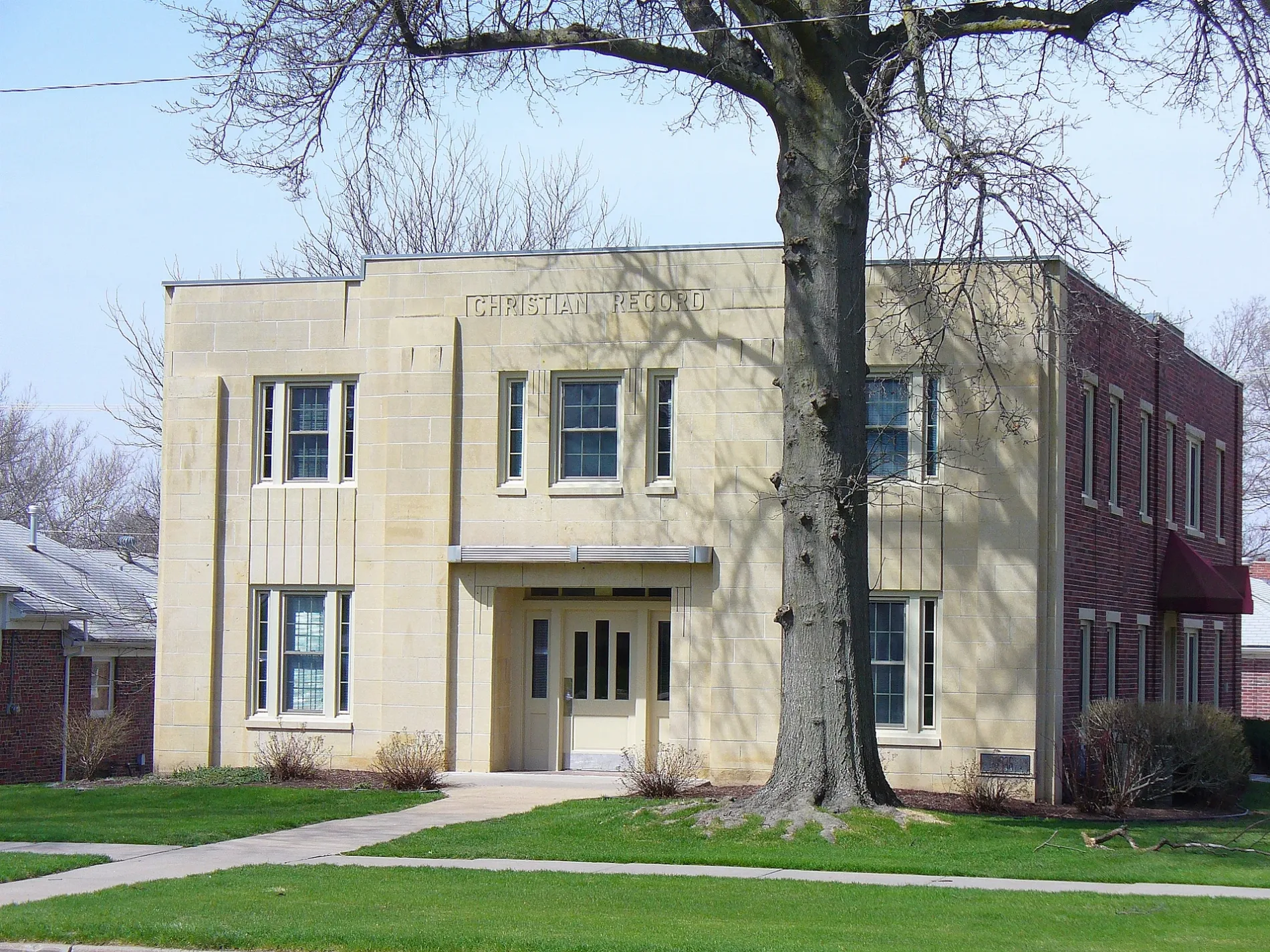
Studios
Police stations
Clothing stores
Marketplaces
Gas stations
Schools
Bookstores
Bakeries
Glass shops
Convenience stores
Fast food restaurants
Theaters
Libraries
Streets nearby
South 46th Street50 ft
Peanut Hill Road350 ft
Hillside Street500 ft
Trolley Lane0.1 mi
High StreetHoly Family School
0.2 mi
Calvert Street0.2 mi
South 48th StreetKwik Shop, Casey's General Store, College View
0.2 mi
Prairie Hill Circle0.2 mi
South 44th Street0.2 mi
South 47th StreetDirksen
0.2 mi
Sheridan Boulevard0.2 mi
Pawnee Street0.2 mi
Apple Hill Lane0.3 mi
Prairie Road0.3 mi
Bancroft AvenueGeorge Stone Elementary & Middle School
0.3 mi
Curtis Drive0.3 mi
Meadow Lane0.3 mi
South 51st Street0.3 mi
Fords Forest Court0.3 mi
Sherman StreetGlenhaven
0.3 mi
South 51st Place0.3 mi
South 49th StreetLPD Union College Substation
0.3 mi
Glenhaven Place0.3 mi
Stockwell Street0.3 mi
South 52nd Street0.3 mi
South 51st Street Court0.4 mi
Van Dorn Street0.4 mi
Cooper AvenueBadgers Bookshop
0.4 mi
South 42nd Street0.4 mi
Chapin Circle0.4 mi
Eden Circle0.4 mi
Golden Tree Terrace0.4 mi
East Eden Drive0.4 mi
South 40th Street0.4 mi
South 39th Street0.4 mi
Woodbine Avenue0.5 mi
Anderson Drive0.5 mi
Sheridan CourtSheridan Court
0.5 mi
Austin Drive0.5 mi
South 41st Street0.5 mi
Apartment buildings nearby
Safe Harbor Living LLC0.2 mi
Bars nearby
Urban Hound0.4 mi
Commercial buildings nearby
Calvert Place Mall0.2 mi
Drugstores nearby
CVS Pharmacy0.4 mi
Fast food restaurants nearby
McDonald's0.4 mi
School buildings nearby
Calvert Elementary School0.3 mi
Helen Hyatt Elementary/Middle School0.4 mi
Social facilities nearby
Van Dorn Villa Retirement Living0.4 mi
Sports centers nearby
Calvert Recreation Center0.3 mi
University buildings nearby
Engel Hall0.3 mi
Public transit map College View Legend
| Railway | |
| Bus | |
| Streetcar |
Bicycle map College View Legend
| Bike path | |
| Bike lane on roadway | |
| Cycling allowed on bus lane | |
| Bicycle street | |
| Open to cyclists | |
| Open to cyclists, good path | |
| Cycling prohibited | |
| Cobblestone |
| Long-distance bike route | (depending on scale) | |
| Long-distance bike route |
Pedestrian map College View Legend
| Path |
| Long-distance hiking trail | (depending on scale) | |
| Long-distance hiking trail | ||
| Pedestrians prohibited |