
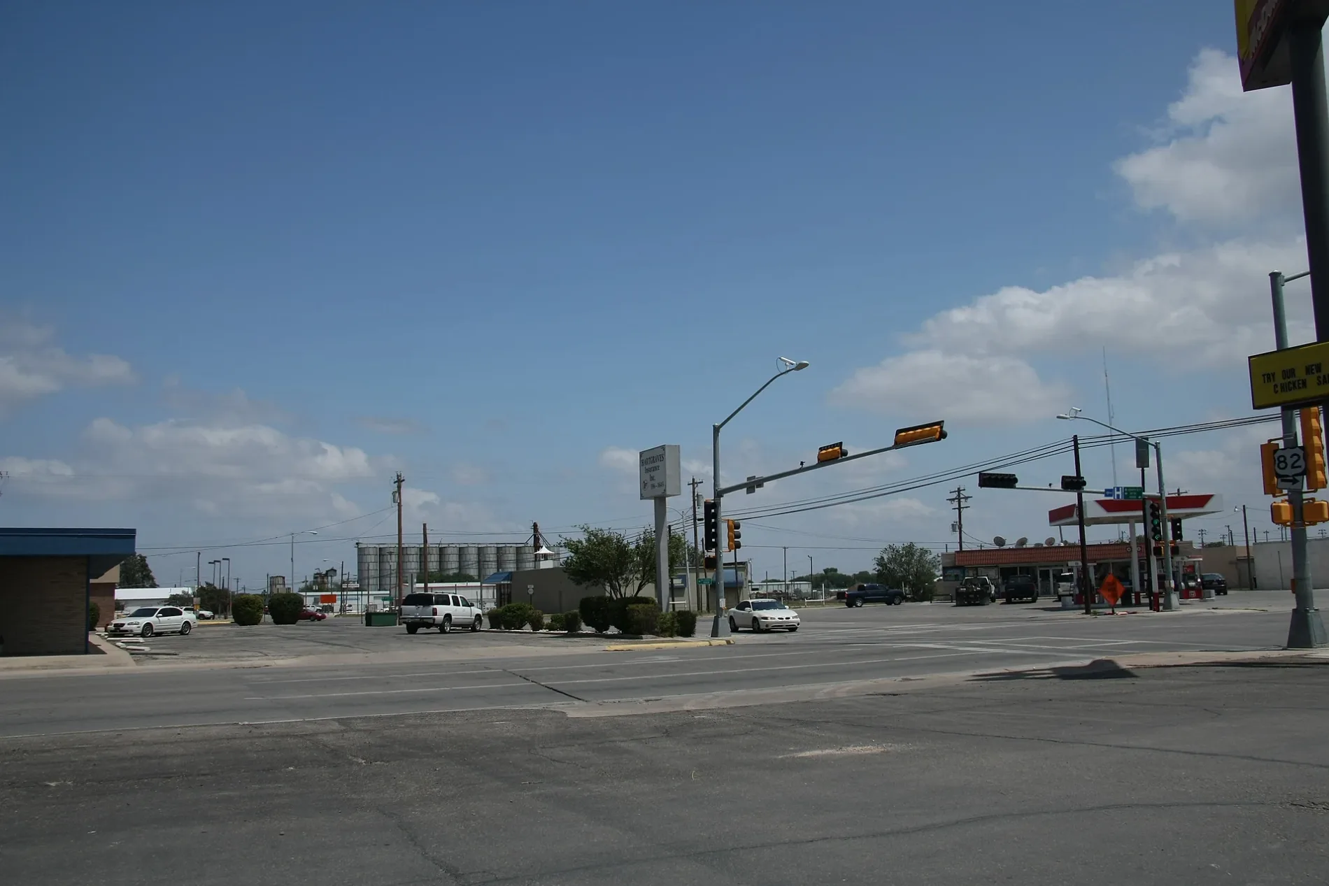
South Eddy Street in Lovington, New Mexico
South Eddy Street in Lovington is a residential street. It runs in a north-south direction starting from North Eddy Street and crosses East Central Avenue, East Avenue A, East Avenue B and East Avenue C and ends at East Avenue D.
- Road Type
- residential street
- Route
- north-south
Image
Tourist information centers
Secondhand stores
Restaurants
Furniture stores
Hair salons
Car washes
Vape shops
Places of worship
Event venues
Cell phone stores
Museums
- Lea County Museum (Web) – approx. 0.2 mi.
Fast food restaurants
Attractions
Gas stations
Cannabis dispensaries
Craft stores
Variety stores
Beauty salons
Streets nearby
East Avenue A0.1 mi
East Avenue CDomino's
0.1 mi
South Commercial Street0.1 mi
East Avenue B0.1 mi
East Avenue DLea County Museum
0.2 mi
South East Street0.2 mi
East Central AvenueLovington Visitor Center
0.2 mi
South Love StreetLea County Museum
0.2 mi
South Main AvenueAlon
0.2 mi
East Washington AvenueFOF Foods, Gems and Junque, Ooh-La-La
0.2 mi
East Avenue E0.3 mi
Park Drive0.3 mi
East Park Drive0.3 mi
East Adams Avenue0.3 mi
South 1st StreetChurch of the Nazarene
0.3 mi
North Commercial Street0.4 mi
East Jefferson Avenue0.4 mi
Auto repair shops nearby
Lea County Collision Center0.3 mi
Banks nearby
Estacado Federal Credit Union0.3 mi
First American Bank0.3 mi
Buildings nearby
Lister Building0.2 mi
Haarmeyer Electric0.2 mi
Lovington Leader0.3 mi
J. M. Denton Building0.3 mi
Ross Black Central Office0.4 mi
Clothing stores nearby
Smarty Pants0.3 mi
Commercial buildings nearby
Western States Insurance Group0.3 mi
Community centers nearby
American Legion Post 680.1 mi
Convenience stores nearby
Allsup's0.2 mi
Courthouses nearby
Lea County Courthouse0.2 mi
Lea County Clerk0.2 mi
Lea County Magistrate Courthouse0.2 mi
Fast food restaurants nearby
Pearl's Mexican Cafe0.2 mi
McDonald's0.3 mi
Sonic0.3 mi
Fire stations nearby
Lovington Fire Department0.1 mi
Florists nearby
Padge's Flowers Shop0.3 mi
Hardware stores nearby
Higginbotham Bartlett Company0.3 mi
Movie theaters nearby
Lea Theatre0.2 mi
Parks nearby
Storybook Park0.2 mi
Fran Atchley Plaza0.2 mi
Places of worship nearby
Príncipe de Paz Apostolic Assembly0.4 mi
First Baptist Church0.4 mi
Post offices nearby
Lovington Post Office0.2 mi
Pubs nearby
Drylands Brewing Company0.4 mi
Restaurants nearby
Panda Buffet0.2 mi
Jimenez Rancho Grande0.3 mi
Lazy 60.3 mi
Town halls nearby
Lovington City Hall0.2 mi
Public transit map Lovington Legend
| Railway | |
| Bus | |
| Streetcar |
Bicycle map Lovington Legend
| Bike path | |
| Bike lane on roadway | |
| Cycling allowed on bus lane | |
| Bicycle street | |
| Open to cyclists | |
| Open to cyclists, good path | |
| Cycling prohibited | |
| Cobblestone |
| Long-distance bike route | (depending on scale) | |
| Long-distance bike route |
Pedestrian map Lovington Legend
| Path |
| Long-distance hiking trail | (depending on scale) | |
| Long-distance hiking trail | ||
| Pedestrians prohibited |