
Elion Drive in Durham County, North Carolina
Elion Drive in Durham County is an asphalted residential street. The street has no sidewalks. It runs in a northeast-southwest direction starting from Park Drive and crosses Hitchings Way.
- Road Type
- residential street
- Route
- northeast-southwest
Image
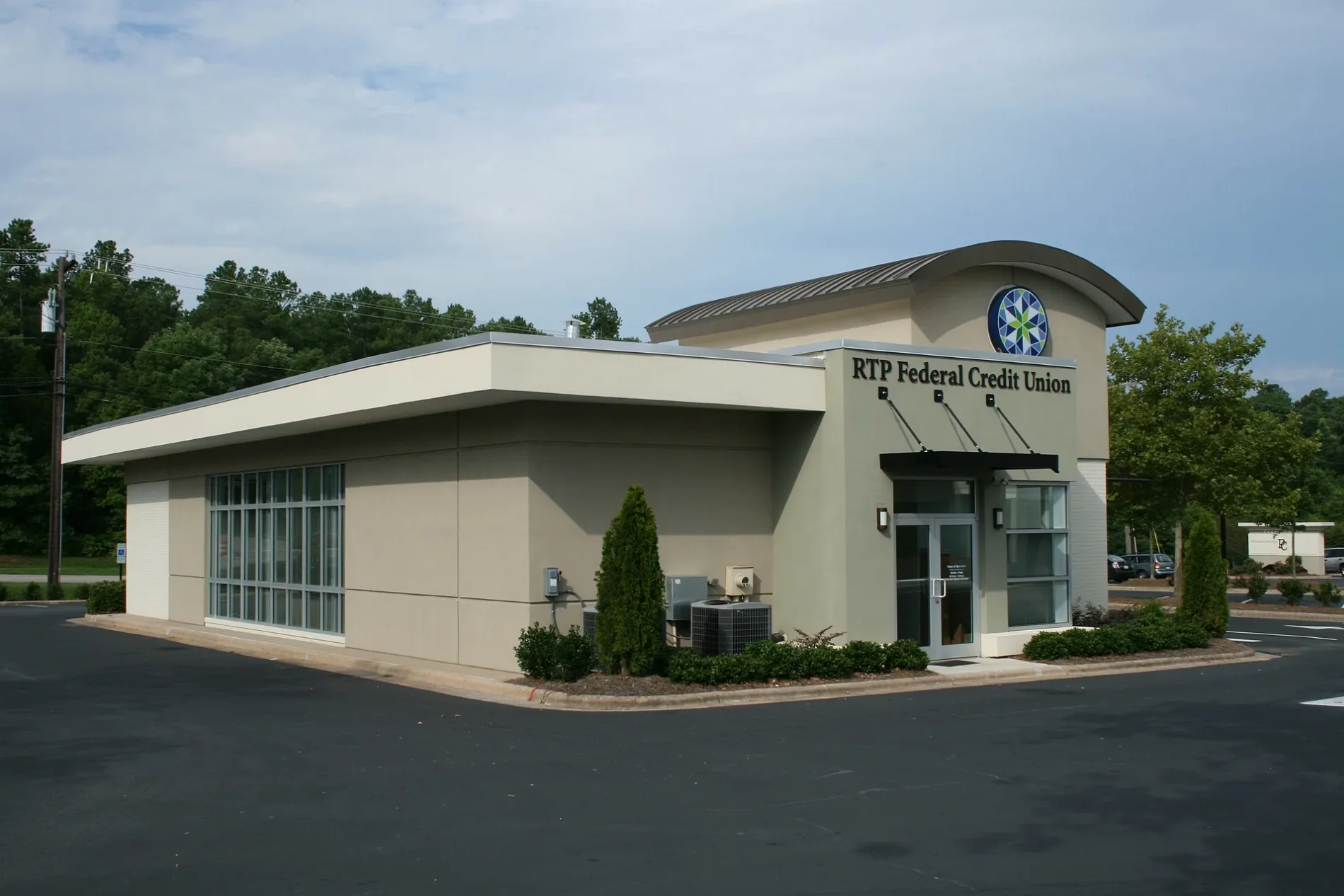
Streets nearby
Rodbell Street0.1 mi
Hitchings Way0.1 mi
Park Drive0.1 mi
Modrich Boulevard0.2 mi
Davis Drive0.3 mi
Park Offices DriveNC 54 at Park Office Dr (The Frontier), Carrburritos, Beyu Caffe, Honeypress, Meat & Graze, Bulkogi, Lawrence Barbecue, Wonderpuff, Lagoon, Boxyard RTP
0.4 mi
East Institute Road0.5 mi
Laboratory Drive0.6 mi
Jogging Trail - NC 54NC 54 at New Millennium Way (WB), NC 54 at New Millennium Way (EB), NC 54 at Triangle Dr (EB), NC 54 at Triangle Dr (WB)
0.6 mi
Jogging Trail - Laboratory Drive0.7 mi
Estridge Drive0.7 mi
Eagleson Street0.8 mi
Sidepark Street0.8 mi
Finsbury Street0.8 mi
Avett Drive0.8 mi
Talley Street0.8 mi
Libson Street0.8 mi
Rambler Lane0.8 mi
Park Center LoopNC 54 at Park Dr (Inbound), NC 54 at Research Triangle High School, NC 54 at Park Dr (First Citizens Bank)
0.8 mi
Old Durham Freeway0.8 mi
Merrion Avenue0.8 mi
East Cornwallis Road0.8 mi
Jenkins Road0.9 mi
Durham Freeway0.9 mi
Oakley Street0.9 mi
Faulkner Street0.9 mi
Thayer Street0.9 mi
Chesterfield Lane0.9 mi
Egg Loop Road0.9 mi
Keating Street0.9 mi
RTP Connector Trail0.9 mi
Triangle Expressway0.9 mi
T.W. Alexander Drive1.0 mi
Violet Street1.0 mi
Lakeview Drive1.0 mi
Banks nearby
Wells Fargo0.1 mi
Buildings nearby
Frontier Building 8000.5 mi
Six Davis Drive0.6 mi
POMAlarm0.8 mi
Commercial areas nearby
Hub RTP450 ft
RTI International0.7 mi
Commercial buildings nearby
BASF Corporation - The Research Triangle Park0.3 mi
Dog parks nearby
Bark Park1.0 mi
Parking lots nearby
Fidelity Investments Parking Deck0.5 mi
Parks nearby
First Flight Venture Center0.8 mi
Retail areas nearby
Boxyard RTP0.6 mi
Sports fields nearby
RTP Volleyball Courts 1-30.7 mi
Streams nearby
Burdens Creek0.5 mi
Waters nearby
Fidelity Investments Fountian Pond0.5 mi
 Public transit map Durham County Legend
| Railway | |
| Bus | |
| Streetcar |
 Bicycle map Durham County Legend
| Bike path | |
| Bike lane on roadway | |
| Cycling allowed on bus lane | |
| Bicycle street | |
| Open to cyclists | |
| Open to cyclists, good path | |
| Cycling prohibited | |
| Cobblestone |
| Long-distance bike route | (depending on scale) | |
| Long-distance bike route |
 Pedestrian map Durham County Legend
| Path |
| Long-distance hiking trail | (depending on scale) | |
| Long-distance hiking trail | ||
| Pedestrians prohibited |