
Patton Street in Hendersonville, North Carolina
Patton Street in Hendersonville is a residential street and it runs in a South direction starting from Highland Avenue and crosses Killarny Street and ends at Asheville Highway. Patton Street also exists in Alamance County, Burke County, Cumberland County, Graham County and Lee County.
- Road Type
- residential street
- Route
- north-south
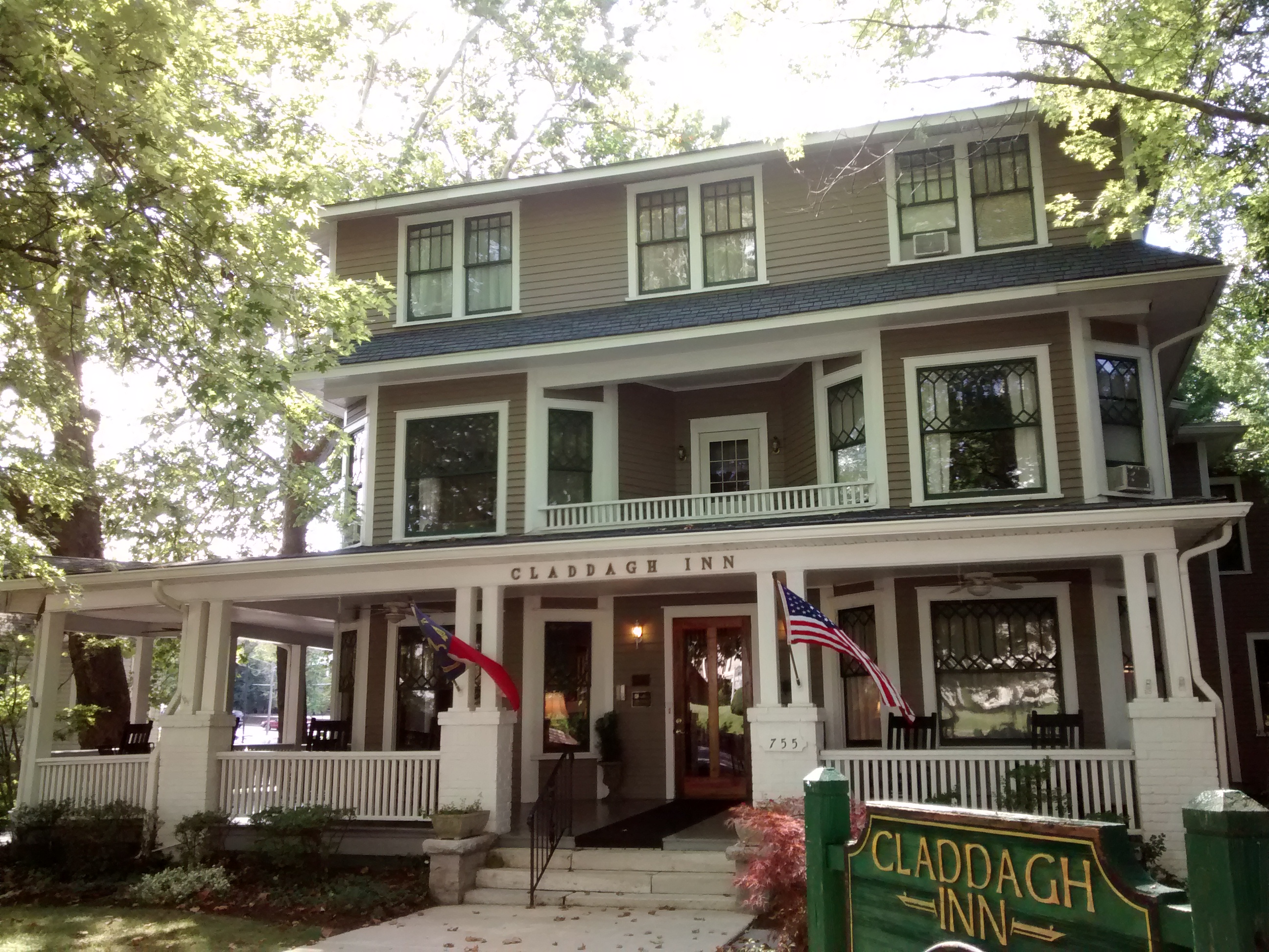
Image
Pharmacies
Laundries
Gas stations
Veterinary clinics
Tattoo studios
Doctor's offices
Copy shops
Banks
Hotels
Schools
Butcher shops
Bakeries
Hair salons
Fast food restaurants
Bars
Interior decorators
Bike shops
Event venues
Restaurants
Pet grooming salons
Streets nearby
Asheville Highway200 ft
Killarny Street550 ft
Algeria Street0.1 mi
Fassifern Court0.1 mi
Schepper StreetWalgreens
0.1 mi
Laurel Street0.2 mi
Shipp Street0.2 mi
Scott Street0.2 mi
Waynesville Street0.2 mi
Maple StreetCabbage Rose Venue
0.2 mi
North Main StreetBlack Bear Coffee Co., First Citizens Bank, Asheville Savings Bank, Black Rose Pub, Forest Commercial Bank, GypsyHeart, La Vida Loca, Mezzaluna, T's Blue Note, DAD'S C.A.T.S., Four Seasons Hospice, Moon on Main, Wag! A Unique Pet Boutique, Dancing Bear Toys, Kilwins Chocolates, Silver Fox Gallery, Village Green Antique Mall, Goldsmith By Rudi, The Dugout, Young Designs LLC, Wickwire Fine Art Folk Art, Vessel
0.2 mi
Hyman Street0.2 mi
9th Avenue East0.2 mi
Locust StreetSycamore Cycles, Key Associates
0.2 mi
Regal Street0.2 mi
Lynn Street0.2 mi
Service Drive0.2 mi
Ray Avenue0.2 mi
Bearcat BoulevardThe Charleston Inn
0.2 mi
Highland Avenue0.2 mi
Edgewood Avenue0.3 mi
Maiden Lane0.3 mi
Elizabeth Street0.3 mi
North Grove StreetAll Saints Animal Hospital, Patchwork Community Care
0.3 mi
Ocain Court0.3 mi
8th Avenue EastSouthern Appalachian Brewery
0.3 mi
White Sparrow Drive0.3 mi
Oriole Drive0.3 mi
Ashe Street0.4 mi
Track Street0.4 mi
Goldfinch Drive0.4 mi
Lincoln Circle0.4 mi
Towhee Drive0.4 mi
Parkview Drive0.4 mi
Martin Circle0.4 mi
Robinson Terrace0.4 mi
Woodcock Drive0.5 mi
Buildings nearby
Guidon Brewing Company0.3 mi
Fire stations nearby
Hendersonville Fire Department0.2 mi
Motels nearby
1898 Waverly Inn0.3 mi
Parks nearby
William H. King Memorial Park0.4 mi
Railways nearby
W-Line0.3 mi
Hendersonville Siding0.3 mi
Blue Ridge Southern (W-Line)0.4 mi
Restaurants nearby
Pop's Diner0.1 mi
Sports halls nearby
Jim Pardue Gymnasium0.1 mi
Stadiums nearby
Deitz Field0.1 mi
Vacation apartments nearby
Braeburn Bungalow0.2 mi
Other nearby
Beech Street Retail Substation0.4 mi
Public transit map Hendersonville Legend
| Railway | |
| Bus | |
| Streetcar |
Bicycle map Hendersonville Legend
| Bike path | |
| Bike lane on roadway | |
| Cycling allowed on bus lane | |
| Bicycle street | |
| Open to cyclists | |
| Open to cyclists, good path | |
| Cycling prohibited | |
| Cobblestone |
| Long-distance bike route | (depending on scale) | |
| Long-distance bike route |
Pedestrian map Hendersonville Legend
| Path |
| Long-distance hiking trail | (depending on scale) | |
| Long-distance hiking trail | ||
| Pedestrians prohibited |