
Independence Boulevard in Charlotte, North Carolina
Independence Boulevard in Charlotte is a three-lane expressway (Road number US 74). It runs as a one-way street in a northwest-southeast direction starting from East Independence Boulevard and crosses Sardis Road North and ends at Crownpoint Executive Drive. Independence Boulevard is also known as Andrew Jackson Highway. This street is part of the highway "74". Independence Boulevard also exists in Burke County, New Hanover County, Pitt County, Robeson County and Union County.
- Alternate Name
- Andrew Jackson Highway
- Road Type
- expressway
- Lanes
- 3
- Route
- southeast-northwest
Image
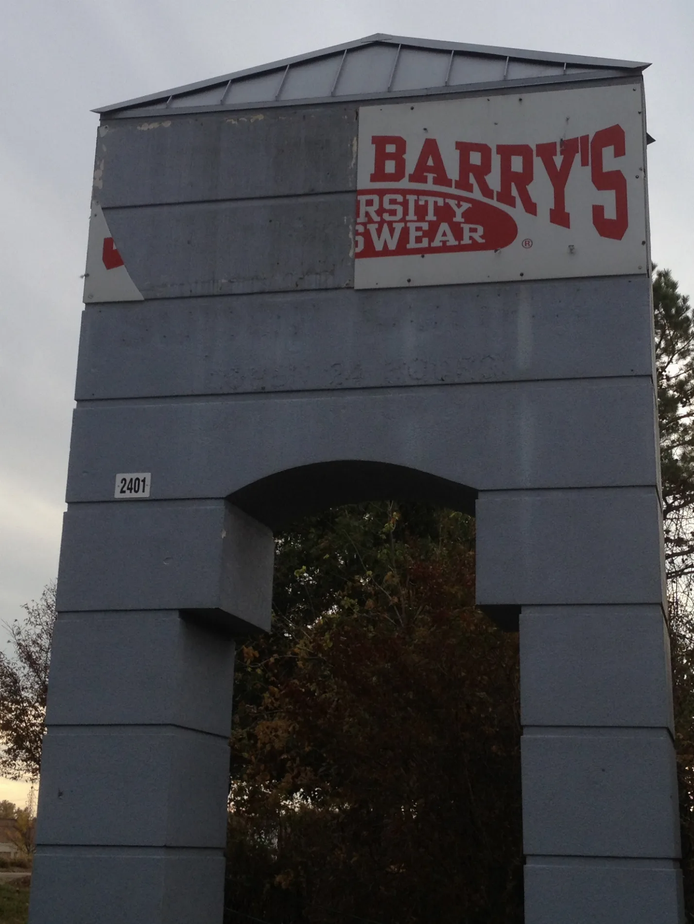
Streets nearby
Sardis Road NorthSardis Rd North & Crownpoint Executive Dr, FedEx Office, Cook Out
0.2 mi
Crown Point Drive0.2 mi
Crownpoint Executive DriveCrownpoint Executive Dr & Independence Blvd, Crownpoint Executive Dr @ 2201
0.3 mi
East Independence BoulevardSwan Cleaners, Leather Shoes, Aaron's, Fusion Lounge, Lamborghini
0.3 mi
Krefeld Drive0.3 mi
Hayden Way0.3 mi
Boyd Drive0.4 mi
Ridgeview Road0.4 mi
Cross Pointe Circle0.4 mi
Scenic Drive0.4 mi
Ardis Court0.4 mi
Claire Drive0.4 mi
Crown Centre Drive0.4 mi
Big Creek Court0.5 mi
Sam Newell RoadSpringdale Church, Ross
0.5 mi
Independence Harley Riding Academy0.5 mi
Lakeview Circle0.6 mi
Meadow Lane0.6 mi
Lakeview Crescent0.6 mi
East Point Drive0.6 mi
Rice Road0.6 mi
Rondeau Court0.6 mi
Appliance stores nearby
Plaza Appliance Mart0.7 mi
Auto repair shops nearby
AAA Carolinas0.7 mi
Pep Boys0.7 mi
Car dealerships nearby
Tactical Fleet0.4 mi
Infiniti Of Charlotte0.5 mi
Commercial buildings nearby
Vista Auctions0.2 mi
Department stores nearby
Burlington0.2 mi
Fast food restaurants nearby
Krispy Kreme0.6 mi
Fitness centers nearby
Big Air Trampoline Park - Charlotte0.2 mi
Furniture stores nearby
Value City Furniture0.2 mi
Hotels nearby
Best Western Plus0.1 mi
Fairfield Inn & Suites0.2 mi
InTown Suites Extended Stay0.2 mi
InTown Suites0.6 mi
Motorcycle shops nearby
Harley-Davidson of Charlotte0.5 mi
Office buildings nearby
Evco Center550 ft
Places of worship nearby
Iglesia Poder y Gloria0.6 mi
Quarries nearby
Matthews Quarry0.4 mi
Residential areas nearby
Ashley Farm0.4 mi
Restaurants nearby
Buffalo Wild Wings350 ft
Chili's0.1 mi
Crown Point Crabhouse0.2 mi
IHOP0.6 mi
Cracker Barrel0.6 mi
Retail areas nearby
CrownPoint0.3 mi
Streams nearby
Irvins Creek0.3 mi
Tire dealers nearby
Discount Tire450 ft
Public transit map Charlotte Legend
| Railway | |
| Bus | |
| Streetcar |
Bicycle map Charlotte Legend
| Bike path | |
| Bike lane on roadway | |
| Cycling allowed on bus lane | |
| Bicycle street | |
| Open to cyclists | |
| Open to cyclists, good path | |
| Cycling prohibited | |
| Cobblestone |
| Long-distance bike route | (depending on scale) | |
| Long-distance bike route |
Pedestrian map Charlotte Legend
| Path |
| Long-distance hiking trail | (depending on scale) | |
| Long-distance hiking trail | ||
| Pedestrians prohibited |