
Cedar Tree Circle in Rowan County, North Carolina
Cedar Tree Circle in Rowan County is a residential street. It runs in a southeast-northwest direction and ends at Ridgewood Drive, while the other end is a cul-de-sac.
- Road Type
- residential street
- Route
- southeast-northwest
Image
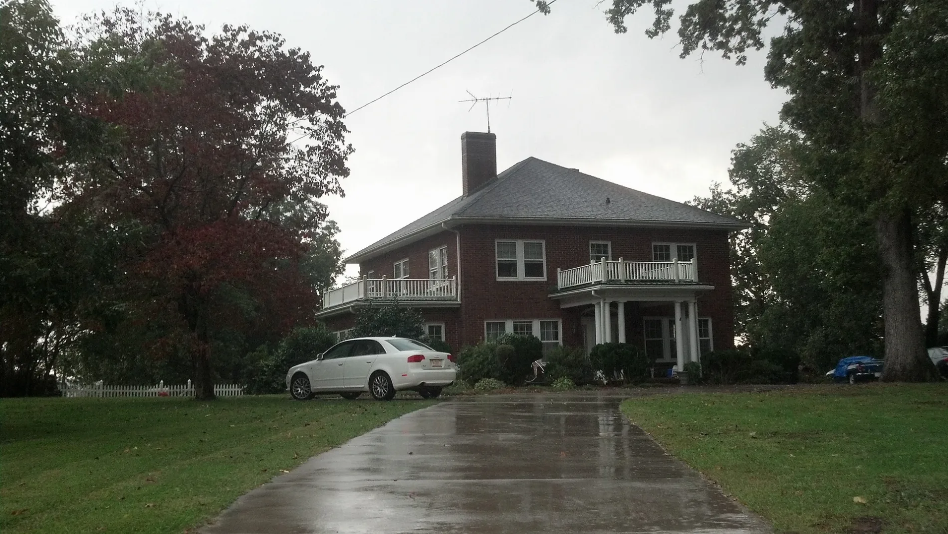
Streets nearby
Ridgewood Drive150 ft
Oakwood0.1 mi
Parker's Loop0.5 mi
Chinquapin Lane0.8 mi
Grampian RoadWest Rowan VFD St 67, United States Postal Service
0.8 mi
Relative Road1.0 mi
NC 801 HighwayMount Ulla
1.0 mi
Outback Lane1.0 mi
Umberger Road1.1 mi
Readsboro Drive1.1 mi
Amesbury Drive1.2 mi
Morrowfield Place1.2 mi
Jenkins Branch Lane1.2 mi
Martin Brook Lane1.2 mi
Hinsdale Avenue1.4 mi
Alfalfa Lane1.5 mi
Childers Road1.5 mi
Rankin Road1.5 mi
French Belk Road1.5 mi
Back Creek Church RoadWest Rowan VFD St 68, Back Creek Church
1.5 mi
Bellingshire Drive1.6 mi
Brown RoadFive Forks, Immanuel Church
1.7 mi
Lenoxdale Drive1.7 mi
Cemetery Church Road1.7 mi
Coltsville Drive1.8 mi
Amity Hill RoadKnox Chapel
1.8 mi
Blaze Drive1.9 mi
Mount Tabor Church RoadSmiths Chapel
1.9 mi
Torrington Drive1.9 mi
Hidden Hollow Drive1.9 mi
Edmiston Road1.9 mi
Lynnette Drive1.9 mi
Cool Creek Lane2.0 mi
Willowstone Lane2.0 mi
Belk Road2.0 mi
Cranwell Drive2.0 mi
California Drive2.0 mi
Carlyle Knox Road2.0 mi
Joe Rankin Road2.0 mi
Worthington Drive2.0 mi
Centenary Church Road2.0 mi
Jones Road2.0 mi
Davidson Circle2.0 mi
Willow Stone Lane2.1 mi
Sloop Road2.2 mi
Thomas Lane2.2 mi
 Public transit map Rowan County Legend
 | Railway | |
| Bus | |
| Streetcar |
 Bicycle map Rowan County Legend
 | Bike path | |
| Bike lane on roadway | |
| Cycling allowed on bus lane | |
| Bicycle street | |
| Open to cyclists | |
| Open to cyclists, good path | |
| Cycling prohibited | |
| Cobblestone |
| Long-distance bike route | (depending on scale) | |
| Long-distance bike route |
 Pedestrian map Rowan County Legend
 | Path |
| Long-distance hiking trail | (depending on scale) | |
| Long-distance hiking trail | ||
| Pedestrians prohibited |