
Cemetery Church Road in Mount Ulla, NC 28125
Cemetery Church Road in Mount Ulla, NC 28125 (Rowan County) is a residential street. It runs in an east-west direction starting from Back Creek Church Road and ends at Brown Road.
- Road Type
- residential street
- Route
- east-west
Image
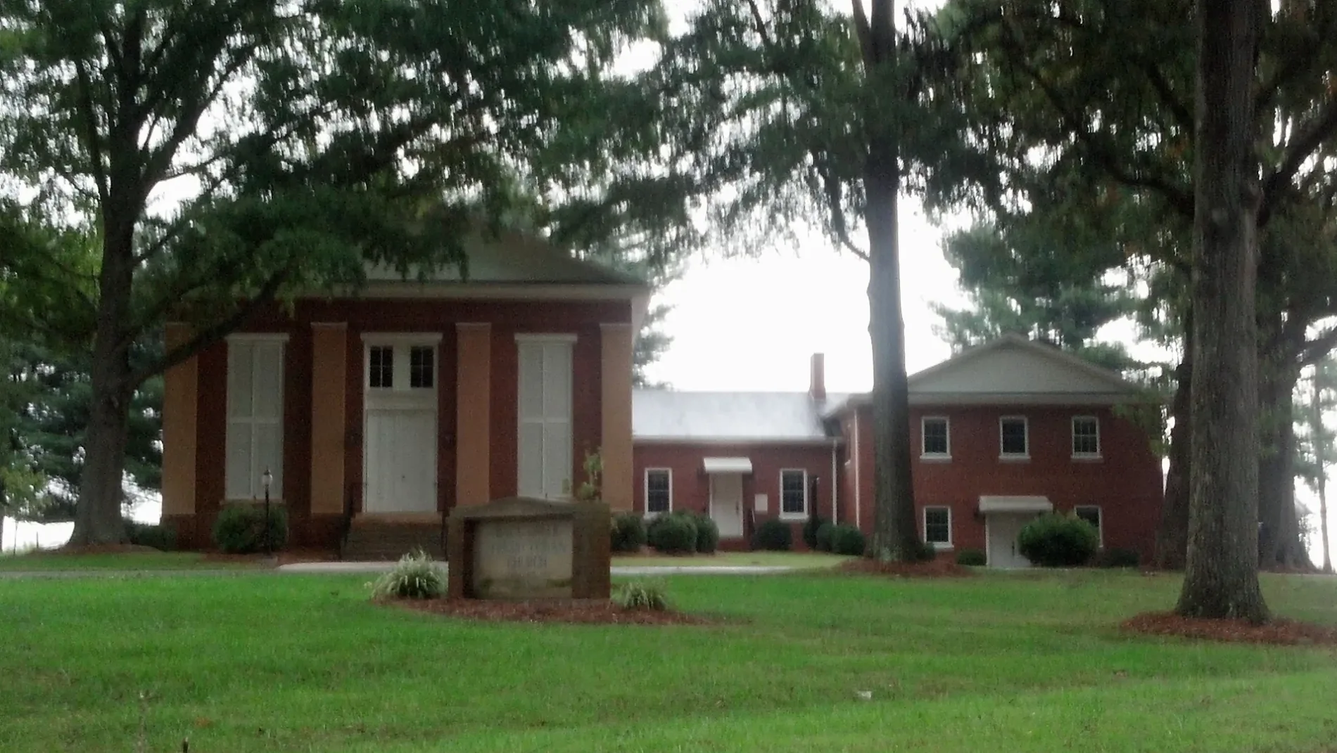
Streets nearby
Carlyle Knox Road0.3 mi
Hinsdale Avenue0.6 mi
Brown RoadFive Forks, Immanuel Church
0.6 mi
Bellingshire Drive0.8 mi
Lenoxdale Drive0.8 mi
Outback Lane0.8 mi
Amesbury Drive0.8 mi
Readsboro Drive0.9 mi
Coltsville Drive0.9 mi
Graham Loop Road1.0 mi
Cranwell Drive1.1 mi
Torrington Drive1.1 mi
Graham Woods Drive1.2 mi
NC 801 HighwayMount Ulla
1.2 mi
Worthington Drive1.2 mi
Butternut Court1.2 mi
Grampian RoadWest Rowan VFD St 67, United States Postal Service
1.3 mi
Back Creek Church RoadWest Rowan VFD St 68, Back Creek Church
1.3 mi
Hoof Print Trail1.4 mi
Umberger Road1.5 mi
Hidden Hollow Drive1.7 mi
Ridgewood Drive1.7 mi
McNeely Road1.7 mi
Cedar Tree Circle1.7 mi
Oakwood1.7 mi
Owen Drive1.8 mi
Graham RoadBear Poplar, West Rowan VFD St 66
1.8 mi
Jones Road1.9 mi
Lipe Road1.9 mi
Upright Road2.0 mi
Parker's Loop2.0 mi
Centenary Church Road2.0 mi
Hall Road2.0 mi
Mooresville RoadSaint Marks Church, Sunoco, Nitrogen, Raja Mart, Country Store, Landmark Church
2.1 mi
Old Gin Road2.2 mi
Maple Springs Lane2.2 mi
Belk Road2.3 mi
Joe Rankin Road2.3 mi
Chinquapin Lane2.3 mi
California Drive2.3 mi
Davidson Circle2.4 mi
Corriher Grange Road2.4 mi
Bradshaw RoadSills Church
2.5 mi
Bailey Court2.5 mi
Cline Road2.8 mi
 Public transit map Rowan County Legend
| Railway | |
| Bus | |
| Streetcar |
 Bicycle map Rowan County Legend
| Bike path | |
| Bike lane on roadway | |
| Cycling allowed on bus lane | |
| Bicycle street | |
| Open to cyclists | |
| Open to cyclists, good path | |
| Cycling prohibited | |
| Cobblestone |
| Long-distance bike route | (depending on scale) | |
| Long-distance bike route |
 Pedestrian map Rowan County Legend
| Path |
| Long-distance hiking trail | (depending on scale) | |
| Long-distance hiking trail | ||
| Pedestrians prohibited |