
Cross Pointe Lane in Holly Springs, North Carolina
Cross Pointe Lane in Holly Springs is a residential street. It runs in an east-west direction starting from Douglas Street and crosses Park Place Way and Cliffdale and ends at Burt Street. Cross Pointe Lane also exists in Moore County.
- Road Type
- residential street
- Route
- east-west
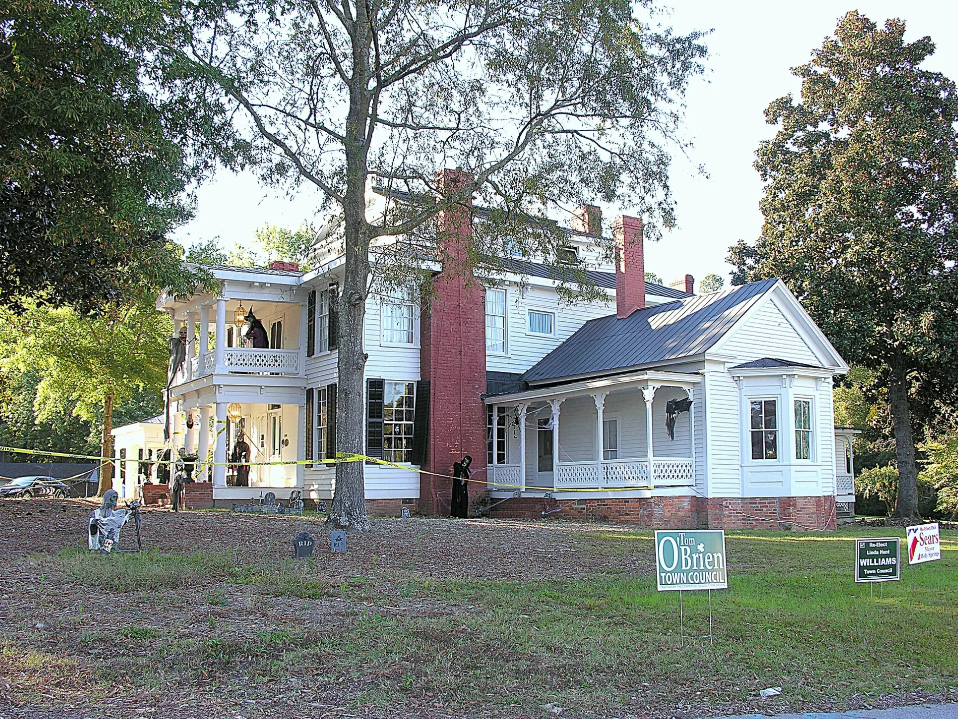
Image
Pharmacies
Cafes
Bus stops
Bookstores
Restaurants
Fast food restaurants
Mailboxes
Vending machines
Self storages
Streets nearby
Park Place Way200 ft
Dutch Hill Road350 ft
Douglas Street450 ft
Cliffdale450 ft
Burt Street0.1 mi
Earp StreetBass Lake Draft House
0.1 mi
Bottle Neck Trail0.1 mi
Clay Ridge Way0.1 mi
Select Court0.2 mi
West Ballentine Street0.2 mi
Rose Hill Drive0.2 mi
Blalock Street0.2 mi
Onondaga Court0.2 mi
Porcino Lane0.2 mi
Utley Creek Greenway0.2 mi
Stagsden Court0.2 mi
Tullich Way0.2 mi
Roundview Court0.3 mi
Crabwall Court0.3 mi
Stonehedge Court0.3 mi
West Holly Springs RoadWalgreens, Little Caesars, Rite Aid
0.3 mi
West Earp Street0.3 mi
Hollyberry Lane0.3 mi
3rd StreetUSPS, Mi Cancun
0.3 mi
Ash Court0.3 mi
Alford StreetBlue Rhino
0.4 mi
Hallwood Court0.4 mi
Avent Ferry RoadSheetz
0.4 mi
Holly Springs RoadDollar Tree, Harris Teeter Fuel Center, Wells Fargo, The Original NY Pizza, China Best, Nail Experts, The UPS Store, Supercuts, Holly Springs Eye Associates, Village Cleaners
0.4 mi
Quantum Drive0.4 mi
North Main StreetHolly Springs, Holly Springs Veterinary Hospital
0.4 mi
West Ballentine Road0.4 mi
Center Street0.5 mi
South Main StreetMain Street & Center Street, Osha Thai Kitchen & Sushi
0.5 mi
Auto repair shops nearby
NC Inspection Center0.4 mi
Drugstores nearby
Rite Aid0.4 mi
Walgreens0.4 mi
Forests nearby
Mims Park Nature Trails0.3 mi
Government buildings nearby
Holly Springs Community Library and Cultural Center0.4 mi
Libraries nearby
Holly Springs Community Library0.4 mi
Post offices nearby
United States Post Office0.3 mi
Residential areas nearby
Cross Pointe Village500 ft
Avent Glen0.2 mi
Oaks at Avent Acres0.2 mi
Savannah Place0.2 mi
Oak Hall0.4 mi
Retail areas nearby
Oak Hall Shopping Center0.4 mi
Streams nearby
Utley Creek0.2 mi
Town halls nearby
Holly Springs Town Hall0.5 mi
Public transit map Holly Springs Legend
| Railway | |
| Bus | |
| Streetcar |
Bicycle map Holly Springs Legend
| Bike path | |
| Bike lane on roadway | |
| Cycling allowed on bus lane | |
| Bicycle street | |
| Open to cyclists | |
| Open to cyclists, good path | |
| Cycling prohibited | |
| Cobblestone |
| Long-distance bike route | (depending on scale) | |
| Long-distance bike route |
Pedestrian map Holly Springs Legend
| Path |
| Long-distance hiking trail | (depending on scale) | |
| Long-distance hiking trail | ||
| Pedestrians prohibited |