
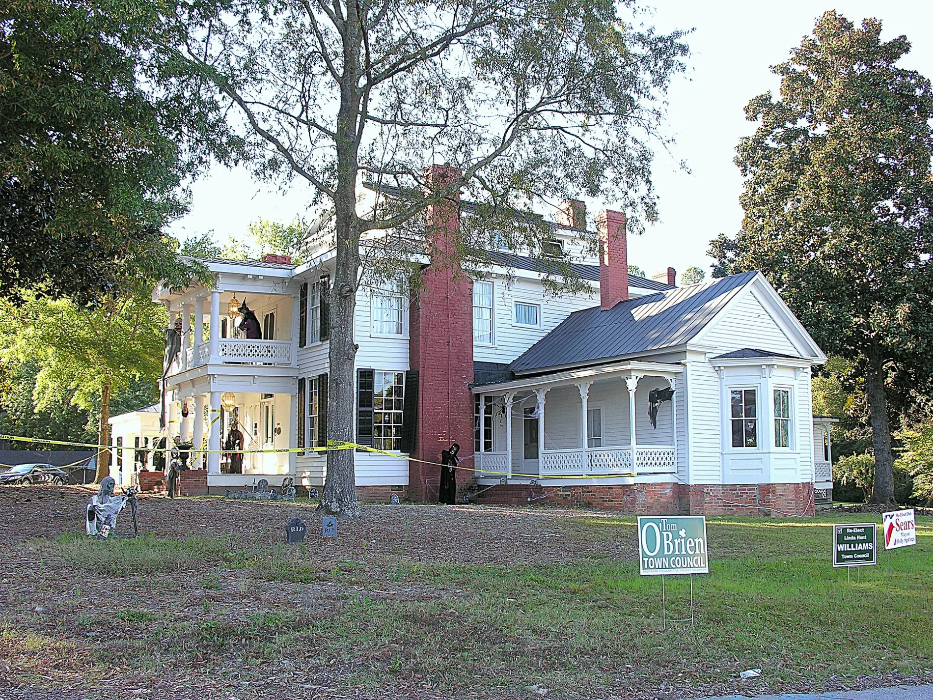
North Main Street in Holly Springs, North Carolina
North Main Street in Holly Springs is a three-lane, asphalted main road. It runs in a north-south direction and crosses Steedmont Drive, Oakhall Drive, Springstone Drive, Cayman Avenue, Quantum Drive, Sportsmanship Way, Anchor Creek Way, Trellis Point Drive, Easton Street, Arbor Creek Drive, Katha Drive and Hyannis Drive. Nearby there is among others a veterinary clinic. The nearest stop is Main Street & Center Street (about 150 m away). North Main Street also exists in Wake Forest, Rolesville and Wendell.
- Road Type
- main road
- Lanes
- 3
- Speed Limit
- 25 mph
- Route
- north-south
Image
Veterinary clinics
Streets nearby
Center Street300 ft
Avent Ferry RoadSheetz
300 ft
South Main StreetMain Street & Center Street, Osha Thai Kitchen & Sushi
550 ft
West Earp Street0.1 mi
Alford StreetBlue Rhino
0.1 mi
Vista Spring Circle0.1 mi
West Ballentine Road0.2 mi
Raleigh StreetFable Books and Café
0.2 mi
Collins Street0.2 mi
West Ballentine Street0.2 mi
Holly Springs RoadDollar Tree, Harris Teeter Fuel Center, Wells Fargo, The Original NY Pizza, China Best, Nail Experts, The UPS Store, Supercuts, Holly Springs Eye Associates, Village Cleaners
0.2 mi
Steeple Road0.2 mi
Rogers StreetBep Vietnamese Kitchen
0.2 mi
West Holly Springs RoadWalgreens, Little Caesars, Rite Aid
0.2 mi
Thornwall Court0.3 mi
Grigsby Avenue0.3 mi
Holly Pines Court0.3 mi
Roundabout Road0.3 mi
Blalock Street0.3 mi
Cabrita Court0.3 mi
St John Court0.3 mi
Holliday Court0.3 mi
Brooks Street0.3 mi
Johnson Street0.3 mi
3rd StreetUSPS, Mi Cancun
0.4 mi
Holly Acres Road0.4 mi
Trinidad Court0.4 mi
Timber Springs Court0.4 mi
St Kitts Court0.4 mi
Quantum Drive0.5 mi
School Way Drive0.5 mi
Holly Springs Greenway0.5 mi
St Lucia Court0.5 mi
Auto repair shops nearby
NC Inspection Center100 ft
Buildings nearby
Windward Pointe Pool0.3 mi
Drugstores nearby
Rite Aid0.2 mi
Walgreens0.3 mi
Forests nearby
Mims Park Nature Trails0.1 mi
Government buildings nearby
Holly Springs Community Library and Cultural Center0.2 mi
Ice cream shops nearby
Fresh Local Ice Cream0.2 mi
Libraries nearby
Holly Springs Community Library0.2 mi
Parks nearby
W. E. Jones Park0.5 mi
Post offices nearby
United States Post Office0.4 mi
Residential areas nearby
Remington0.2 mi
Holly Acres0.2 mi
Glenwood0.3 mi
Savannah Place0.3 mi
School buildings nearby
Holly Springs Elementary0.5 mi
Town halls nearby
Holly Springs Town Hall0.1 mi
Public transit map Holly Springs Legend
| Railway | |
| Bus | |
| Streetcar |
Bicycle map Holly Springs Legend
| Bike path | |
| Bike lane on roadway | |
| Cycling allowed on bus lane | |
| Bicycle street | |
| Open to cyclists | |
| Open to cyclists, good path | |
| Cycling prohibited | |
| Cobblestone |
| Long-distance bike route | (depending on scale) | |
| Long-distance bike route |
Pedestrian map Holly Springs Legend
| Path |
| Long-distance hiking trail | (depending on scale) | |
| Long-distance hiking trail | ||
| Pedestrians prohibited |