
Vista Spring Circle in Holly Springs, North Carolina
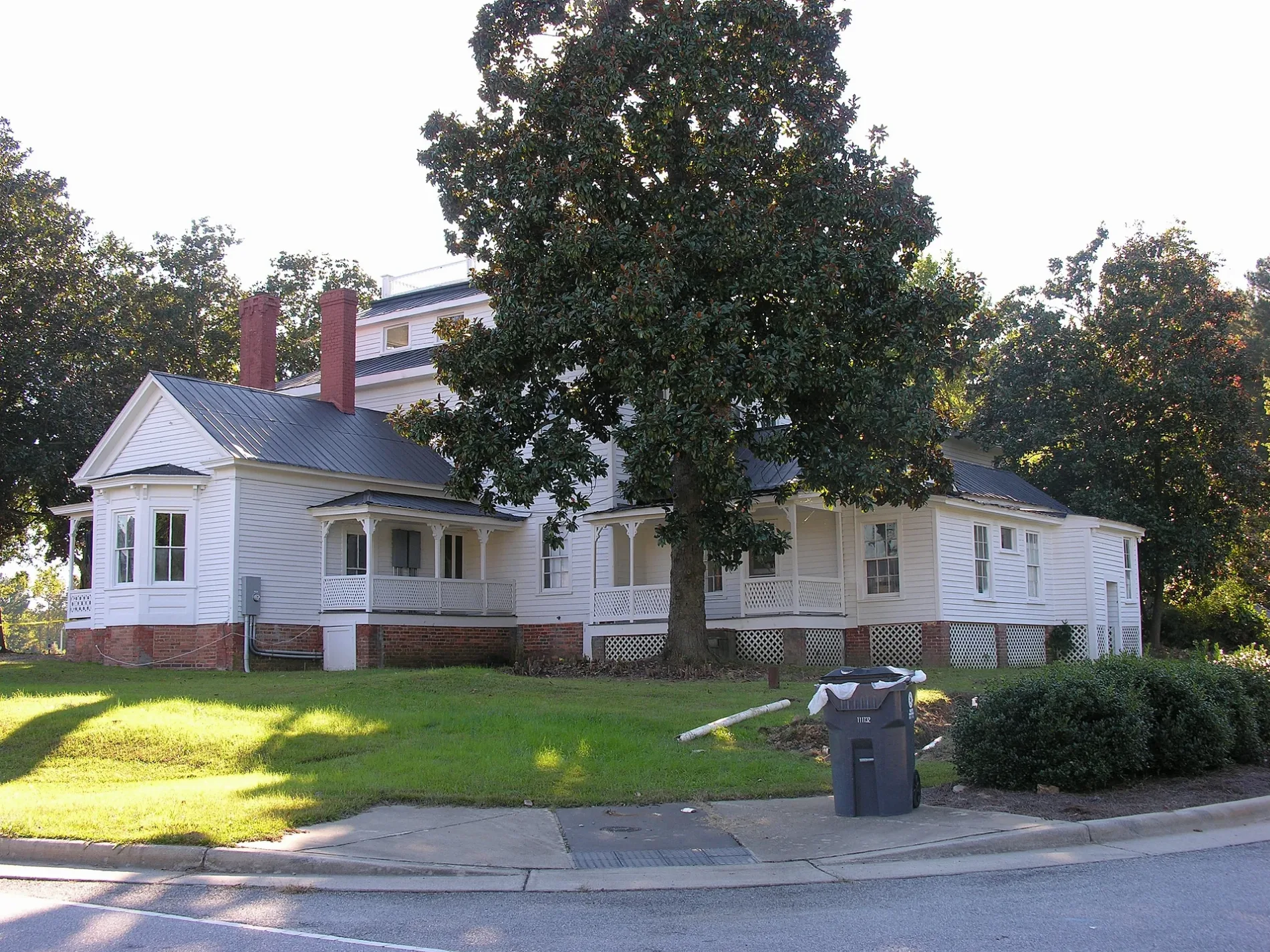
Vista Spring Circle in Holly Springs is a residential street and runs in a north-south direction starting from Steeple Road and ends in a cul-de-sac.
- Road Type
- residential street
- Speed Limit
- 20 mph
- Route
- north-south
Image
Fast food restaurants
Vending machines
Opticians
Beauty salons
Auto repair shops
Restaurants
Supermarkets
Pharmacies
Bus stops
Bookstores
Dry cleaners
Hair salons
Mailboxes
Streets nearby
Raleigh StreetFable Books and Café
450 ft
Center Street500 ft
South Main StreetMain Street & Center Street, Osha Thai Kitchen & Sushi
0.1 mi
Steeple Road0.1 mi
Thornwall Court0.1 mi
North Main StreetHolly Springs, Holly Springs Veterinary Hospital
0.1 mi
Grigsby Avenue0.2 mi
West Ballentine Road0.2 mi
Roundabout Road0.2 mi
Holly Pines Court0.2 mi
Rogers StreetBep Vietnamese Kitchen
0.2 mi
Red Feather Court0.2 mi
Avent Ferry RoadSheetz
0.2 mi
Lee Street0.2 mi
Collins Street0.2 mi
Oak Avenue0.2 mi
West Ballentine Street0.2 mi
Holliday Court0.2 mi
Brooks Street0.3 mi
Alford StreetBlue Rhino
0.3 mi
West Earp Street0.3 mi
Turner Street0.3 mi
Wolfbridge Road0.3 mi
East Elm Street0.3 mi
Baygall Road0.3 mi
Avent Circle0.3 mi
East Pine Avenue0.4 mi
Pine Avenue0.4 mi
Springsdale Drive0.4 mi
Springside Drive0.4 mi
East Hickory Avenue0.4 mi
Hickory Avenue0.4 mi
Uphill Court0.4 mi
East Maple Avenue0.4 mi
Utley Avenue0.4 mi
Auto repair shops nearby
NC Inspection Center0.1 mi
Fitness centers nearby
W.E. Hunt Recreation Center0.3 mi
Forests nearby
Mims Park Nature Trails0.2 mi
Government buildings nearby
Holly Springs Community Library and Cultural Center0.2 mi
Ice cream shops nearby
Fresh Local Ice Cream0.1 mi
Libraries nearby
Holly Springs Community Library0.2 mi
Recreation grounds nearby
The Pit0.3 mi
Residential areas nearby
Remington300 ft
Holly Acres0.1 mi
Whitney Village0.2 mi
Holly Heights0.4 mi
Avent Acres0.4 mi
Lakeside Commons0.4 mi
Town halls nearby
Holly Springs Town Hall0.1 mi
 Public transit map Holly Springs Legend
| Railway | |
| Bus | |
| Streetcar |
 Bicycle map Holly Springs Legend
| Bike path | |
| Bike lane on roadway | |
| Cycling allowed on bus lane | |
| Bicycle street | |
| Open to cyclists | |
| Open to cyclists, good path | |
| Cycling prohibited | |
| Cobblestone |
| Long-distance bike route | (depending on scale) | |
| Long-distance bike route |
 Pedestrian map Holly Springs Legend
| Path |
| Long-distance hiking trail | (depending on scale) | |
| Long-distance hiking trail | ||
| Pedestrians prohibited |