
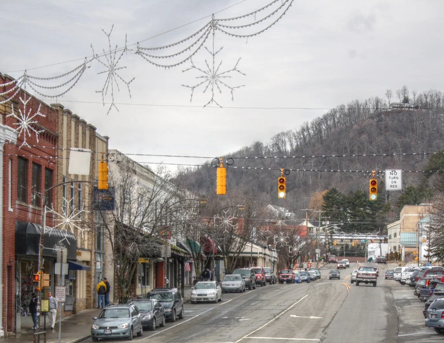
Orchard Street in Boone, North Carolina
Orchard Street in Boone is a two-lane, asphalted residential street. It runs in an east-west direction starting from Grand Boulevard and crosses Iris Lane and ends at Wallace Circle. Orchard Street also exists in Anson County, Buncombe County, Caldwell County, Durham County and Guilford County.
- Road Type
- residential street
- Lanes
- 2
- Speed Limit
- 25 mph
- Route
- east-west
Image
Artworks
Fast food restaurants
Cannabis dispensaries
Places of worship
Chocolate shops
Post offices
Restaurants
Tattoo studios
Galleries
- Hands Gallery (opening hours: Mon–Sun 11–18; Holiday closed, Web) at West King Street 543 (28607) – approx. 0.2 mi.
Kindergartens
Supermarkets
Clothing stores
Cafes
Pastry shops
Pharmacies
Bus stops
Streets nearby
Westridge Lane150 ft
Iris Lane350 ft
Wallace Circle500 ft
West King StreetNoble Tattoos & Piercings, Grandpa Joe's, Sabeing, Charleston Hemp Collective, The Magic Mailbox, Tetness, the Polar Bear, El Tacorriendo, Earth Fare, Boone Drug at King Street Fountain & Grill, Miller Industries, Human Services Center, Pinnacle Drive, High County Condos, Edgecliff Lane, Hands Gallery, Lililu on King, Appalachian Sportswear, Venture Chocolate and Wine, Highway Robbery, Boone Belles, The Social, Vidalia Restaurant & Wine Bar, Watauga County Courthouse, Ram's Rack, Water Street / King Street, Off the Rack, Common Good Co, Mountain Running Company, Lucky Penny, Shear Shakti, Care Collective, The Nthº Gallery & Studios, Village Jewellers, High Country Souvenir, Watsonatta Western World, Ellison, Future Relics, Elevated Piercing, South End Brewing Co., Come Back Shack, Ben & Jerry's, The Shoppes at Farmers, Alumni Hall, Famous Toastery, King Street / North Depot Street, F.A.R.M. Cafe, Appalachian Antique Mall, The Happy Place, Betty's Biscuits, Dan'l Boone Inn
0.1 mi
Campus Ridge Drive0.1 mi
Eastbrook Drive0.1 mi
Cherrybrook Lane0.1 mi
Cherry Drive0.1 mi
Westbrook Drive0.2 mi
College StreetWired Scholar, The Market at the Campus Store
0.2 mi
Grand Boulevard0.2 mi
Evergreen Lane0.2 mi
Hamby Alley0.2 mi
Howard StreetUniversity Post Office, Lucy Brock Child Development Center, Footsloggers, Doc and Merle Watson, Howard Street / Hardin Street, Dan'l Boone Inn Restaurant
0.2 mi
Tremont Street0.2 mi
Coffey Street0.3 mi
Westbrook Street0.3 mi
Councill Street0.3 mi
Bear Trail0.3 mi
Hunting Road0.3 mi
Edgewood Drive0.3 mi
Hardin StreetGE WattStation, ASU Dogwood Hall, Hardin Street Crosswalk, Appalachian State University
0.3 mi
Glendale Drive0.3 mi
Eastview Avenue0.3 mi
Apartment buildings nearby
Orchard Place0.1 mi
494 Lofts0.1 mi
King Street Flats0.1 mi
Artworks nearby
Transit Candy0.1 mi
Auto repair shops nearby
Bill's Garage0.3 mi
Buildings nearby
Lutheran Students of Appalachian - Councill House0.3 mi
Florists nearby
King St Flowers and Gifts0.1 mi
Gardens nearby
Appalachian Roots Garden0.3 mi
Gift shops nearby
Mountaineer Mania0.1 mi
Guest houses nearby
White Fence Farm Downtown0.2 mi
Ice cream shops nearby
blue deer on king0.1 mi
Liquor stores nearby
Blue's Brews0.1 mi
Parks nearby
Junaluska City Park0.2 mi
Arborcrest Gardens0.3 mi
Places of worship nearby
The Appalachian Wesley Foundation0.2 mi
First Baptist Church0.2 mi
Advent Christian Church0.2 mi
Saint Luke's Episcopal Church0.3 mi
CrossPoint Community Church0.3 mi
Restaurants nearby
Wild Craft Eatery0.1 mi
Boone Bagelry0.1 mi
Universities nearby
Turchin Center for the Visual Arts0.1 mi
University buildings nearby
Reich College of Education0.2 mi
Howard Street Hall & Lucy Brock Child Development Center0.2 mi
Variety stores nearby
The Outdoorsman0.2 mi
 Public transit map Boone Legend
| Railway | |
| Bus | |
| Streetcar |
 Bicycle map Boone Legend
| Bike path | |
| Bike lane on roadway | |
| Cycling allowed on bus lane | |
| Bicycle street | |
| Open to cyclists | |
| Open to cyclists, good path | |
| Cycling prohibited | |
| Cobblestone |
| Long-distance bike route | (depending on scale) | |
| Long-distance bike route |
 Pedestrian map Boone Legend
| Path |
| Long-distance hiking trail | (depending on scale) | |
| Long-distance hiking trail | ||
| Pedestrians prohibited |