
South 9th Avenue West in Dickinson, North Dakota
South 9th Avenue West in Dickinson is a residential street. It runs in a north-south direction starting from 9th Avenue West and crosses West Villard Street. It ends in a cul-de-sac.
- Road Type
- residential street
- Route
- north-south
Image
Fast food restaurants
Hotels
Massage therapy clinics
Hair salons
Drugstores
Banks
Convenience stores
Dance schools
Bars
Fire stations
Car dealerships
Places of worship
Beverage stores
Pharmacies
Dentist offices
Game stores
Streets nearby
9th Avenue West400 ft
South 10th Avenue West450 ft
South 8th Avenue West500 ft
8th Avenue West0.1 mi
10th Avenue West0.1 mi
South 11th Avenue West0.1 mi
West Broadway Street0.1 mi
South 7th Avenue West0.2 mi
1st Street WestCharbonneau Chrysler Center, Charbonneau Car Center, Academy of Dance, Bible Baptist Chuch of Dickinson, Heiser Motors, Kinderkitz, The Hive, Ichiban Ramen, Stevenson Funeral Home, Doller General
0.2 mi
11th Avenue West0.2 mi
West 2nd StreetSaint Patricks Roman Catholic Church, U.S. Bank
0.2 mi
7th Avenue West0.3 mi
Delong Place0.3 mi
5th Avenue West0.3 mi
6th Avenue WestRunnings
0.3 mi
Campus Drive0.3 mi
West 3rd StreetMiracle-Ear, TS Therapeutic Massage, Dickinson Area Public Library
0.3 mi
1st Street Southwest0.3 mi
3rd Avenue Southwest0.3 mi
4th Avenue West0.4 mi
2nd Street Southwest0.4 mi
South 3rd Avenue West0.4 mi
Main Avenue0.4 mi
Southwest 3rd Street0.4 mi
3rd Avenue WestSimonson Station Stores
0.4 mi
1st Avenue Southwest0.4 mi
2nd Avenue Southwest0.4 mi
Bonnie Street0.4 mi
Anna Street0.5 mi
4th Avenue Southwest0.5 mi
Art galleries nearby
Roses in the rain0.2 mi
Bakeries nearby
Portillo’s Bakery350 ft
Buildings nearby
Phat Fish Brewing0.1 mi
American Concrete Repair LLC0.3 mi
Cafes nearby
Good Humanity Coffee0.2 mi
Commercial buildings nearby
Jeff's Towing and Automotive550 ft
Sax Customs0.4 mi
Dormitories nearby
Selke Hall0.3 mi
Fast food restaurants nearby
Donut Hole350 ft
Motorcycle shops nearby
05 Motorsports0.1 mi
Places of worship nearby
Saint Johns Lutheran Church0.3 mi
Railways nearby
BNSF Dickinson Subdivision0.3 mi
Shelters nearby
King's Pavilion0.3 mi
Shopping malls nearby
American West Plaxa0.4 mi
University buildings nearby
Klinefelter Hall0.3 mi
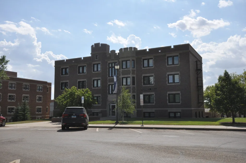
Stickney Hall0.3 mi
Scott Gymnasium0.3 mi
Student Center0.3 mi
Vape shops nearby
Vapes400 ft
Public transit map Dickinson Legend
| Railway | |
| Bus | |
| Streetcar |
Bicycle map Dickinson Legend
| Bike path | |
| Bike lane on roadway | |
| Cycling allowed on bus lane | |
| Bicycle street | |
| Open to cyclists | |
| Open to cyclists, good path | |
| Cycling prohibited | |
| Cobblestone |
| Long-distance bike route | (depending on scale) | |
| Long-distance bike route |
Pedestrian map Dickinson Legend
| Path |
| Long-distance hiking trail | (depending on scale) | |
| Long-distance hiking trail | ||
| Pedestrians prohibited |