
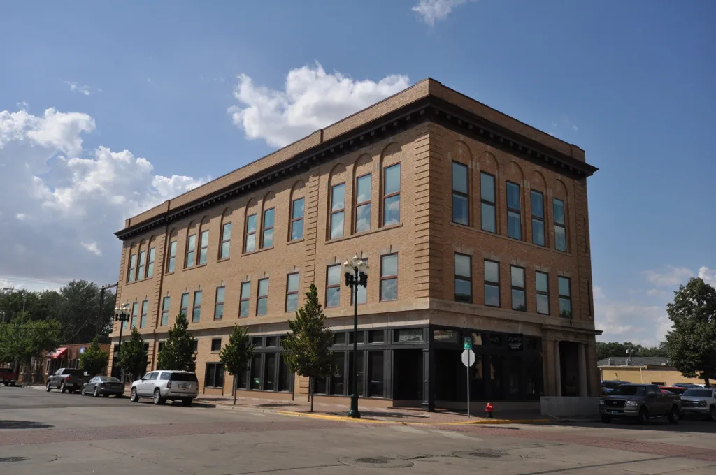
West Villard Street in Dickinson, North Dakota
West Villard Street in Dickinson is a three-lane, asphalted main road (Road number I 94 Business). It runs in an east-west direction starting from Villard Street West and crosses South State Avenue, State Avenue North, Hollywood Boulevard, South Hollywood Boulevard, College Avenue, South College Avenue, 13th Avenue West, 12th Avenue West, 11th Avenue West, South 11th Avenue West and 10th Avenue West. It ends in a cul-de-sac. This street is part of the highways 94 and 22. Nearby you can find among others 3 fast food restaurants, 3 banks, 2 restaurants and 2 convenience stores.
- Road Type
- main road
- Lanes
- 3
- Route
- east-west
Image
Restaurants
Computer stores
Dentist offices
Pharmacies
Hotels
Fast food restaurants
Convenience stores
Hair salons
Massage therapy clinics
Variety stores
Banks
Frame shops
Pet stores
Game stores
Beverage stores
Bars
Streets nearby
South 3rd Avenue West400 ft
3rd Avenue WestSimonson Station Stores
0.1 mi
West 2nd StreetU.S. Bank, Saint Patricks Roman Catholic Church
0.1 mi
Main Avenue0.2 mi
4th Avenue West0.2 mi
2nd Avenue Westde Porres House of Barbering, Dickinson Fire Station 1, Kinderkidz Learning Center
0.2 mi
1st Avenue WestLemongrass, Kirkwood Bank and Trust, Bravera Bank
0.2 mi
5th Avenue West0.2 mi
East Villard StreetGG Taco, Godfather's Pizza
0.2 mi
West 3rd StreetMiracle-Ear, TS Therapeutic Massage, Dickinson Area Public Library
0.2 mi
Sims StreetRedeemer Lutheran Church, Holiday Inn Express, Candlewood Suites
0.2 mi
2nd Avenue Southeast0.2 mi
1st Avenue EastAffinity on First
0.3 mi
3rd Avenue Southeast0.3 mi
East Broadway Street0.3 mi
Southeast 1st Street0.3 mi
1st Avenue Southeast0.3 mi
4th Avenue Southeast0.3 mi
6th Avenue WestRunnings
0.3 mi
1st Street Southwest0.3 mi
South 7th Avenue West0.3 mi
South Main Avenue0.3 mi
1st Avenue Southwest0.4 mi
7th Avenue West0.4 mi
2nd Street Southeast0.4 mi
2nd Street Southwest0.4 mi
Southeast 3rd Street0.4 mi
3rd Avenue Southwest0.4 mi
4th Avenue Southwest0.4 mi
2nd Avenue Southwest0.5 mi
Southwest 3rd Street0.5 mi
Southeast 4th Street0.5 mi
Bonnie Street0.5 mi
Apartment buildings nearby
Lily Pad Apartments0.2 mi
Art galleries nearby
Roses in the rain0.3 mi
Buildings nearby
Grace Reformed Church0.2 mi
Kubik Bogner Ridl & Selinger Law Office0.3 mi
American Concrete Repair LLC0.3 mi
Commercial buildings nearby
Sax Customs450 ft
Motorcycle shops nearby
05 Motorsports0.4 mi
Office buildings nearby
Life Building0.2 mi
Places of worship nearby
Saint Johns Episcopal Church0.2 mi
Saint Josephs Roman Catholic Church0.2 mi
Saint Johns Lutheran Church0.3 mi
Post offices nearby
Dickinson Post Office0.2 mi
Railways nearby
BNSF Dickinson Subdivision0.1 mi
Shopping malls nearby
American West Plaxa0.1 mi
Stadiums nearby
Dakota Community Bank & Trust Ballpark0.4 mi
Other nearby
Broadway Substation0.2 mi
 Public transit map Dickinson Legend
| Railway | |
| Bus | |
| Streetcar |
 Bicycle map Dickinson Legend
| Bike path | |
| Bike lane on roadway | |
| Cycling allowed on bus lane | |
| Bicycle street | |
| Open to cyclists | |
| Open to cyclists, good path | |
| Cycling prohibited | |
| Cobblestone |
| Long-distance bike route | (depending on scale) | |
| Long-distance bike route |
 Pedestrian map Dickinson Legend
| Path |
| Long-distance hiking trail | (depending on scale) | |
| Long-distance hiking trail | ||
| Pedestrians prohibited |