
East 1st Street in Defiance, Ohio
East 1st Street in Defiance is an asphalted residential street. It runs in an east-west direction and crosses Auglaize Street, Summit Street, Seneca Street, East Street, Main Street and Prospect Street and ends at Timothy Street, while the other end is a cul-de-sac. East 1st Street also exists in Warren County, Montgomery County, Madison County, Clark County and Knox County.
- Road Type
- service road
- Route
- east-west
Image
Streets nearby
West 2nd StreetBloomfield's, Grace Episcopal Church
400 ft
East 2nd StreetTrinity United Methodist Church, La Jaliscience
0.1 mi
Summit Street0.1 mi
Kingsbury Lane0.1 mi
Auglaize StreetDefiance
0.2 mi
Seneca Street0.2 mi
East 3rd Street0.2 mi
Rout Lane0.2 mi
Jefferson Avenue0.2 mi
East Street0.2 mi
Romica Lane0.2 mi
East Front Street0.2 mi
West 3rd Street0.2 mi
Highland Street0.3 mi
Main Street0.3 mi
Court Street0.3 mi
Franklin Street0.3 mi
Wayne Avenue0.3 mi
Fort Street0.3 mi
Henry StreetFirst Pilgrim Holiness Church
0.3 mi
Emmett Street0.3 mi
Vine Street0.4 mi
Douglas Street0.4 mi
Maude Street0.4 mi
4th Street0.4 mi
Hopkins Street0.4 mi
Juliet Street0.4 mi
Riverside Avenue0.4 mi
Arabella StreetSaint Marys Catholic Church
0.5 mi
Clinton StreetNAPA Auto Parts, The Common Thread by PC Workshop
0.5 mi
Crowe Street0.5 mi
Washington AvenueDefiance Church of the Brethren, Saint Marys School
0.5 mi
Eppi Lane0.5 mi
Buildings nearby
Defiance Metal Products0.2 mi
Cemeteries nearby
Kahol Cemetery0.5 mi
Courthouses nearby
Defiance County Courthouse0.3 mi
Libraries nearby
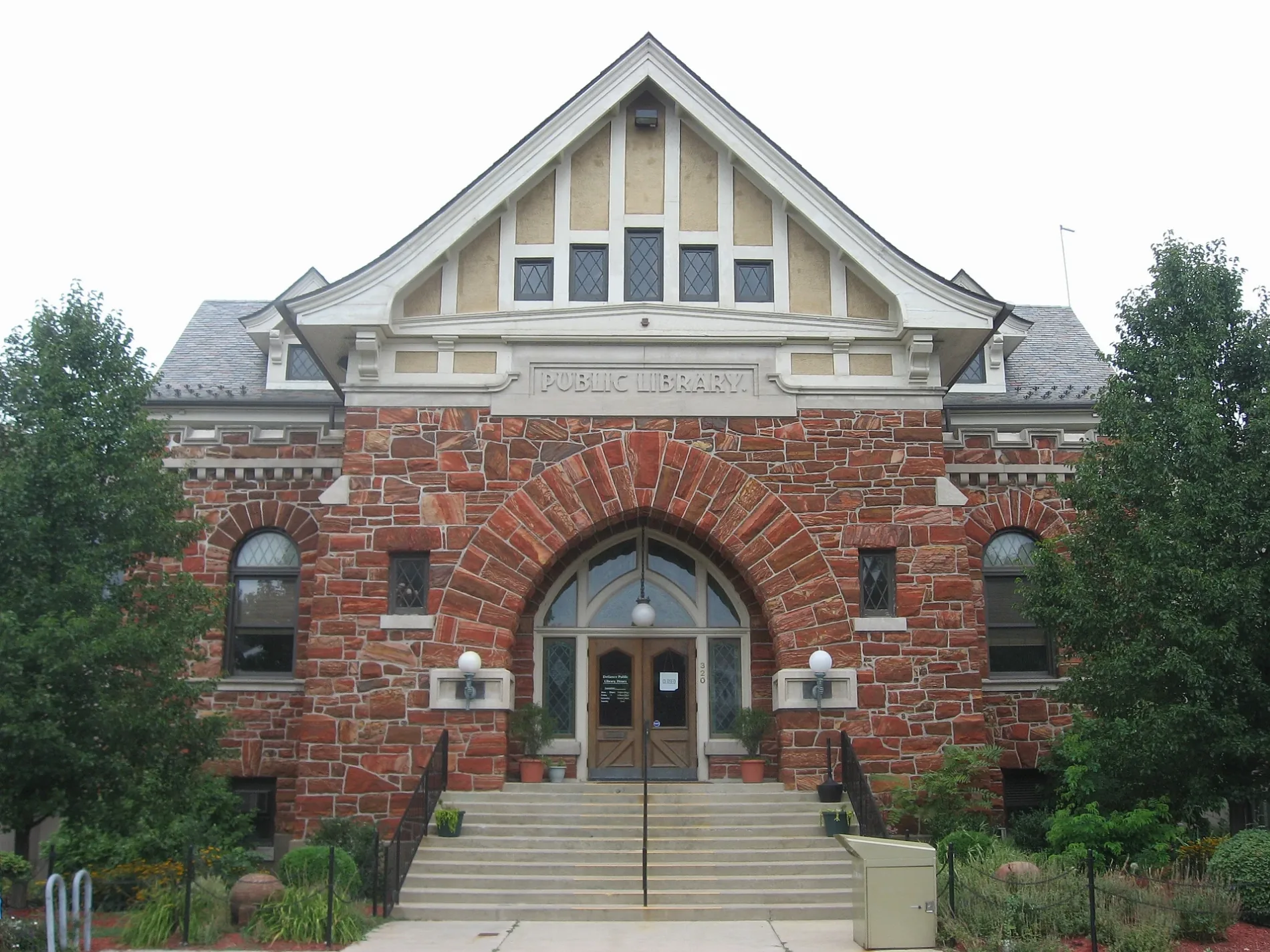
Defiance Public Library0.2 mi
Parks nearby
Kingsbury Park0.2 mi
Oldfort Defiance Park0.2 mi
Riverside Park0.5 mi
Places of worship nearby
First Presbyterian Church0.2 mi
First Assembly of God Church0.3 mi
Bethel Christian Assembly Church0.3 mi
Saint Pauls United Methodist Church0.3 mi
Saint John Lutheran Church0.4 mi
Post offices nearby
Defiance Post Office0.2 mi
Railways nearby
CSX Garrett Subdivision0.4 mi
Schools nearby
Saint Johns School0.4 mi
Sports centers nearby
Kingsbury Park Pool400 ft
Public transit map Defiance Legend
| Railway | |
| Bus | |
| Streetcar |
Bicycle map Defiance Legend
| Bike path | |
| Bike lane on roadway | |
| Cycling allowed on bus lane | |
| Bicycle street | |
| Open to cyclists | |
| Open to cyclists, good path | |
| Cycling prohibited | |
| Cobblestone |
| Long-distance bike route | (depending on scale) | |
| Long-distance bike route |
Pedestrian map Defiance Legend
| Path |
| Long-distance hiking trail | (depending on scale) | |
| Long-distance hiking trail | ||
| Pedestrians prohibited |