
Walnut Street in Noble Township, Ohio
Walnut Street in Defiance County is a residential street. It runs in a north-south direction starting from Gray Street and crosses Corwin Street and East Broadway Avenue and ends at East High Street. Walnut Street also exists in Warren County, Clermont County, Clinton County, Greene County and Montgomery County.
- Road Type
- residential street
- Route
- north-south
Image
Places of worship
Restaurants
Department stores
Convenience stores
Fast food restaurants
Supermarkets
Pharmacies
Gas stations
Ice cream shops
Cafes
Movie theaters
Recycling stations
Streets nearby
Southworth Street300 ft
East Broadway Avenue350 ft
Pearl Street350 ft
Gray Street0.1 mi
Neill Street0.2 mi
Fales Street0.2 mi
East River Drive0.2 mi
North Clinton StreetSpeedway, Marco's Pizza, Yamato's Steakhouse, Chipotle, Meijer, Williamstown
0.2 mi
Greer Street0.2 mi
Wabash Avenue0.2 mi
Clinton Street0.2 mi
Adams Street0.2 mi
East Sessions Street0.3 mi
Webster Street0.3 mi
East High Street0.3 mi
Corwin Street0.3 mi
Danforth Street0.3 mi
West Sessions Street0.3 mi
Gibson Street0.3 mi
Union Street0.3 mi
Fort Street0.3 mi
Nicholas Street0.3 mi
West River Drive0.3 mi
West First StreetVFW Post 3360
0.4 mi
Elliott Lane0.4 mi
Jefferson Avenue0.4 mi
College Place0.4 mi
Hilton AvenueCold Stone Creamery, Biggby Coffee
0.4 mi
Court Street0.4 mi
Washington AvenueDefiance Church of the Brethren, Saint Marys School
0.4 mi
College Drive0.4 mi
Summit Street0.4 mi
McMaster Place0.5 mi
Grand Avenue0.5 mi
Banks nearby
Fifth Third Bank0.3 mi
Courthouses nearby
Defiance County Courthouse0.4 mi
Fast food restaurants nearby
Subway0.4 mi
Libraries nearby
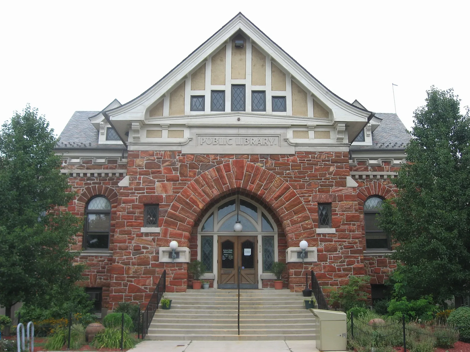
Defiance Public Library0.3 mi
Parks nearby
Pontiac Park0.3 mi
Oldfort Defiance Park0.3 mi
Kingsbury Park0.4 mi
Places of worship nearby
First Evangelical Methodist Church450 ft
Post offices nearby
Defiance Post Office0.4 mi
Sports centers nearby
Kingsbury Park Pool0.4 mi
Technical colleges nearby
McReynolds Hall0.3 mi
Defiance Hall0.3 mi
Whitney Hall0.3 mi
Schauffler Hall0.4 mi
Tenzer Hall0.4 mi
 Public transit map Noble Township Legend
| Railway | |
| Bus | |
| Streetcar |
 Bicycle map Noble Township Legend
| Bike path | |
| Bike lane on roadway | |
| Cycling allowed on bus lane | |
| Bicycle street | |
| Open to cyclists | |
| Open to cyclists, good path | |
| Cycling prohibited | |
| Cobblestone |
| Long-distance bike route | (depending on scale) | |
| Long-distance bike route |
 Pedestrian map Noble Township Legend
| Path |
| Long-distance hiking trail | (depending on scale) | |
| Long-distance hiking trail | ||
| Pedestrians prohibited |