
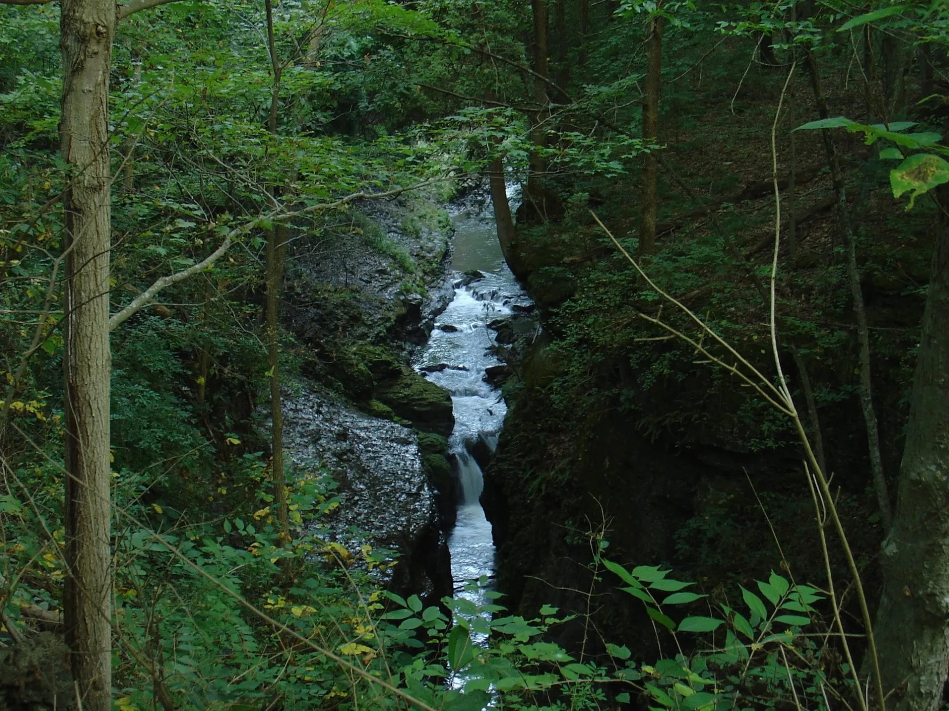
Little Miami River in Symmes Township, Hamilton County, Ohio
Little Miami River in Hamilton County is a river. Little Miami River is also known as Little Miami Scenic River. Little Miami River also exists in Anderson Township. Ⓦ.
- Alternate Name
- Little Miami Scenic River
- Waterway Type
- river
Image
Pharmacies
Frame shops
Florists
Fish markets
Drugstores
Self storages
Tourist information centers
Convenience stores
Antique stores
Auto repair shops
Hair salons
Cell phone stores
Opticians
Beauty salons
Cafes
Kitchen studios
Dentist offices
Butcher shops
Fast food restaurants
Clinics
Streets nearby
White Water Way0.2 mi
Hickory View Lane0.3 mi
Miami Woods Drive0.3 mi
Little Creek Lane0.3 mi
Dot Avenue0.3 mi
Big Oak Lane0.3 mi
Applegate Drive0.3 mi
Glendale Milford Road0.3 mi
Craig Lane0.3 mi
Miami Lakes Drive0.3 mi
May Street0.3 mi
Dot Street0.4 mi
Mildred Lane0.4 mi
Gilbert Lane0.4 mi
Helen Street0.4 mi
Crestview Lane0.4 mi
Miami Avenue0.4 mi
Cooper Street0.4 mi
Pinkvoss Lane0.5 mi
Singleton Alley0.5 mi
Milford Street0.5 mi
Belt Street0.5 mi
Little Miami Scenic Trail0.5 mi
Lincoln Road0.5 mi
Knicely Alley0.5 mi
Lee Way0.5 mi
Forest Avenue0.5 mi
Riverside Drive0.5 mi
Clark Street0.5 mi
Campbell Street0.5 mi
Brandon Avenue0.6 mi
Walters Alley0.6 mi
Center StreetMiamiville
0.6 mi
Oak Brook Place0.6 mi
Clement Street0.6 mi
Carriage WayMilford Independent Order of Oddfellows Cemetery
0.6 mi
Hudson Avenue0.6 mi
Ulrich Street0.6 mi
Carriage Way Trail0.6 mi
Cross Street0.7 mi
Apartment buildings nearby
1818-18290.5 mi
1930-19410.6 mi
Cemeteries nearby
Camp Dennison Cemetery0.4 mi
Nature reserves nearby
Grand Valley Preserve0.6 mi
Parks nearby
Camp Dennison Memorial Park0.4 mi
Carriage Way Park0.6 mi
Places of worship nearby
Mount Olive Baptist Church0.6 mi
Residential areas nearby
Miami Woods0.3 mi
Oakwood Apartments0.6 mi
| Length | 179 |
|---|---|
| Elevation | 144 m |
| Located in | Ohio |
| Country | United States |
| Mouth | Ohio River |
| Tributary | Clough Creek, Caesar Creek, Polk Run, East Fork Little Miami River, Massies Creek, Shawnee Creek |
| Described by | The New Student's Reference Work |
 Public transit map Symmes Township Legend
| Railway | |
| Bus | |
| Streetcar |
 Bicycle map Symmes Township Legend
| Bike path | |
| Bike lane on roadway | |
| Cycling allowed on bus lane | |
| Bicycle street | |
| Open to cyclists | |
| Open to cyclists, good path | |
| Cycling prohibited | |
| Cobblestone |
| Long-distance bike route | (depending on scale) | |
| Long-distance bike route |
 Pedestrian map Symmes Township Legend
| Path |
| Long-distance hiking trail | (depending on scale) | |
| Long-distance hiking trail | ||
| Pedestrians prohibited |