
Adams Street in Hillsboro, Ohio
Adams Street in Hillsboro is a residential street and it runs in a north-south direction starting from Monroe Street and ends in a cul-de-sac. Adams Street also exists in Greene County, Montgomery County, Hamilton County, Marion County and Coshocton County.
- Road Type
- residential street
- Route
- north-south
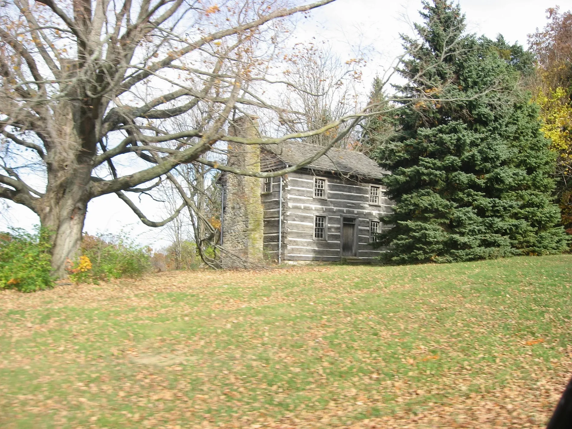
Image
Coffee shops
Gift shops
Banks
Libraries
Hair salons
Vape shops
Restaurants
Fast food restaurants
Laundries
Cafes
Ice cream shops
Clothing stores
Florists
Electronics stores
Courthouses
Schools
Thrift stores
Streets nearby
Monroe Street500 ft
Trenton Street500 ft
Barry Street0.1 mi
Hill Street0.1 mi
Baker Street0.2 mi
Key Street0.3 mi
East Main StreetEast Main Street Historic District, Merchants National Bank
0.3 mi
Marshall Pike0.3 mi
Bowers Avenue0.3 mi
Spruce StreetWorld's Largest Horseshoe Crab
0.3 mi
Belfast Pike0.4 mi
East Walnut StreetFrom Me to You
0.4 mi
Wellston Street0.4 mi
Johnson Street0.4 mi
East South Street0.4 mi
Chillicothe Avenue0.4 mi
Muntz Street0.5 mi
Bo-Wa-Ge Trail0.5 mi
Bell Street0.5 mi
East Pleasant Street0.6 mi
Bigelow Street0.6 mi
Elizabeth Drive0.6 mi
Conrad Street0.6 mi
Beekin Drive0.6 mi
East Lilley Avenue0.6 mi
South East Street0.6 mi
Greystone Drive0.6 mi
East Beech StreetCundiff's Flowers and Gifts
0.6 mi
East North StreetSubway
0.7 mi
Shops nearby
Meredith Chaney Muffler Exhaust Specialist0.3 mi
Buildings nearby
Highland County Engineer0.3 mi
Timber Lane Sports & Signs0.3 mi
Highland House0.6 mi
Peelle Law Offices0.6 mi
Clinics nearby
FRS Counseling0.4 mi
Community centers nearby
Senior Center0.6 mi
Doctor's offices nearby
West Chester Foot and Ankle Center0.4 mi
Fast food restaurants nearby
KFC0.4 mi
Funeral homes nearby
Thompson Funeral Home & Cremation Services0.5 mi
Edgington Funeral Home0.6 mi
Gas stations nearby
Sunoco0.3 mi
Marathon0.7 mi
Hair salons nearby
The Cutting Crew0.4 mi
Ice cream shops nearby
Buckeye Dairy Bar0.4 mi
Industrial buildings nearby
Pike Natural Gas Company0.3 mi
Office buildings nearby
Lewis Financial Group0.5 mi
East Main Professional Building0.6 mi
Pawn shops nearby
Hillsboro Pawn & Jewelry0.6 mi
Places of worship nearby
Saint Mary Catholic Church0.6 mi
Public transit map Hillsboro Legend
| Railway | |
| Bus | |
| Streetcar |
Bicycle map Hillsboro Legend
| Bike path | |
| Bike lane on roadway | |
| Cycling allowed on bus lane | |
| Bicycle street | |
| Open to cyclists | |
| Open to cyclists, good path | |
| Cycling prohibited | |
| Cobblestone |
| Long-distance bike route | (depending on scale) | |
| Long-distance bike route |
Pedestrian map Hillsboro Legend
| Path |
| Long-distance hiking trail | (depending on scale) | |
| Long-distance hiking trail | ||
| Pedestrians prohibited |