
Park Avenue in Upper Township, Ohio
Park Avenue in Lawrence County is a secondary road. It runs in a northeast-southwest direction and crosses South 9th Street, South 8th Street, South 7th Street, South 6th Street, South 5th Street, South 4th Street, South 3rd Street, South 2nd Street and Bobby Bare Boulevard. It ends in a cul-de-sac and connects Ironton and Upper Township. This street is part of the highway "93". Park Avenue also exists in South Point.
- Road Type
- secondary road
- Route
- northeast-southwest
Image
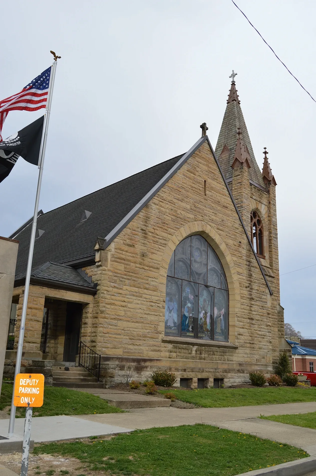
Convenience stores
Places of worship
Cemeteries
Streets nearby
North 9th Street450 ft
State Route 93450 ft
South 10th StreetChurch of Christ, First Tabernacle Church
0.1 mi
North 8th Street0.2 mi
Center StreetIronton, Saint Lawrence O'Toole Catholic Church, Wendy's, Family Dollar
0.2 mi
Vernon StreetFirst Baptist Church of Ironton, Gateway Baptist Church, Big Boy
0.2 mi
South 9th StreetCommunity of Christ
0.2 mi
South 8th StreetTriedstone Church
0.2 mi
Little Storms Creek Road0.2 mi
Nixon Hill Road0.2 mi
Ironton Hills Drive0.2 mi
Railroad StreetBuckeye Sudz Car Wash
0.2 mi
South 6th StreetSaint Paul Lutheran Church, Apostolic Gospel Church, Rankin Historic District
0.2 mi
Private Drive 1720.2 mi
North 7th Street0.3 mi
Depot Square0.3 mi
South 5th StreetLawrence County Bar and Law Library, Saint Joseph Catholic Church, Sharon Baptist Church, Immanuel Church
0.3 mi
Madison Street0.3 mi
North 5th StreetFirst United Methodist Church, Fifth and Lawrence Streets Residential Historic District
0.3 mi
Washington StreetBriggs-Lawrence County Public Library
0.3 mi
North 6th Street0.4 mi
South 4th StreetMount Olive Baptist Church, Little Caesars, Ironton Fire Department, Loran Street Church
0.4 mi
Market Street0.4 mi
Buckhorn Street0.4 mi
Etna Street0.4 mi
North 4th Street0.5 mi
South 3rd StreetUS Bank, Dick's Music Shop & Downtown Emporium FedEx, A Touch of Grace, Ro-Na Cultural Center and Theater, Ironton Puretap
0.5 mi
North 3rd StreetWest Ironton Elementary School
0.5 mi
Jefferson StreetCVS Pharmacy
0.5 mi
Susan Court0.5 mi
South 2nd StreetPatties & Pints
0.5 mi
Park AvenueMelini Cucina, Christ Episcopal Church, Marathon, Speedway, Giovanni's Pizza, Park Avenue Car Wash, Clark's Pump-N-Shop, Toro Loco
0.5 mi
Bobby Bare BoulevardThe Depot
0.5 mi
Lawrence StreetLawrence Street School
0.5 mi
Oakley C Collins Memorial Bridge0.6 mi
Monroe Street0.6 mi
Campbell Avenue0.6 mi
Adams StreetQuinn Chapel, Sherwin-Williams
0.6 mi
Buildings nearby
Bide-A-Wee0.4 mi
Memorial Hall0.4 mi
Ironton City Center0.4 mi
Fire Station0.5 mi
Clinics nearby
Kings Daughter Medical Center Urgent Care150 ft
Courthouses nearby
Lawrence County Courthouse0.3 mi
Hotels nearby
Holiday Inn Express & Suites0.1 mi
Museums nearby
Lawrence County Museum0.3 mi
Places of worship nearby
First Presbyterian Church0.3 mi
Police stations nearby
Lawrence County Sheriffs Office0.3 mi
Post offices nearby
Ironton Post Office0.4 mi
Restaurants nearby
Frisch's Big Boy450 ft
 Public transit map Upper Township Legend
| Railway | |
| Bus | |
| Streetcar |
 Bicycle map Upper Township Legend
| Bike path | |
| Bike lane on roadway | |
| Cycling allowed on bus lane | |
| Bicycle street | |
| Open to cyclists | |
| Open to cyclists, good path | |
| Cycling prohibited | |
| Cobblestone |
| Long-distance bike route | (depending on scale) | |
| Long-distance bike route |
 Pedestrian map Upper Township Legend
| Path |
| Long-distance hiking trail | (depending on scale) | |
| Long-distance hiking trail | ||
| Pedestrians prohibited |