
Magnolia Alley in Toledo, Ohio
Magnolia Alley in Toledo is a service road. It runs in a southeast-northwest direction starting from 22nd Street and crosses 21st Street and Larch Alley and ends at 20th Street.
- Road Type
- service road
- Route
- southeast-northwest
Image
Places of worship
Social facilities
Gift shops
Banks
Restaurants
Laundries
Tire dealers
Cafes
Bars
Car dealerships
Pubs
Artworks
Fast food restaurants
Streets nearby
Larch Alley250 ft
Laburnum Lane300 ft
Laburnum AlleyAttic On Adams
300 ft
Adams StreetGeorgjz419, Wesley's Bar & Grill, Manos Greek Restaurant, Carlos Poco Loco, Adams Laundry & Cleaners, Jennifer Snack, Fowl & Fodder, Grindhrs Coffee & Community
0.1 mi
Warren Street0.1 mi
Putnam Street0.1 mi
Acacia Alley0.1 mi
20th Street0.1 mi
Madison AvenueFifth Third Bank, Huntington Bank, PNC Bank
0.1 mi
Ashland Avenue0.2 mi
18th Street0.2 mi
23rd Street0.2 mi
22nd Street0.2 mi
Horton Street0.3 mi
Monroe StreetAuburndale, Tried Stone Church of God in Christ, Great Black Swamp Brewing Co, Greater Grace Christian Church, Poole's Printing, Baileys Beverage Center, Colony Hardware, Valero, Davis College, Penn Station, Monroe & Willis NE, Monroe & Willis SW, Monroe & Harvest NE, The Denture Center, Shell, Mount Hope Church of Jesus Christ, New Life Evangelistic Center, Tireman, Peacock Cafe, Sukit, Kroger, Station #3 - first location, M'Osteria & Bar, Hannon's Block Restaurant, Papa Papalis Pizza Taverna, The Blarney Irish Pub, The Museum Store, Harvest Time Holiness Church, Chevys Place, Standard Loan, Blubber, Red Robin, Pampered Pets on Monroe, Monroe & Boydson NE, Monroe & Harvest SW, Monroe & Talmadge SE, King Garden Restaurant, Monroe & Royer SW, Grace Lutheran Church
0.3 mi
19th Street0.3 mi
Jefferson Avenue Cycle TrackStation #3 - third location, Registry Bistro
0.3 mi
16th Street0.3 mi
Irving Street0.3 mi
Brookwood Avenue0.3 mi
Norwood Avenue0.3 mi
21st StreetAuto Sales
0.3 mi
Collingwood BoulevardThe Olive
0.3 mi
Norwood Court0.3 mi
Oakwood AvenueAmazing Grace African Methodist Episcopal Zion Church, New Gethsemane Church, Redeemer Lutheran Church
0.3 mi
Jefferson AvenueGenoa Bank, TARTA - Perry Station, Uptown, Burts Theater (historical), PNC Bank
0.3 mi
Washington StreetSaint Clair Street Historic District, Station #3 - fourth location, Ye Olde Durty Bird, Poco Piatti, Tin Can Toledo
0.4 mi
West Woodruff AvenueWestmoreland Historic District
0.4 mi
17th StreetCherry Street Mission
0.4 mi
Parkwood Avenue0.4 mi
Dorr StreetReynolds Corners Baptist Church, Dorr Street Church of God, Dorr Street Cafe, Tim Hortons, Paradise Missionary Baptist Church, El Bethel Church, Family Dollar, Chasers, Chuancai Fang Sichuan Restaurant 川菜坊, Jamaican Spice, Fisherman's Seafood & Chicken, Jed's On Campus, R&B Bubble Tea, Pita Pit, Brew Coffee Bar, The Nail Bar, Top Threadz
0.4 mi
Art Museum DriveMuseum Cafe
0.5 mi
Woodland AvenueChristian Love Missionary Baptist Church
0.5 mi
Division Street0.5 mi
Palmwood AvenueGood News Chapel
0.5 mi
Wheeler Street0.5 mi
Arts centers nearby
University of Toledo Center for the Visual Arts0.4 mi
Commercial buildings nearby
Professional Arts Building0.4 mi
Fast food restaurants nearby
McDonald's0.5 mi
Parks nearby
Gosser Memorial Park0.1 mi
Toledo Spain Plaza0.3 mi
Places of worship nearby
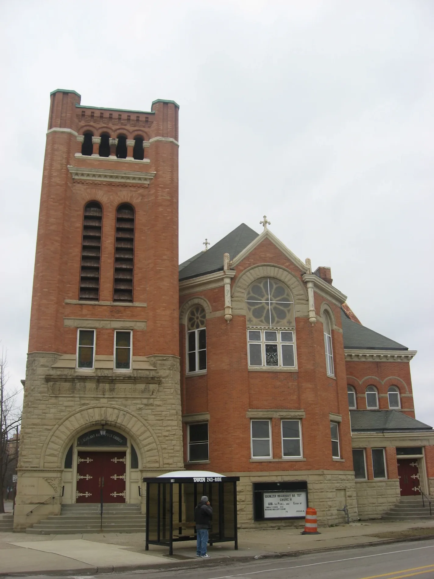
Ashland Avenue Baptist Church0.1 mi
First Alliance Church0.3 mi
Ascension Lutheran Church0.4 mi
Jerusalem Baptist Church0.5 mi
Third Baptist Church0.5 mi
Public buildings nearby
Lucas County Emergency Services Building0.2 mi
Social facilities nearby
Life Revitalization Center0.4 mi
University buildings nearby
University of Toledo Center for Sculptural Studies0.4 mi
 Public transit map Toledo Legend
| Railway | |
| Bus | |
| Streetcar |
 Bicycle map Toledo Legend
| Bike path | |
| Bike lane on roadway | |
| Cycling allowed on bus lane | |
| Bicycle street | |
| Open to cyclists | |
| Open to cyclists, good path | |
| Cycling prohibited | |
| Cobblestone |
| Long-distance bike route | (depending on scale) | |
| Long-distance bike route |
 Pedestrian map Toledo Legend
| Path |
| Long-distance hiking trail | (depending on scale) | |
| Long-distance hiking trail | ||
| Pedestrians prohibited |