
Acacia Alley in Toledo, Ohio
Acacia Alley in Toledo is a service road. It runs in an east-west direction starting from Putnam Street and ends at Warren Street.
- Road Type
- service road
- Route
- east-west
Image
Places of worship
Car dealerships
Artworks
Fast food restaurants
Restaurants
Laundries
Social facilities
Banks
Bars
Pubs
Tire dealers
Libraries
Streets nearby
Warren Street100 ft
Catalpa Alley350 ft
West Woodruff AvenueWestmoreland Historic District
350 ft
Laburnum AlleyAttic On Adams
500 ft
Putnam Street550 ft
Irving Street0.1 mi
Larch Alley0.1 mi
Franklin AvenueWarren-Sherman
0.1 mi
Laburnum Lane0.1 mi
Magnolia Alley0.1 mi
17th StreetCherry Street Mission
0.2 mi
Ashland Avenue0.2 mi
Adams StreetGeorgjz419, Wesley's Bar & Grill, Manos Greek Restaurant, Carlos Poco Loco, Adams Laundry & Cleaners, Jennifer Snack, Fowl & Fodder, Grindhrs Coffee & Community
0.2 mi
Vermont Avenue0.2 mi
22nd Street0.2 mi
21st StreetAuto Sales
0.2 mi
18th Street0.2 mi
Wayman Palmer Court0.2 mi
North 14th Street0.3 mi
20th Street0.3 mi
Floyd Street0.3 mi
Southard Avenue0.3 mi
15th Street0.3 mi
Madison AvenueFifth Third Bank, Huntington Bank, PNC Bank
0.3 mi
14th StreetToledo Club
0.3 mi
Jackson StreetManhattan's, TARTA - Government Station, TARTA - SeaGate Station
0.3 mi
Fulton StreetToledo Olde Towne Historic District
0.3 mi
West Bancroft StreetAvis;Toledo Phone Repair, Patron Saints Brewery, Westside Community Church, Jo-Jo's Pizza, Arnie's, Sunrise Skillet, Bethlehem Baptist Church, Grace Baptist Church, Bancroft Mennonite Church, Stubborn Brother, FedEx Office, University of Toledo Bus stop, Bethel Apostolic Temple, Berea Church of Christ Holiness, Collingwood Springs
0.3 mi
Beacon Street0.4 mi
North 13th Street0.4 mi
East Bancroft StreetBancroft & Lagrange NW, True Church of God of Apostolic Faith
0.4 mi
North 12th Street0.4 mi
Horton Street0.4 mi
Prescott Street0.4 mi
Jerome Street0.4 mi
East Woodruff Avenue0.4 mi
Columbia Street0.4 mi
Kent Street0.4 mi
Page Street0.5 mi
Apartment buildings nearby
New Cheney Flats0.2 mi
Buildings nearby
Zenobia Shrine0.3 mi
Gardens nearby
The Manos Community Garden0.3 mi
Parks nearby
Warren Park450 ft
Gosser Memorial Park0.2 mi
Places of worship nearby
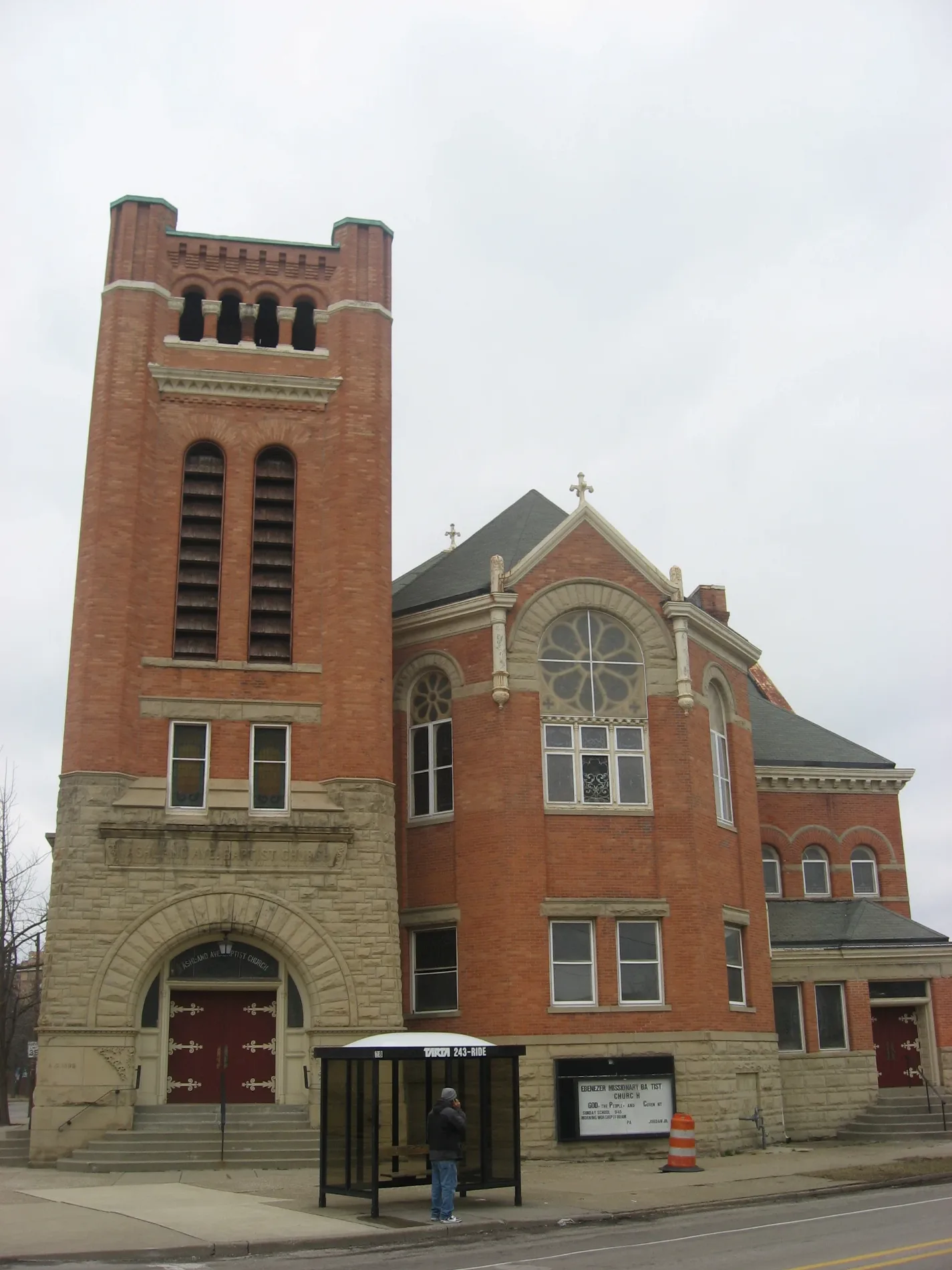
Ashland Avenue Baptist Church0.1 mi
Thomas Temple Church0.3 mi
Corinth Baptist Church0.5 mi
Schools nearby
Toledo School For the Arts0.3 mi
Supermarkets nearby
Seaway Marketplace0.4 mi
 Public transit map Toledo Legend
| Railway | |
| Bus | |
| Streetcar |
 Bicycle map Toledo Legend
| Bike path | |
| Bike lane on roadway | |
| Cycling allowed on bus lane | |
| Bicycle street | |
| Open to cyclists | |
| Open to cyclists, good path | |
| Cycling prohibited | |
| Cobblestone |
| Long-distance bike route | (depending on scale) | |
| Long-distance bike route |
 Pedestrian map Toledo Legend
| Path |
| Long-distance hiking trail | (depending on scale) | |
| Long-distance hiking trail | ||
| Pedestrians prohibited |