
North Hill Street in Brookville, Ohio
North Hill Street in Brookville is a residential street. It runs in a north-south direction starting from Harshman Street and crosses Mound Street and Western Avenue and ends at South Hill Street.
- Road Type
- residential street
- Route
- north-south
Image
Shopping malls
Charging stations
Places of worship
Fountains
Streets nearby
Osage Alley300 ft
North Orchard Street550 ft
Harshman Street550 ft
Western AvenueBrookville Church of the Brethren
0.1 mi
North Wolf Creek StreetBrookside Plaza Shopping Center
0.1 mi
McKinley Street0.1 mi
Church Street0.1 mi
Oslo Court0.1 mi
Madrid Avenue0.1 mi
North Clay Street0.2 mi
Walnut Street0.2 mi
Vienna Court0.2 mi
Rock Street0.2 mi
South Hill Street0.2 mi
Brookside Drive0.2 mi
South Clay Street0.2 mi
Durwell Avenue0.2 mi
North Rock Street0.2 mi
Main StreetBrookville Town Hall
0.2 mi
Mulberry Street0.2 mi
West Westbrook RoadTrinity Lutheran Church
0.3 mi
South Rock Street0.3 mi
Wolf Creek TrailPizza Express
0.3 mi
Salem Street0.3 mi
Columbia Street0.3 mi
Villa Drive0.3 mi
Beechwood Avenue0.3 mi
Ankara Avenue0.3 mi
Baker Street0.3 mi
Cherry Street0.3 mi
Antwerp Avenue0.3 mi
Leisure Drive0.3 mi
Plymouth Avenue0.3 mi
Wolf Creek Recreational Trail Connector0.4 mi
Plymouth Circle0.4 mi
Karrland Drive0.4 mi
Auto repair shops nearby
Hatmaker Service Center0.1 mi
Cafes nearby
Mulberry & Main0.2 mi
Candy stores nearby
Candy Break0.3 mi
Commercial buildings nearby
Booher Insurance0.2 mi
Scrap 'N Friends0.2 mi
Fast food restaurants nearby
Sarah's Pizza and Subs0.3 mi
Libraries nearby
Brookville Historical Society Genealogy Research Library0.2 mi
Museums nearby
Brookville Historical Society Exhibit Building0.1 mi
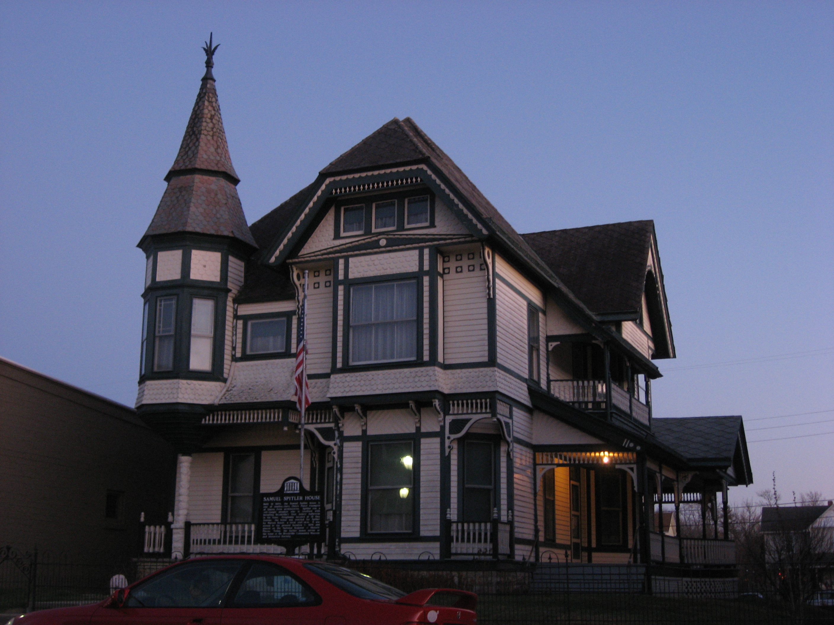
The Samuel Spitler House0.2 mi
Parks nearby
Albert Gruenig Memorial Park0.2 mi
Ward Park0.2 mi
Places of worship nearby
Bible Baptist Fellowship0.2 mi
Post offices nearby
Brookville Post Office0.3 mi
Public transit map Brookville Legend
| Railway | |
| Bus | |
| Streetcar |
Bicycle map Brookville Legend
| Bike path | |
| Bike lane on roadway | |
| Cycling allowed on bus lane | |
| Bicycle street | |
| Open to cyclists | |
| Open to cyclists, good path | |
| Cycling prohibited | |
| Cobblestone |
| Long-distance bike route | (depending on scale) | |
| Long-distance bike route |
Pedestrian map Brookville Legend
| Path |
| Long-distance hiking trail | (depending on scale) | |
| Long-distance hiking trail | ||
| Pedestrians prohibited |