
North Wolf Creek Street in Brookville, Ohio
North Wolf Creek Street in Brookville is a local road. It runs in a southeast-northwest direction starting from Arlington Road and crosses McMaken Lane, Karrland Drive, Brookside Drive, Leisure Drive, Durwell Avenue, Harshman Street, Main Street, Market Street and Western Avenue and ends at South Wolf Creek Street. Nearby there is a shopping mall.
- Road Type
- local road
- Route
- southeast-northwest
Image
Shopping malls
Streets nearby
Western AvenueBrookville Church of the Brethren
250 ft
Osage Alley350 ft
Harshman Street350 ft
Walnut Street550 ft
North Hill Street0.1 mi
Mulberry Street0.1 mi
Main StreetBrookville Town Hall
0.1 mi
McKinley Street0.2 mi
Columbia Street0.2 mi
Salem Street0.2 mi
Market StreetBrookville
0.2 mi
Baker Street0.2 mi
Hay Avenue0.2 mi
South Hill Street0.2 mi
Wolf Creek TrailPizza Express
0.2 mi
Maple StreetCommunity United Methodist Church
0.2 mi
Oak Street0.2 mi
Cusick Avenue0.3 mi
Jefferson Street0.3 mi
Gaines Street0.3 mi
Sycamore Street0.3 mi
Lisa Court0.3 mi
Vine Street0.3 mi
West Westbrook RoadTrinity Lutheran Church
0.3 mi
Joanna Street0.4 mi
Poplar Street0.4 mi
Wall Street0.4 mi
Auto repair shops nearby
Hatmaker Service Center250 ft
Buildings nearby
Brookville City Council0.3 mi
Cafes nearby
Mulberry & Main0.1 mi
Candy stores nearby
Candy Break0.1 mi
Commercial buildings nearby
Booher Insurance450 ft
Scrap 'N Friends0.1 mi
Brookville Chamber of Commerce0.3 mi
Fast food restaurants nearby
Sarah's Pizza and Subs0.2 mi
Fire stations nearby
Brookville Fire Department – Station 20.4 mi
Libraries nearby
Brookville Historical Society Genealogy Research Library250 ft
Museums nearby
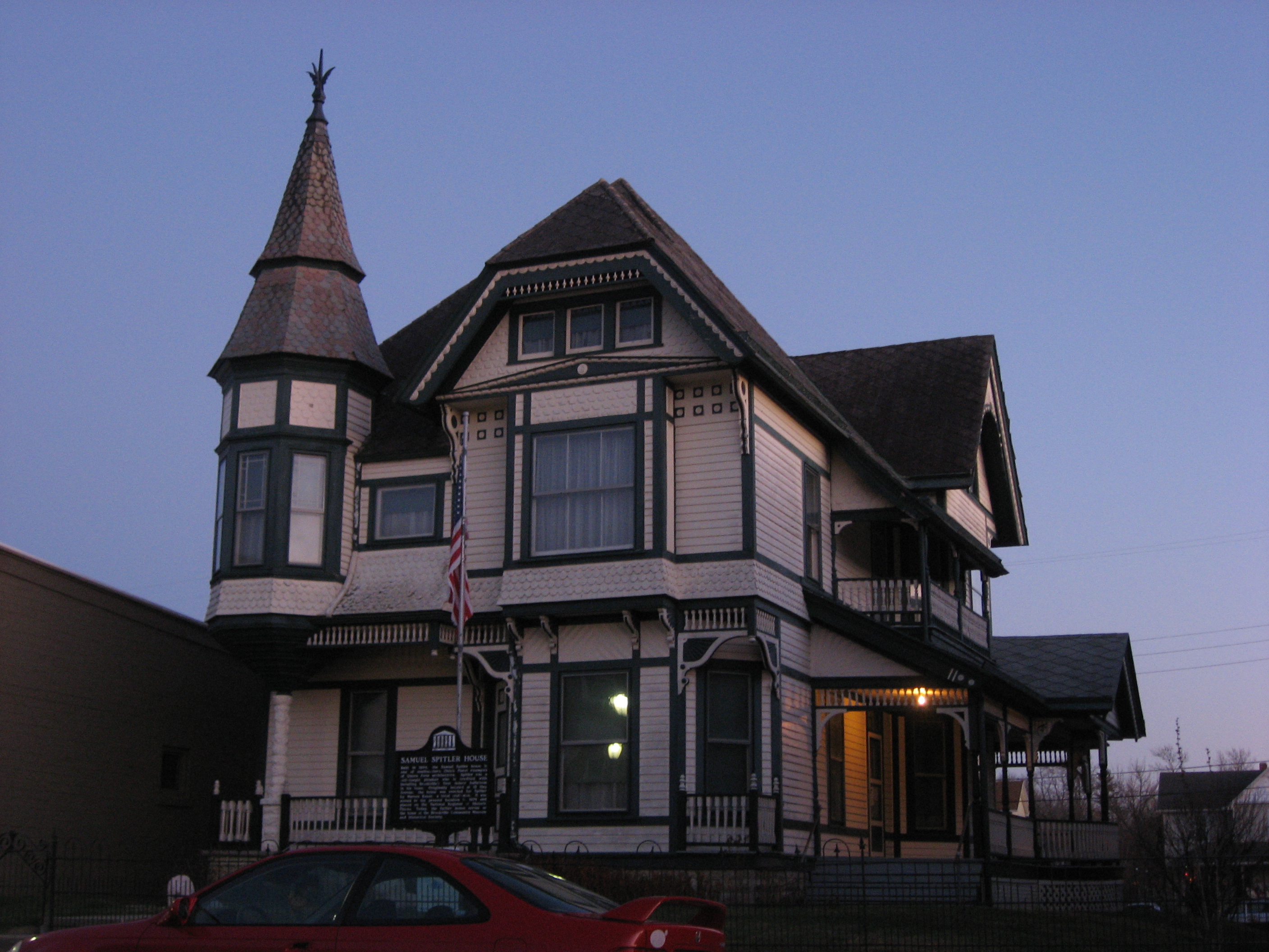
The Samuel Spitler House250 ft
Brookville Historical Society Exhibit Building350 ft
Caboose Museum0.3 mi
Depot Museum0.3 mi
Parks nearby
Albert Gruenig Memorial Park550 ft
Ward Park0.2 mi
Brookville Railroad Depot0.2 mi
Places of worship nearby
Bible Baptist Fellowship0.1 mi
Police stations nearby
Brookville Police Department0.3 mi
Post offices nearby
Brookville Post Office0.1 mi
Sports fields nearby
Brookville SK8 Park0.4 mi
Town halls nearby
City of Brookville Municipal Offices0.3 mi
Public transit map Brookville Legend
| Railway | |
| Bus | |
| Streetcar |
Bicycle map Brookville Legend
| Bike path | |
| Bike lane on roadway | |
| Cycling allowed on bus lane | |
| Bicycle street | |
| Open to cyclists | |
| Open to cyclists, good path | |
| Cycling prohibited | |
| Cobblestone |
| Long-distance bike route | (depending on scale) | |
| Long-distance bike route |
Pedestrian map Brookville Legend
| Path |
| Long-distance hiking trail | (depending on scale) | |
| Long-distance hiking trail | ||
| Pedestrians prohibited |