
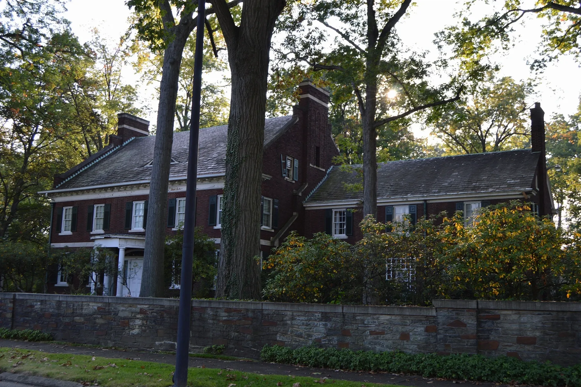
Belvedere Avenue Northeast in Warren, Ohio
Belvedere Avenue Northeast in Trumbull County is a residential street. It runs in a north-south direction starting from Sarkies Drive Northeast and crosses Guarnieri Drive Northeast, Atlantic Street Northeast, Parkside Street Northeast, Woodland Street Northeast and Montclair Street Northeast and ends at East Market Street.
- Road Type
- residential street
- Route
- north-south
Image
Fire stations
Auto repair shops
Gas stations
Places of worship
Schools
Clinics
Doctor's offices
Fast food restaurants
Streets nearby
Montclair Street Northeast200 ft
Kenmore Avenue Northeast450 ft
East Market StreetSaints Peter and Paul Byzantine Catholic Church, Central Christian Church, Saint Pauls Lutheran Church, Parisa Khavari, MD, Añejo Mexican Restaurant, Beltone, Sprinkle Kindness, Boundless Wonders, Studio Eleven Salon, Pesa Italian Rolls, Eastwood Quick Print, Blush Wellness Spa, Greek Delights, The Hub Nutrition, Clean Rite, Evaline’s Bridal and Tuxedo, The Saratoga, Speedway, Howard's Clothes, Warren Commercial Historic District, Horseshoe Bar
0.1 mi
Garfield Drive Northeast0.2 mi
Oak Knoll Avenue Northeast0.2 mi
Willard Avenue Northeast0.2 mi
Oak Knoll Avenue Southeast0.2 mi
Roselawn Avenue Northeast0.3 mi
Perksinwood Boulevard Northeast0.3 mi
Perkinswood Boulevard Northeast0.3 mi
South Street SoutheastFire Station Number 1
0.3 mi
Kenilworth Avenue Southeast0.3 mi
Parkside Street NortheastGarfield Heights
0.4 mi
Adelaide Avenue Northeast0.4 mi
Longfellow Court Northeast0.4 mi
Homewood Avenue Southeast0.4 mi
Sunset Drive Northeast0.4 mi
Foster Drive Northeast0.4 mi
Fairmount Avenue Northeast0.4 mi
Kenmore Avenue Southeast0.4 mi
Belle Street Southeast0.4 mi
Wildwood Drive NortheastFairway Estates
0.4 mi
Perkinswood Boulevard Southeast0.4 mi
Woodbine Avenue SoutheastBelvedere Park
0.5 mi
Trumbull Avenue Northeast0.5 mi
Kenilworth Avenue NortheastEdgewood Park
0.5 mi
Central Parkway Avenue Southeast0.5 mi
Halsey Drive NortheastGolf Estates
0.5 mi
Butler Road Northeast0.5 mi
Oxford Drive Northeast0.5 mi
Westview Drive Northeast0.5 mi
Willard Avenue SoutheastGrace Automotive, Little Caesars, Willard School
0.5 mi
Grandview Street Southeast0.5 mi
Crescent Drive NortheastColonial Village
0.6 mi
Adelaide Avenue SoutheastEast Side Church of Christ
0.6 mi
Trumbull Avenue Southeast0.6 mi
Atlantic Street NortheastFire Station Number 5
0.6 mi
Belvedere Avenue SoutheastIsrael Temple Center
0.6 mi
Fairway Drive Northeast0.6 mi
Ada Street SoutheastBellevue
0.6 mi
Fairway Court Northeast0.6 mi
Genesee Avenue Northeast0.6 mi
Guarnieri Drive Northeast0.6 mi
Melwood Drive Northeast0.7 mi
Francis Avenue Southeast0.7 mi
Sarkies Drive Northeast0.7 mi
Catalpa Street Southeast0.7 mi
Hollywood Street NortheastAtlantic Heights
0.7 mi
Devon Street SoutheastPerkinswood
0.7 mi
 Public transit map Warren Legend
| Railway | |
| Bus | |
| Streetcar |
 Bicycle map Warren Legend
| Bike path | |
| Bike lane on roadway | |
| Cycling allowed on bus lane | |
| Bicycle street | |
| Open to cyclists | |
| Open to cyclists, good path | |
| Cycling prohibited | |
| Cobblestone |
| Long-distance bike route | (depending on scale) | |
| Long-distance bike route |
 Pedestrian map Warren Legend
| Path |
| Long-distance hiking trail | (depending on scale) | |
| Long-distance hiking trail | ||
| Pedestrians prohibited |