
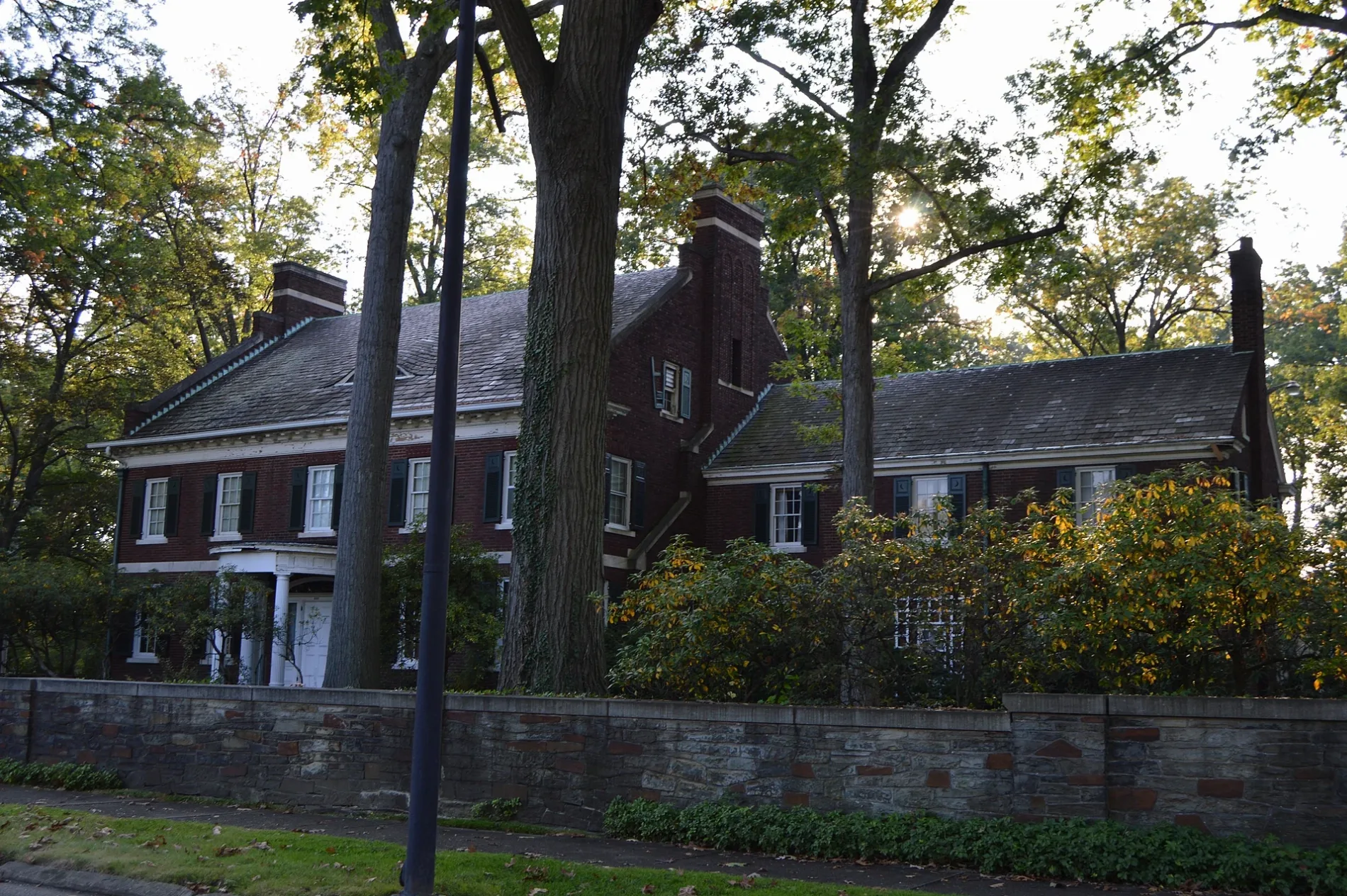
Oak Knoll Avenue Northeast in Warren, Ohio
Oak Knoll Avenue Northeast in Trumbull County is a residential street. It runs in a north-south direction starting from Oak Knoll Avenue Southeast and crosses Montclair Street Northeast and ends at East Market Street.
- Road Type
- residential street
- Route
- north-south
Image
Fire stations
Auto repair shops
Fast food restaurants
Places of worship
Schools
Clinics
Doctor's offices
Streets nearby
Roselawn Avenue Northeast350 ft
Oak Knoll Avenue Southeast400 ft
Kenilworth Avenue Southeast0.1 mi
East Market StreetSaints Peter and Paul Byzantine Catholic Church, Central Christian Church, Saint Pauls Lutheran Church, Parisa Khavari, MD, Añejo Mexican Restaurant, Beltone, Sprinkle Kindness, Boundless Wonders, Studio Eleven Salon, Pesa Italian Rolls, Eastwood Quick Print, Blush Wellness Spa, Greek Delights, The Hub Nutrition, Clean Rite, Evaline’s Bridal and Tuxedo, The Saratoga, Speedway, Howard's Clothes, Warren Commercial Historic District, Horseshoe Bar
0.2 mi
Homewood Avenue Southeast0.2 mi
Longfellow Court Northeast0.2 mi
Belvedere Avenue Northeast0.2 mi
Fairmount Avenue Northeast0.2 mi
Montclair Street Northeast0.2 mi
South Street SoutheastFire Station Number 1
0.2 mi
Belvedere Avenue SoutheastIsrael Temple Center
0.3 mi
Kenmore Avenue Northeast0.3 mi
Belle Street Southeast0.3 mi
Woodbine Avenue SoutheastBelvedere Park
0.3 mi
High Street NortheastSaints Cyril and Methodius Roman Catholic Church, Iddings Park, 5 Grands Chic Boutique, A Dash of Charm, Gordon's American Martial Arts, Hippodrome Banquet Center, High Street Northeast & North Park Avenue, Warren Philharmonic Orchestra, Fine Arts Council of Trumbull
0.3 mi
Sunset Drive Northeast0.4 mi
Willard Avenue SoutheastGrace Automotive, Little Caesars, Willard School
0.4 mi
Garfield Drive Northeast0.4 mi
Kenmore Avenue Southeast0.4 mi
Willard Avenue Northeast0.4 mi
Kenilworth Avenue NortheastEdgewood Park
0.4 mi
Perksinwood Boulevard Northeast0.4 mi
Perkinswood Boulevard Northeast0.4 mi
Adelaide Avenue SoutheastEast Side Church of Christ
0.5 mi
Adelaide Avenue Northeast0.5 mi
Parkside Street NortheastGarfield Heights
0.5 mi
Lowell Avenue Northeast0.5 mi
Iddings Avenue Northeast0.5 mi
Grant Street Southeast0.5 mi
Woodland Street NortheastOak Knoll
0.5 mi
Laird Avenue Southeast0.5 mi
Severn Court Southeast0.5 mi
Grandview Street Southeast0.5 mi
Bonnie Brae Avenue Southeast0.5 mi
Lawrence Avenue Northeast0.5 mi
Iddings Avenue Southeast0.5 mi
Westview Drive Northeast0.6 mi
Charles Avenue Northeast0.6 mi
Western Reserve Greenway Trail0.6 mi
Bonnie Brae Avenue NortheastElmwood
0.6 mi
Laird Avenue NortheastSaints Cyril and Methodius School
0.6 mi
Edwards Court Northeast0.7 mi
Convenience stores nearby
BP Shop0.4 mi
Lucky 7 Food Mart0.4 mi
Parks nearby
East Junior0.5 mi
Places of worship nearby
Calvary Presbyterian Church;Calvary United Brethren Church0.4 mi
Sports fields nearby
Practice Field0.6 mi
Baseball Stadium0.7 mi
Stadiums nearby
Press Box0.7 mi
Public transit map Warren Legend
| Railway | |
| Bus | |
| Streetcar |
Bicycle map Warren Legend
| Bike path | |
| Bike lane on roadway | |
| Cycling allowed on bus lane | |
| Bicycle street | |
| Open to cyclists | |
| Open to cyclists, good path | |
| Cycling prohibited | |
| Cobblestone |
| Long-distance bike route | (depending on scale) | |
| Long-distance bike route |
Pedestrian map Warren Legend
| Path |
| Long-distance hiking trail | (depending on scale) | |
| Long-distance hiking trail | ||
| Pedestrians prohibited |