
Delphos, Ohio
Delphos is located in Washington Township. About 7,117 people live here (as of 2020). Between 2010 and 2020, the population grew from 7,101 to 7,117. The region is at 236 meters above sea level. The area covers about 9.1 square kilometers. There are about 246 streets in Delphos. The region was founded in 1844. The ZIP codes are 45833. The name originates from Delphus (son of Poseidon) Delphos is city in Ohio. Among other things, Delphos has public Transport and schools. More information at www.cityofdelphos.com.
Delphos – Facts
| Population | 7117 |
|---|---|
| Area | 9.1 km² |
| Named after | Delphus |
| Year built | 1844 |
| Elevation | 236 m |
| Located in | Van Wert County, Allen County, Ohio |
| Postal code | 45833 |
| Country | United States |
| Official name | Delphos |
| Described by | Meyers Konversations-Lexikon, 4th edition (1885–1890) |
| Website | http://www.cityofdelphos.com/ |
Data source: Wikidata (CC0)
Photos from Delphos
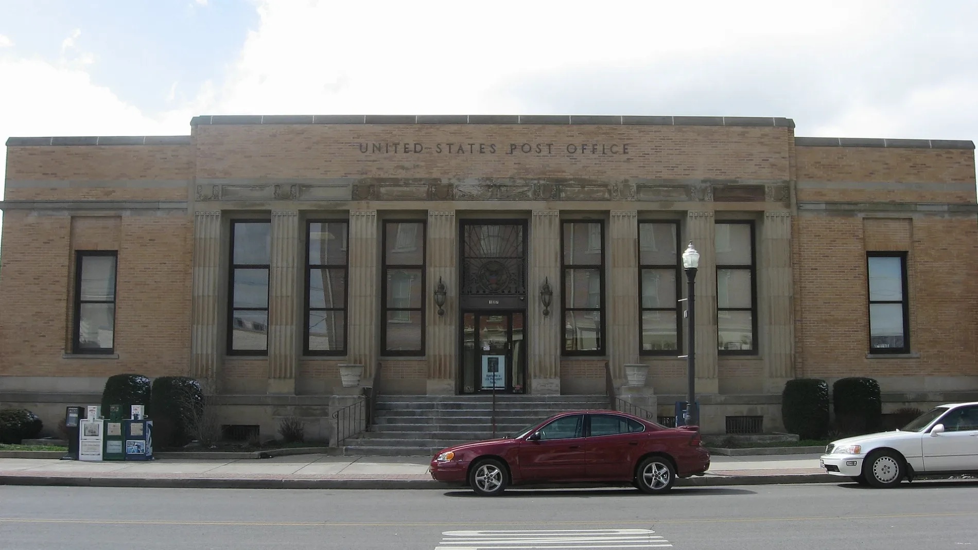
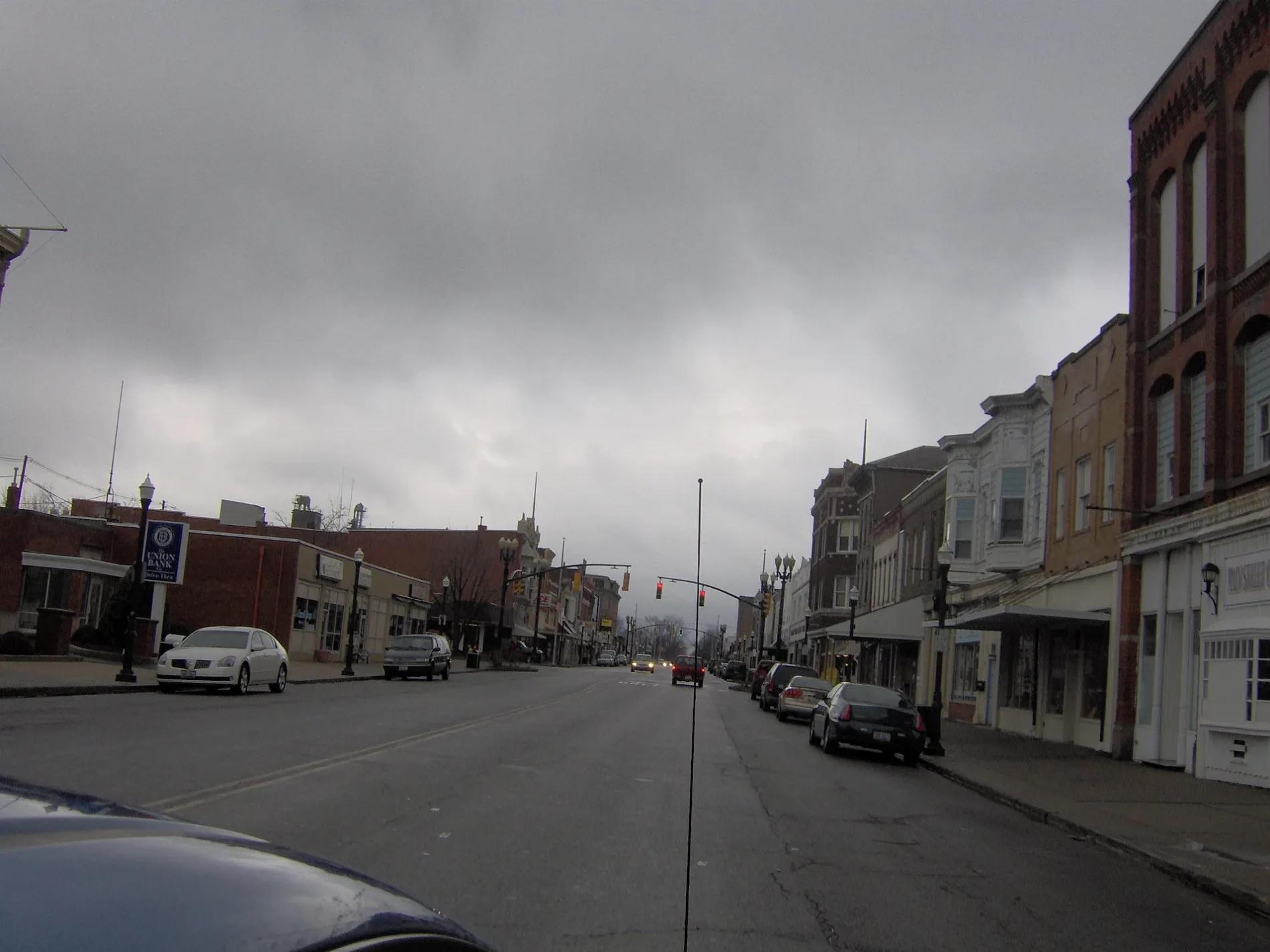


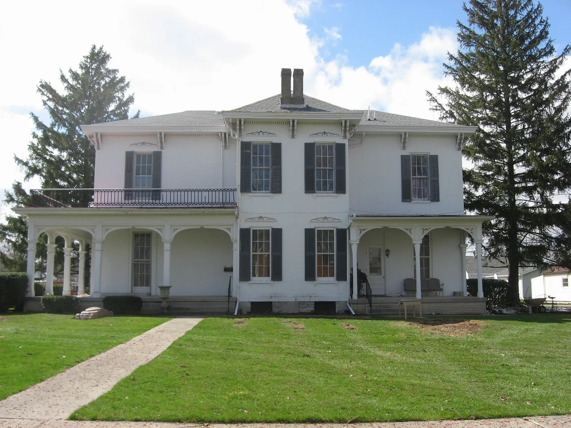
Streets in Delphos, Ohio
Streets
South Main Street
Speedway
Elida AvenueMcDonald's
Wayne StreetGarfield School
East 1st StreetInter-Faith Thrift Shop
West 5th StreetSubway
South Pierce StreetLincoln School
North Elm StreetFirst Assembly of God Church
East 3rd StreetDelphos Ace
Moxie LaneMicrotel Inn & Suites (Delphos, OH)
South Franklin StreetFirst Christian Union Church
West 3rd StreetThe Creamery
Rose Avenue
North Main Street
Delphos Southworth Road
Elida Road
Krieft Street
Upperman Road
Summers Lane
East 12th Street
Grothause Street
West 10th Street
Christina Street
Dewey Street
Lima Avenue
Short Street
Ohio Street
East 9th Street
Vera Avenue
Ricker Street
West 4th Street
Douglas Street
South Clay Street
Westview Drive
Carolyn Drive
Eastwood Avenue
Pohlman Road
West Clime Street
Jackson Street
Craig Avenue
North State Street
Madison Street
West 8th Street
North Cass Street
Annex Drive
South Washington Street
North Moening Street
Dayton Street
North Scott Street
Euclid Avenue
Holland Avenue
West 2nd StreetDelphos
Fort Jennings Road
West 6th Street
Metbliss Avenue
East Lincoln Street
East 13th Street
North Clay Street
Marion Avenue
Jennings Street
Gilliland Avenue
North Franklin Street
Fairlane Drive
North Bredeick Street
East South Street
East 6th Street
Wildwood Circle
North Washington Street
North Jefferson Street
Cleveland Court
West 1st Street
East 5th Street
King Street
Harmon StreetCanals
Car washes
Fast food restaurants
Parks
Places of worship
Post offices
Public transit map Delphos Legend
| Railway | |
| Bus | |
| Streetcar |
Bicycle map Delphos Legend
| Bike path | |
| Bike lane on roadway | |
| Cycling allowed on bus lane | |
| Bicycle street | |
| Open to cyclists | |
| Open to cyclists, good path | |
| Cycling prohibited | |
| Cobblestone |
| Long-distance bike route | (depending on scale) | |
| Long-distance bike route |
Pedestrian map Delphos Legend
| Path |
| Long-distance hiking trail | (depending on scale) | |
| Long-distance hiking trail | ||
| Pedestrians prohibited |