
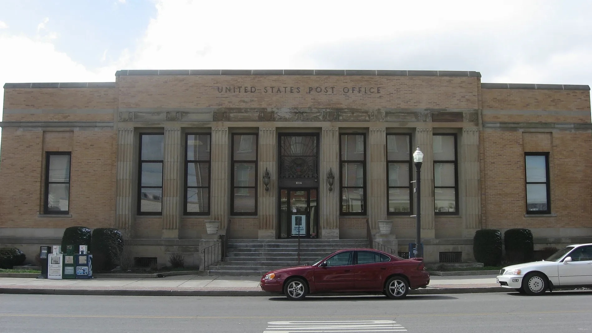
North Main Street in Delphos, Ohio
North Main Street in Delphos is an asphalted secondary road (Road number SR 66). It runs in a north-south direction and crosses East 13th Street, East 12th Street, East 11th Street, East 10th Street, West 10th Street, East 9th Street, East 8th Street, East 7th Street, West 7th Street, East 6th Street, West 6th Street and East 5th Street. This street is part of the highways 66, 697 and MEC.
- Road Type
- secondary road
- Route
- north-south
Image
Secondhand stores
Gas stations
Bus stops
Convenience stores
Places of worship
Hardware stores
Fast food restaurants
Schools
Ice cream shops
Streets nearby
West 1st Street50 ft
South Washington Street400 ft
East 1st StreetInter-Faith Thrift Shop
400 ft
East 2nd Street0.1 mi
West 2nd StreetDelphos
0.1 mi
North Jefferson Street0.2 mi
West 3rd StreetThe Creamery
0.2 mi
South Main StreetSpeedway
0.2 mi
North Clay Street0.2 mi
East Cleveland Street0.2 mi
Buckeye Trail0.2 mi
South Franklin StreetFirst Christian Union Church
0.3 mi
South Jefferson Street0.3 mi
North Cass Street0.3 mi
Scott Street0.3 mi
South Pierce StreetLincoln School
0.3 mi
East 3rd StreetDelphos Ace
0.3 mi
Cherry Street0.3 mi
West Cleveland Street0.3 mi
Cleveland Court0.3 mi
West 5th StreetSubway
0.3 mi
North Canal Street0.3 mi
South Canal Street0.3 mi
South Clay Street0.3 mi
North Scott Street0.3 mi
North Bredeick Street0.4 mi
North Pierce Street0.4 mi
West 4th Street0.4 mi
Douglas Street0.4 mi
West 6th Street0.4 mi
East 4th Street0.4 mi
Walnut Street0.4 mi
Central0.4 mi
Maple Street0.4 mi
South Cass Street0.4 mi
East Suthoff Street0.4 mi
West 7th Street0.4 mi
Bank Street0.5 mi
North State Street0.5 mi
Canals nearby
Miami and Erie Canal0.2 mi
Car washes nearby
Canal St Car Wash0.2 mi
Guest houses nearby
The Victorian Guesthouse0.2 mi
Places of worship nearby
Trinity United Methodist Church0.2 mi
First United Presbyterian Church0.2 mi
Saint John the Evangelist Catholic Church0.2 mi
Saint Peter Evangelical Lutheran Church0.3 mi
Post offices nearby
Delphos Post Office200 ft
Railways nearby
Chicago, Fort Wayne and Eastern Railroad0.1 mi
CF&E Lima Subdivision0.2 mi
Public transit map Delphos Legend
| Railway | |
| Bus | |
| Streetcar |
Bicycle map Delphos Legend
| Bike path | |
| Bike lane on roadway | |
| Cycling allowed on bus lane | |
| Bicycle street | |
| Open to cyclists | |
| Open to cyclists, good path | |
| Cycling prohibited | |
| Cobblestone |
| Long-distance bike route | (depending on scale) | |
| Long-distance bike route |
Pedestrian map Delphos Legend
| Path |
| Long-distance hiking trail | (depending on scale) | |
| Long-distance hiking trail | ||
| Pedestrians prohibited |