
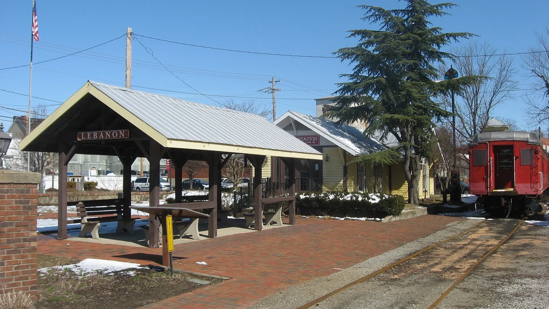
East Orchard Avenue in Lebanon, Ohio
East Orchard Avenue in Lebanon is a two-lane, asphalted local road. It runs in an east-west direction starting from West Orchard Avenue and crosses South Broadway Street, South Mechanic Street and Deerfield Road and ends at South East Street.
- Road Type
- local road
- Lanes
- 2
- Speed Limit
- 25 mph
- Route
- east-west
Image
Schools
Museums
- Glendower Museum (Web) – approx. 0.2 mi.
Social facilities
Outdoor stores
Craft stores
Pastry shops
Places of worship
Cafes
Theaters
Candy stores
Gift shops
Restaurants
Hair salons
Antique stores
Bookstores
Pet grooming salons
Sewing supply stores
Streets nearby
East Park Avenue500 ft
Wright Avenue500 ft
South Mechanic StreetLebanon Theatre Company
0.1 mi
Ward Street0.1 mi
South East StreetFirst Church of God
0.2 mi
Park Place0.2 mi
Mayfair Place0.2 mi
Museum LaneGlendower Museum
0.2 mi
Maple Avenue0.2 mi
Park Avenue0.2 mi
Cincinnati Avenue0.2 mi
South Broadway StreetFloraville Historic District, Golden Lamb Inn, Whit's Frozen Custard
0.3 mi
East South Street0.3 mi
West Orchard Avenue0.3 mi
Harmon Park Drive0.3 mi
South Cherry Street0.3 mi
West South StreetMiller's Antique Mall
0.3 mi
Concord Drive0.3 mi
Lebanon Countryside Trail0.3 mi
South Sycamore Street0.3 mi
East Concord Drive0.3 mi
East Main StreetA Man's Place, Lebanon Electric Supply
0.3 mi
Cherry Street0.3 mi
Hill View Avenue0.4 mi
West Main Street0.4 mi
Johnson Court0.4 mi
West Park Avenue0.4 mi
Keever Street0.4 mi
Keever Avenue0.4 mi
South Corwin Street0.4 mi
Hickory Lane0.5 mi
South West Street0.5 mi
Indian Mound Drive0.5 mi
McBurney Drive0.6 mi
Cook Road0.6 mi
Countryside YMCA Bike Trail0.6 mi
Deerfield RoadLCNB
0.6 mi
Shady Lane0.7 mi
Thorny Ridge Trail0.7 mi
Buildings nearby
Shoe Factory0.3 mi
Libraries nearby
Lebanon Public Library0.3 mi
Museums nearby
Warren County Museum0.3 mi
Post offices nearby
Lebanon Post Office0.3 mi
Preschools nearby
The Academy0.6 mi
Railways nearby
Lebanon Subdivision0.3 mi
Residential areas nearby
Avalon Heights0.6 mi
Retail buildings nearby
Cherry Street Cafe0.3 mi
Sports fields nearby
Runyan Field0.2 mi
Town halls nearby
Lebanon City Hall0.3 mi
Public transit map Lebanon Legend
| Railway | |
| Bus | |
| Streetcar |
Bicycle map Lebanon Legend
| Bike path | |
| Bike lane on roadway | |
| Cycling allowed on bus lane | |
| Bicycle street | |
| Open to cyclists | |
| Open to cyclists, good path | |
| Cycling prohibited | |
| Cobblestone |
| Long-distance bike route | (depending on scale) | |
| Long-distance bike route |
Pedestrian map Lebanon Legend
| Path |
| Long-distance hiking trail | (depending on scale) | |
| Long-distance hiking trail | ||
| Pedestrians prohibited |