
South East Street in Lebanon, Ohio
South East Street in Lebanon is a residential street. It runs in a north-south direction starting from North East Street and crosses East Mulberry Street, East Main Street, Harmon Park Drive, Wright Avenue, East Orchard Avenue, East Park Avenue, Park Avenue, Justice Drive, Maple Avenue and Hill View Avenue and ends at Deerfield Road. Nearby there is a place of worship. South East Street also exists in Mason.
- Road Type
- residential street
- Speed Limit
- 25 mph
- Route
- north-south
Image
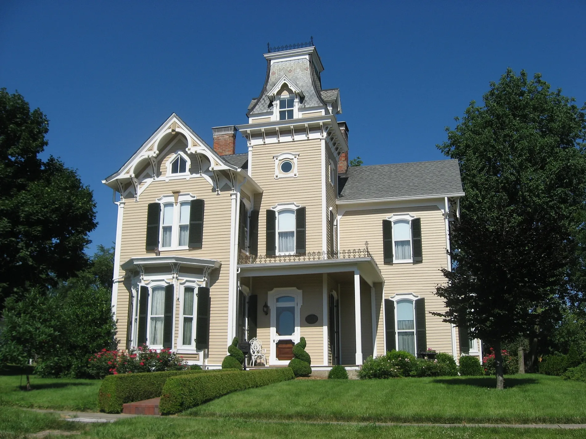
Places of worship
Streets nearby
Parkview Avenue400 ft
South High Street450 ft
East Mulberry StreetLebanon Commercial Historic District, Barkers Barbershop for Dogs, Lebanon Candy & Sports Cards, Arrow Adventure, Mulberry St Books, Villagio's, Serenity Salon, Woodshed Smokehouse & Grille, Greenhouse Cafe + Bar
450 ft
Cherry Street500 ft
East Silver StreetLebanon, East End Historic District
0.1 mi
Lebanon Countryside Trail0.1 mi
Chillicothe AvenueStudio 85 Tattoo
0.1 mi
South Cherry Street0.1 mi
South Mechanic StreetLebanon Theatre Company
0.2 mi
North Cherry StreetChurch of Christ
0.2 mi
Jackson Street0.2 mi
North High Street0.2 mi
Stokes Street0.2 mi
Stillwell Place0.2 mi
East South Street0.2 mi
Harmon Park Drive0.2 mi
North Mechanic StreetCarlie's Cookies, East Main Productions
0.2 mi
East Main StreetA Man's Place, Lebanon Electric Supply
0.2 mi
South Broadway StreetFloraville Historic District, Golden Lamb Inn, Whit's Frozen Custard
0.2 mi
West Main Street0.3 mi
West Silver StreetCalvary Baptist Church
0.3 mi
East Warren StreetLebanon Christian Schools - Middle / High School
0.3 mi
Pleasant StreetZion Baptist Church, North Broadway Historic District
0.3 mi
North Broadway StreetYour World On Canvas, BrickHouse on Broadway Personalized Gift Shop
0.3 mi
Mound Street0.3 mi
North East Street0.3 mi
New StreetUrbancrest New Street Campus
0.3 mi
Saw Mill Circle0.3 mi
Columbus AvenueCVS Pharmacy, Speedway
0.3 mi
Morton Lane0.3 mi
North Lane0.3 mi
Colonial Park0.4 mi
Banks nearby
LCNB0.2 mi
Fifth Third Bank0.2 mi
Buildings nearby
Mary Ann Klingling Childrens Home0.1 mi
IOOF Temple0.1 mi
Shoe Factory0.1 mi
Nixon-Brant House0.2 mi
LCNB Corporate Headquarters0.3 mi
Lebanon Brewing Company0.3 mi
Commercial buildings nearby
Rittgers Rittgers & Nakajima0.2 mi
Courthouses nearby
Warren County Courthouse0.1 mi
Libraries nearby
Lebanon Public Library0.3 mi
Parks nearby
Warren County Veterans Memorial Park0.2 mi
Places of worship nearby
First Presbyterian Church0.2 mi
First Baptist Church0.2 mi
Retail buildings nearby
Cherry Street Cafe0.1 mi
Sports fields nearby
Runyan Field0.2 mi
Town halls nearby
Lebanon City Hall0.2 mi
Public transit map Lebanon Legend
| Railway | |
| Bus | |
| Streetcar |
Bicycle map Lebanon Legend
| Bike path | |
| Bike lane on roadway | |
| Cycling allowed on bus lane | |
| Bicycle street | |
| Open to cyclists | |
| Open to cyclists, good path | |
| Cycling prohibited | |
| Cobblestone |
| Long-distance bike route | (depending on scale) | |
| Long-distance bike route |
Pedestrian map Lebanon Legend
| Path |
| Long-distance hiking trail | (depending on scale) | |
| Long-distance hiking trail | ||
| Pedestrians prohibited |