
South Will Rogers Expressway in Oklahoma City
South Will Rogers Expressway in Oklahoma City is a two-lane, asphalted secondary road. The road surface is good. It runs in a north-south direction starting from Southwest 89th Street and ends at South I-44 Service Road. Nearby there is a restaurant.
- Road Type
- secondary road
- Lanes
- 2
- Route
- north-south
Image
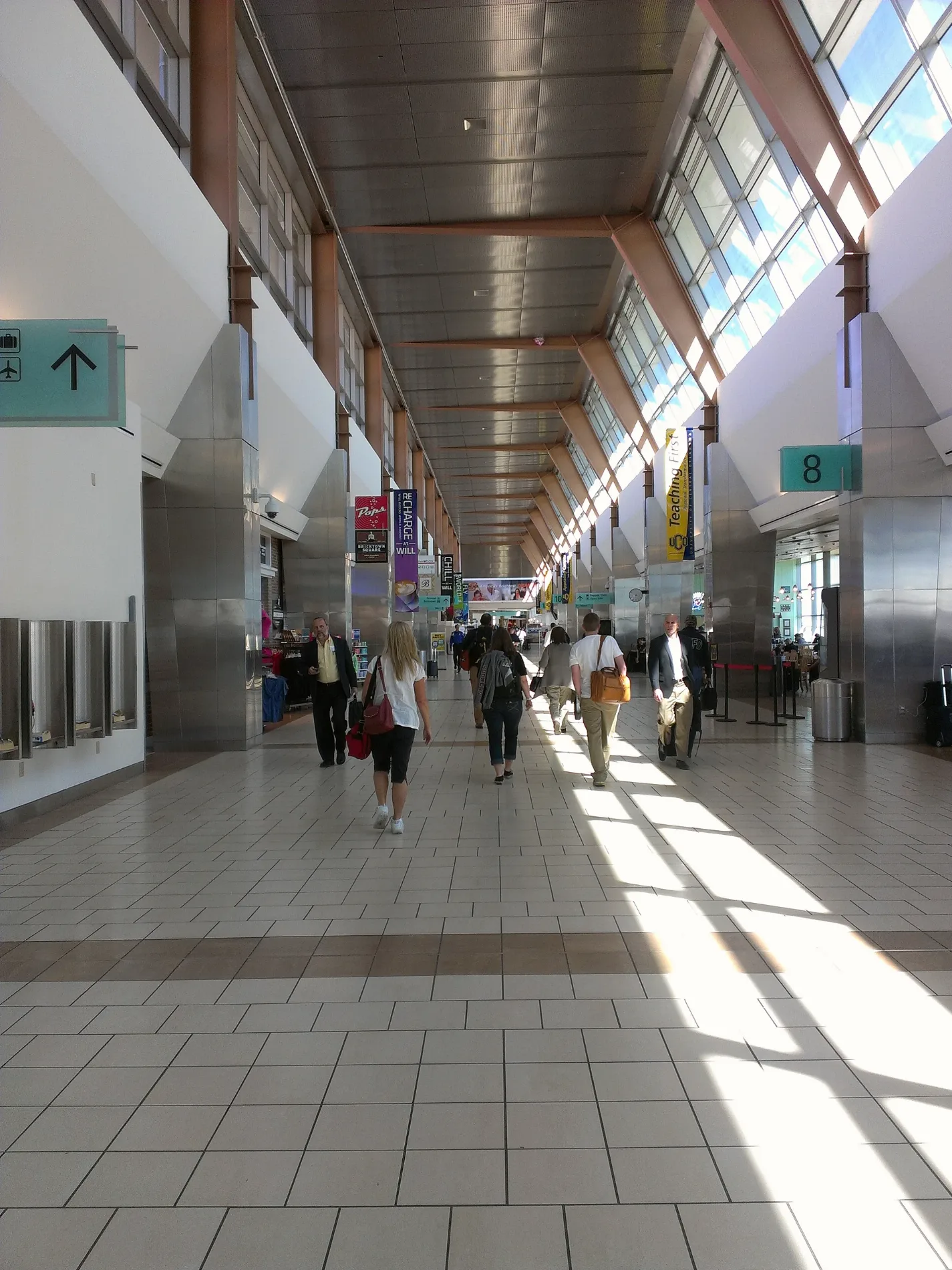
Restaurants
Streets nearby
Land Avenue0.2 mi
South Land Avenue0.2 mi
South Independence AvenueIndependence Avenue Baptist Church, Woodson Park Church-Nazarene
0.3 mi
Carter Court0.3 mi
Southwest 92nd Street0.3 mi
Will Rogers ExpresswayHyatt Place Oklahoma City Northwest
0.4 mi
South Rachel Court0.4 mi
Mayview Circle0.4 mi
Southwest 97th Street0.4 mi
Southwest 89th StreetWendy's, Fulcrum Health and Wellness, Dollar Tree, Love's, Valero, Sonic
0.4 mi
Southwest 100th Place0.4 mi
Maypark Drive0.4 mi
Rachel Street0.4 mi
Southwest 95th Street0.4 mi
Southwest 93rd Street0.4 mi
South I-44 Service Road0.4 mi
Southwest 99th Street0.5 mi
Lands End Court0.5 mi
David Drive0.5 mi
Southwest 96th Street0.5 mi
Maybrook Drive0.5 mi
Jetty Court0.5 mi
May Park Circle0.5 mi
Southwest 100th Street0.5 mi
South Drexel Avenue0.5 mi
Bay Court0.5 mi
Galway Court0.5 mi
Southwest 102nd Terrace0.6 mi
South Portland AvenueOklahoma City Household Hazardous Waste Collection Center, Portland Avenue Church, Christs Christian Church, Jordan Baptist Church, OnGo, Carey School
0.6 mi
Southwest 102nd Street0.6 mi
Southwest 103rd Street0.6 mi
Biscay Court0.6 mi
Southwest 103rd Place0.6 mi
Seafarer Drive0.6 mi
Southwest 104th Terrace0.6 mi
Southwest 104th StreetGreat Clips, Subway, H & L Nails Lounge, Dynamic Dental Studio, Beltone, EarthWise Pet, Nón Lá Café, Calvary Brethren in Christ Church, Fuzzy's Taco Shop, Happy Place Cannabis, Neighborhood Jam, Alliance Bible Church, Wingstop, Dental Depot
0.7 mi
Fast food restaurants nearby
Taco Bell0.5 mi
Gas stations nearby
Oncue0.6 mi
Valero0.6 mi
Golf courses nearby
Earlywine Golf Club0.7 mi
Mail depots nearby
Amazon OKC2 Fullfillment Center0.5 mi
Residential areas nearby
Mayfield0.3 mi
The Erica Apartments0.5 mi
Wingspread0.5 mi
The Hunt0.5 mi
South Harbor0.6 mi
Restaurants nearby
Buffalo Wild Wings250 ft
Retail buildings nearby
Verizon0.6 mi
Supermarkets nearby
Walmart Supercenter0.5 mi
Public transit map Oklahoma City Legend
| Railway | |
| Bus | |
| Streetcar |
Bicycle map Oklahoma City Legend
| Bike path | |
| Bike lane on roadway | |
| Cycling allowed on bus lane | |
| Bicycle street | |
| Open to cyclists | |
| Open to cyclists, good path | |
| Cycling prohibited | |
| Cobblestone |
| Long-distance bike route | (depending on scale) | |
| Long-distance bike route |
Pedestrian map Oklahoma City Legend
| Path |
| Long-distance hiking trail | (depending on scale) | |
| Long-distance hiking trail | ||
| Pedestrians prohibited |