
Will Rogers Expressway in Oklahoma City
Will Rogers Expressway in Oklahoma City is a two-lane highway (Road number I 44;US 62) and it crosses a bridge. It runs in a north-south direction and crosses Southwest Expressway, Lake Hefner Parkway and Northwest 39th Expressway and ends at Maestro Kenneth Kilgore Memorial Bridge. This street is part of the highways 62, 3, 37, 66, 240 and 44. Nearby there is a hotel. Will Rogers Expressway also exists in McClain County.
- Road Type
- highway
- Bicycle
- no
- Speed Limit
- 60 mph
- Lanes
- 2
- Route
- north-south
Image
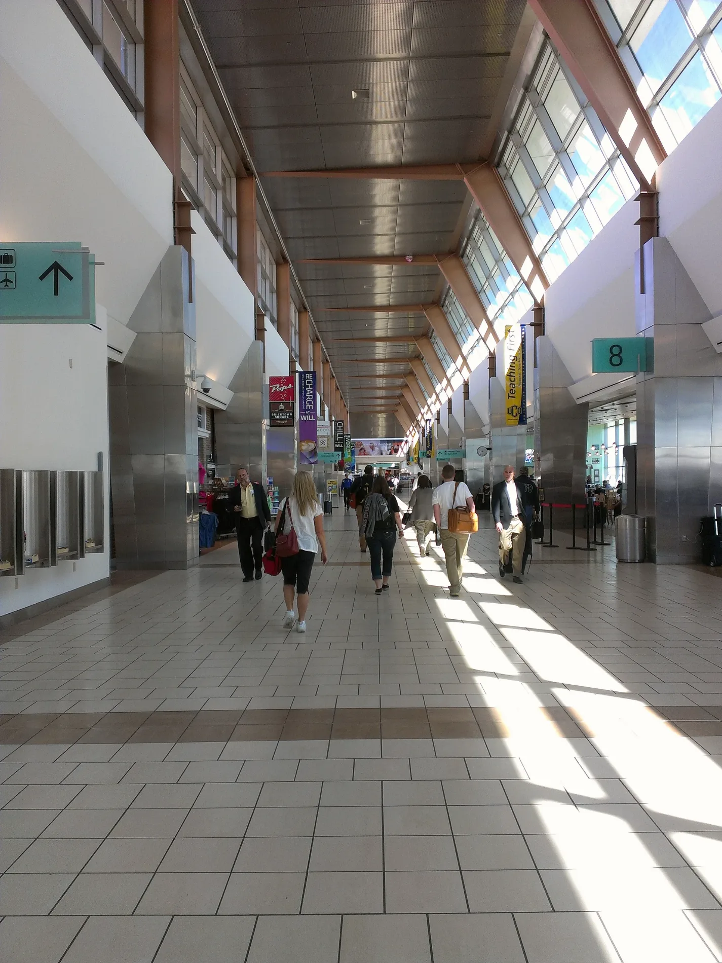
Hotels
Streets nearby
Southwest 89th StreetWendy's, Fulcrum Health and Wellness, Dollar Tree, Love's, Valero, Sonic
0.3 mi
Southwest 92nd Street0.3 mi
South Portland AvenueOklahoma City Household Hazardous Waste Collection Center, Portland Avenue Church, Christs Christian Church, Jordan Baptist Church, OnGo, Carey School
0.3 mi
Maypark Drive0.3 mi
Mayview Circle0.4 mi
South Will Rogers ExpresswayCajun Corner
0.4 mi
Southwest 85th Street0.4 mi
May Park Circle0.4 mi
South Independence AvenueIndependence Avenue Baptist Church, Woodson Park Church-Nazarene
0.4 mi
Southwest 86th Street0.4 mi
Land Avenue0.4 mi
Southwest 93rd Street0.4 mi
Wingspread Drive0.4 mi
Southwest 90th Street0.5 mi
Southwest 84th StreetChurch of Christ
0.5 mi
Maybrook Drive0.5 mi
South Drexel Place0.5 mi
South Brookline AvenueVictory Missionary Baptist Church
0.5 mi
Southwest 83rd Street0.5 mi
South Land Avenue0.5 mi
South May AvenueKingsview Freewill Baptist Church, Oklahoma Chinese Baptist Church, McDonald's, Krave Teriyaki, Boom Town Creamery, Messiah Ministries Church, Sherwood Baptist Church, Pro Power Equipment, CVS Pharmacy
0.5 mi
South Camay Avenue0.6 mi
Carter Court0.6 mi
Southwest 94th Court0.6 mi
Brookline Avenue0.6 mi
Southwest 94th Street0.6 mi
Southwest 96th Street0.6 mi
David Drive0.6 mi
South Rachel Court0.6 mi
Southwest 99th Street0.6 mi
Southwest 95th Street0.6 mi
Southwest 91st Street0.6 mi
Southwest 100th Place0.7 mi
Rachel Street0.7 mi
Southwest 100th Street0.7 mi
South Drexel Avenue0.7 mi
Lands End Court0.8 mi
Jetty Court0.8 mi
Bay Court0.8 mi
Southwest 102nd Terrace0.8 mi
Galway Court0.8 mi
Mail depots nearby
Amazon OKC2 Fullfillment Center0.3 mi
Residential areas nearby
The Erica Apartments0.2 mi
Wingspread0.3 mi
The Hunt0.3 mi
Drexel Flats0.4 mi
Mayfield0.6 mi
Restaurants nearby
Buffalo Wild Wings0.4 mi
Streams nearby
Lost Creek0.7 mi
Public transit map Oklahoma City Legend
| Railway | |
| Bus | |
| Streetcar |
Bicycle map Oklahoma City Legend
| Bike path | |
| Bike lane on roadway | |
| Cycling allowed on bus lane | |
| Bicycle street | |
| Open to cyclists | |
| Open to cyclists, good path | |
| Cycling prohibited | |
| Cobblestone |
| Long-distance bike route | (depending on scale) | |
| Long-distance bike route |
Pedestrian map Oklahoma City Legend
| Path |
| Long-distance hiking trail | (depending on scale) | |
| Long-distance hiking trail | ||
| Pedestrians prohibited |