
East College Avenue in Guthrie, Oklahoma
East College Avenue in Guthrie is a local road. It runs in an east-west direction starting from West College Avenue and crosses North Division Street, North Wentz Street, North Broad Street, North Ash Street, North Oak Street and North Elm Street and ends at North Walnut Street. East College Avenue also exists in Kay County and Custer County.
- Road Type
- residential street
- Speed Limit
- 25 mph
- Route
- east-west
Image
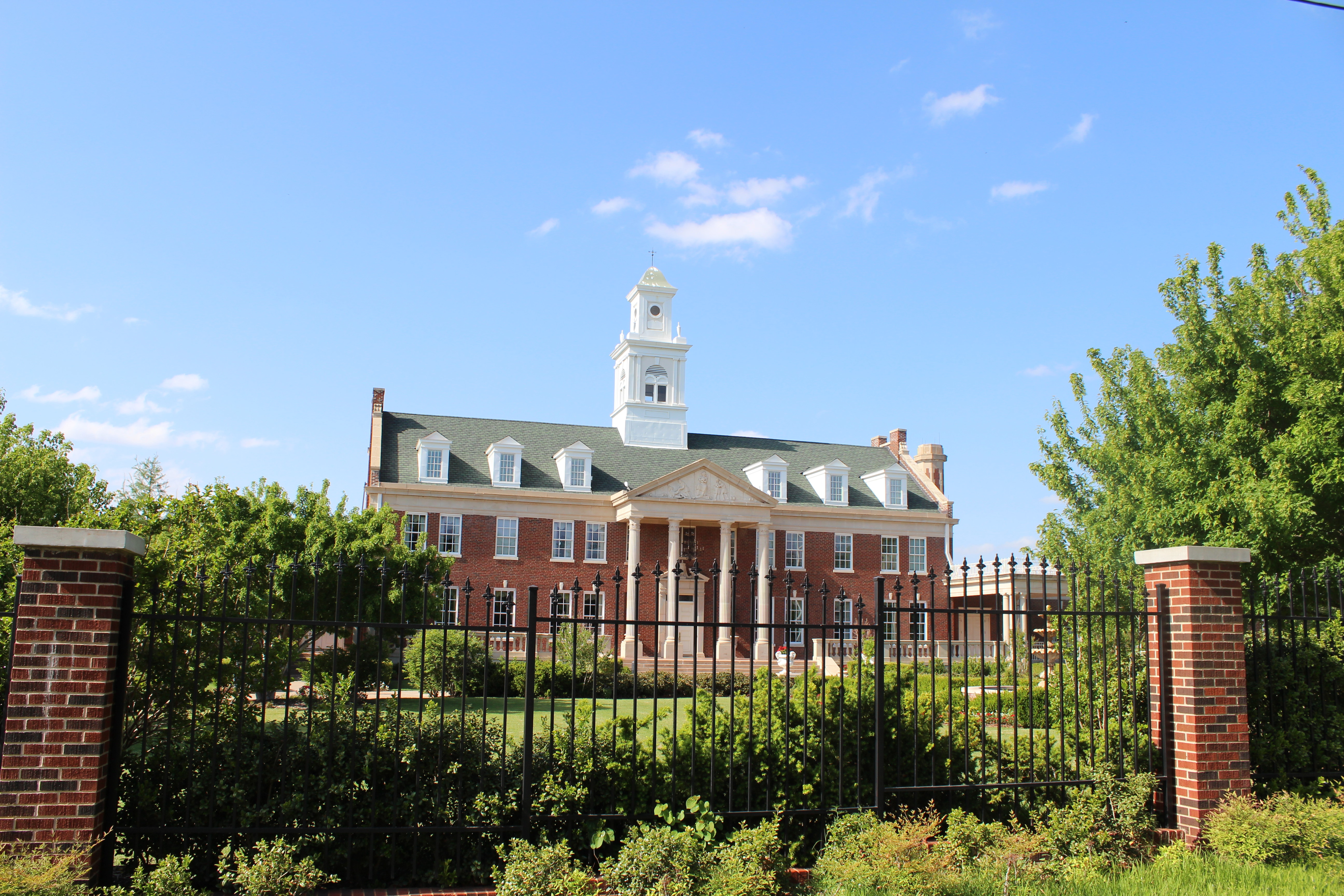
Streets nearby
East Jefferson Avenue0.1 mi
East Logan Avenue0.2 mi
East Washington Avenue0.2 mi
East Jackson Avenue0.2 mi
East Mansur Avenue0.2 mi
North Wentz StreetCash Savers
0.2 mi
North Broad Street0.2 mi
North Walnut Street0.3 mi
Walnut Creek Road0.3 mi
North Oak Street0.3 mi
East Warner Avenue0.3 mi
Magnolia Court0.3 mi
Hamill Lane0.3 mi
West College Avenue0.3 mi
Walker Drive0.3 mi
East Hill Drive0.3 mi
North Park Street0.3 mi
North Division StreetGuthrie
0.4 mi
North Ash Street0.4 mi
Rosebrier Court0.4 mi
East Noble AvenueCash Savers
0.4 mi
West Logan Avenue0.4 mi
West Mansur Avenue0.4 mi
Mockingbird Drive0.4 mi
Fogarty Street0.4 mi
Pin Oak Drive0.4 mi
Walnut Court0.4 mi
East Lamplighter Court0.4 mi
Rosebrier Drive0.4 mi
Cherrywood Drive0.5 mi
North Elm Street0.5 mi
East Jon Street0.5 mi
North Crooks Drive0.5 mi
Mimosa Drive0.5 mi
Mimosa Terrace0.6 mi
G.U.E.S. Circle0.6 mi
Bakeries nearby
Missy's Donut & Bakery0.3 mi
Churches nearby
Zion Lutheran Church0.3 mi
Community centers nearby
The Dominion House450 ft
Parks nearby
Lyons Park0.3 mi
Places of worship nearby
Saint Mary Catholic Church0.3 mi
First Christian Church0.3 mi
Trinity Episcopal Church0.4 mi
Railways nearby
Red Rock Subdivision0.4 mi
Retail areas nearby
Tonys Quick Stop0.2 mi
School buildings nearby
Guthrie High School0.6 mi
Streams nearby
Bird Creek0.2 mi
Other nearby
Fogarty Heights Addition0.3 mi
Hill Park Addition0.3 mi
Public transit map Guthrie Legend
| Railway | |
| Bus | |
| Streetcar |
Bicycle map Guthrie Legend
| Bike path | |
| Bike lane on roadway | |
| Cycling allowed on bus lane | |
| Bicycle street | |
| Open to cyclists | |
| Open to cyclists, good path | |
| Cycling prohibited | |
| Cobblestone |
| Long-distance bike route | (depending on scale) | |
| Long-distance bike route |
Pedestrian map Guthrie Legend
| Path |
| Long-distance hiking trail | (depending on scale) | |
| Long-distance hiking trail | ||
| Pedestrians prohibited |