
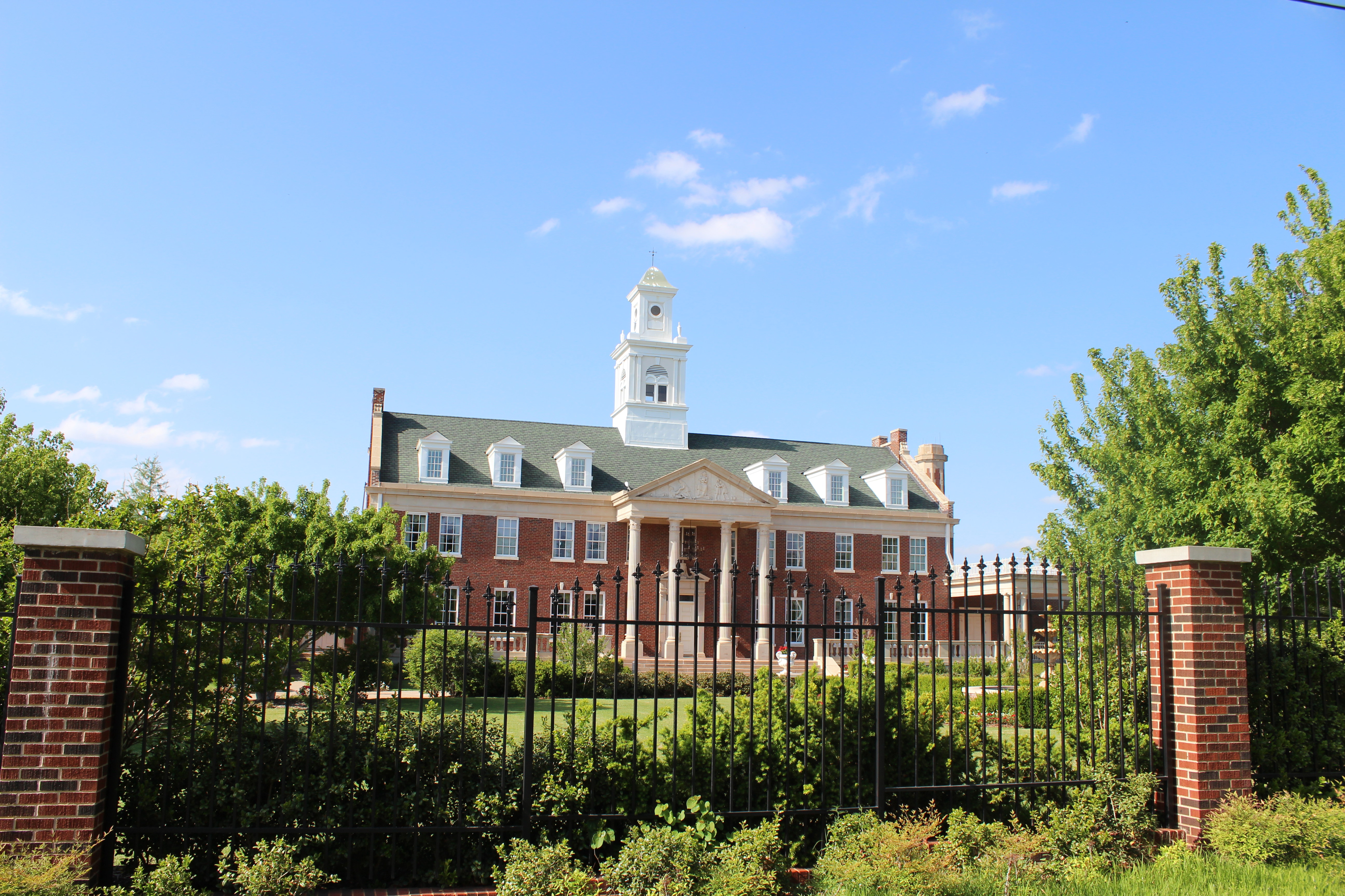
East Washington Avenue in Guthrie, Oklahoma
East Washington Avenue in Guthrie is a residential street. It runs in an east-west direction starting from North Division Street and crosses North Wentz Street, North Broad Street, North Ash Street, North Oak Street and North Elm Street. It ends in a cul-de-sac. East Washington Avenue also exists in Ottawa County, Beckham County, Bryan County, Cotton County and Creek County.
- Road Type
- residential street
- Speed Limit
- 25 mph
- Route
- east-west
Image
Streets nearby
North Broad Street50 ft
North Wentz StreetCash Savers
450 ft
North Ash Street550 ft
East Logan Avenue0.1 mi
East College Avenue0.1 mi
East Jefferson Avenue0.2 mi
West College Avenue0.2 mi
North Division StreetGuthrie
0.2 mi
East Mansur Avenue0.2 mi
West Logan Avenue0.2 mi
East Jackson Avenue0.2 mi
West Mansur Avenue0.2 mi
North Oak Street0.3 mi
East Noble AvenueCash Savers
0.3 mi
West Warner AvenueFirst United Presbyterian Church
0.3 mi
West Noble Avenue0.3 mi
North 2nd Street0.4 mi
East Cleveland Avenue0.4 mi
Mayor Jon Gumerson Memorial Bridge0.4 mi
North 1st Street0.4 mi
North 4th Street0.4 mi
West Cleveland Avenue0.4 mi
Antique stores nearby
Recollections Antiques Mall0.4 mi
Antique Gallery of Guthrie0.4 mi
Cherokee Joe's0.4 mi
Art galleries nearby
Ant Gertrude's House0.4 mi
G Gallery & Glass Studio0.4 mi
Auto parts stores nearby
NAPA Auto Parts0.3 mi
Banks nearby
InterBank0.4 mi
IBC Bank0.4 mi
Buildings nearby
YMCA Guthrie Extension0.4 mi
Churches nearby
Zion Lutheran Church0.2 mi
Libraries nearby
Guthrie Public Library0.4 mi
Pharmacies nearby
Cornwell Pharmacy0.3 mi
Places of worship nearby
Trinity Episcopal Church0.3 mi
First United Methodist Church0.3 mi
Saint Mary Catholic Church0.3 mi
First Christian Church0.3 mi
Public buildings nearby
American Legion Building0.4 mi
Railways nearby
Red Rock Subdivision0.2 mi
Restaurants nearby
Roma's Italian Restaurant0.3 mi
The Stables Cafe0.3 mi
Katie's Diner0.4 mi
Retail areas nearby
Tonys Quick Stop0.1 mi
Sports centers nearby
89er Bowl0.4 mi
Sports halls nearby
Axes of Guthrie0.4 mi
Streams nearby
Cottonwood Creek0.4 mi
Supermarkets nearby
Cash Savers0.3 mi
Other nearby
Fogarty Heights Addition0.1 mi
Public transit map Guthrie Legend
| Railway | |
| Bus | |
| Streetcar |
Bicycle map Guthrie Legend
| Bike path | |
| Bike lane on roadway | |
| Cycling allowed on bus lane | |
| Bicycle street | |
| Open to cyclists | |
| Open to cyclists, good path | |
| Cycling prohibited | |
| Cobblestone |
| Long-distance bike route | (depending on scale) | |
| Long-distance bike route |
Pedestrian map Guthrie Legend
| Path |
| Long-distance hiking trail | (depending on scale) | |
| Long-distance hiking trail | ||
| Pedestrians prohibited |