
Clove Hill Place in Oklahoma City
Clove Hill Place in Oklahoma City is a residential street and it ends at Northwest 172nd Street.
- Road Type
- residential street
- Speed Limit
- 25 mph
Image
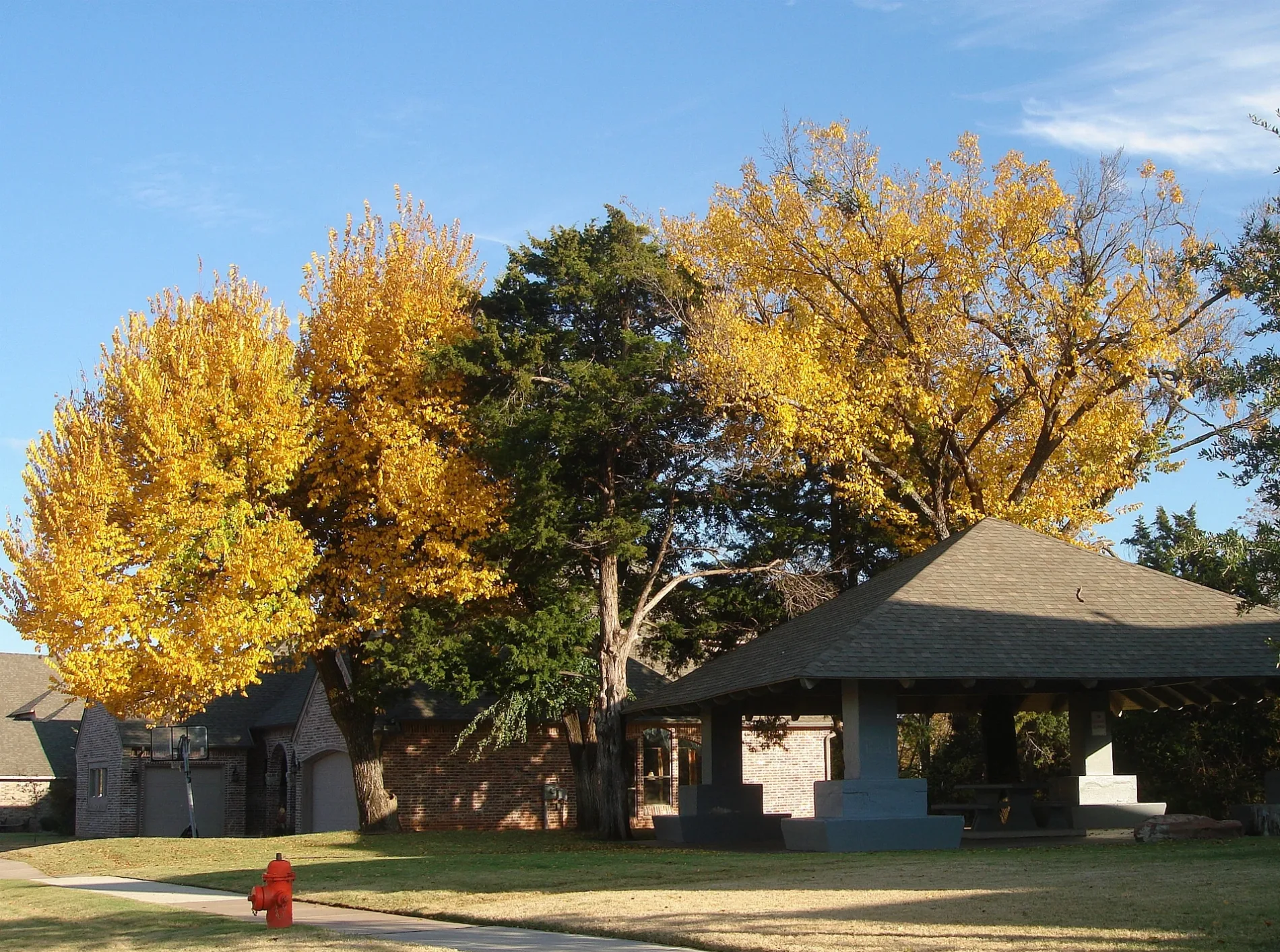
Streets nearby
Grove Hill Terrace300 ft
Wain Bridge Avenue350 ft
Bracken Road350 ft
Parkgrove Drive0.1 mi
Northwest 174th Court0.2 mi
Ladbrooke Place0.2 mi
Locust Grove Lane0.2 mi
Northwest 173rd Terrace0.2 mi
Northwest 175th Court0.2 mi
Northwest 174th Circle0.2 mi
Valley Place0.2 mi
Cranbrook Road0.3 mi
Melville Lane0.3 mi
Northwest 171st Street0.3 mi
Woodsorrel Road0.3 mi
Cedar Drive0.3 mi
Maddock Way0.3 mi
Griffin Drive0.3 mi
Northwest 170th Street0.3 mi
Griffin Park Boulevard0.3 mi
Northwest 173rd Street0.3 mi
Griffin Cove Court0.3 mi
Iron Lane0.4 mi
Griffin Gate Drive0.4 mi
Brass Drive0.4 mi
Northwest 174th Street0.4 mi
Copper Creek Drive0.4 mi
Northwest 175th Street0.4 mi
North Western AvenueHorace Mann Elementary School, Crown Heights United Methodist Church, Freeman's Liquor Mart, VZD's, A Date with Iris, 42nd Street Candy Company, Quick Kleen Laundry, Cafe Nova, Bishop John Carrol Catholic School, Sushi Neko, Heirloom, Guestroom Records, Cock o' the Walk, Sharon's Style Shop, Beck's Garage, Kao Mun Gai, Northwest Automotive, The Barrel, The Drop: Coffee and Bicycle Shop, Millenium Lounge, Saturn Grill, The Metro, Monopole Wine Company, 7-Eleven, Lord of Life Lutheran Church, Anime Island, Farry Boutique, eClips Salon, Diva's Spa & Nails, Marco's Pizza, Smoothie King, Midtown Barber, Jonnies Café
0.5 mi
Northwest 178th StreetCVS Pharmacy, Cafe Sol, Subway
0.5 mi
Northwest 179th Terrace0.5 mi
Northwest 176th Place0.5 mi
Highland Park Road0.5 mi
Northwest 176th Terrace0.5 mi
Northwest 179th Street0.5 mi
Laurel Oak Drive0.6 mi
Northwest 180th Street0.6 mi
Scarlet Oak Court0.6 mi
Chestnut Oak Drive0.6 mi
Buildings nearby
The Summit0.5 mi
Silver Elm Estates0.5 mi
Gas stations nearby
OnCue0.4 mi
Parks nearby
Griffin Park Clubhouse and Green0.1 mi
Pharmacies nearby
Ralph's Family Pharmacy0.5 mi
Places of worship nearby
Edmond Trinity Christian0.3 mi
Restaurants nearby
Upper Crust0.4 mi
Louie's Grill and Bar0.4 mi
Self storages nearby
Extra Space Storage0.3 mi
Waters nearby
Griffin Pond550 ft
 Public transit map Oklahoma City Legend
| Railway | |
| Bus | |
| Streetcar |
 Bicycle map Oklahoma City Legend
| Bike path | |
| Bike lane on roadway | |
| Cycling allowed on bus lane | |
| Bicycle street | |
| Open to cyclists | |
| Open to cyclists, good path | |
| Cycling prohibited | |
| Cobblestone |
| Long-distance bike route | (depending on scale) | |
| Long-distance bike route |
 Pedestrian map Oklahoma City Legend
| Path |
| Long-distance hiking trail | (depending on scale) | |
| Long-distance hiking trail | ||
| Pedestrians prohibited |