
Northwest 170th Street in Oklahoma City
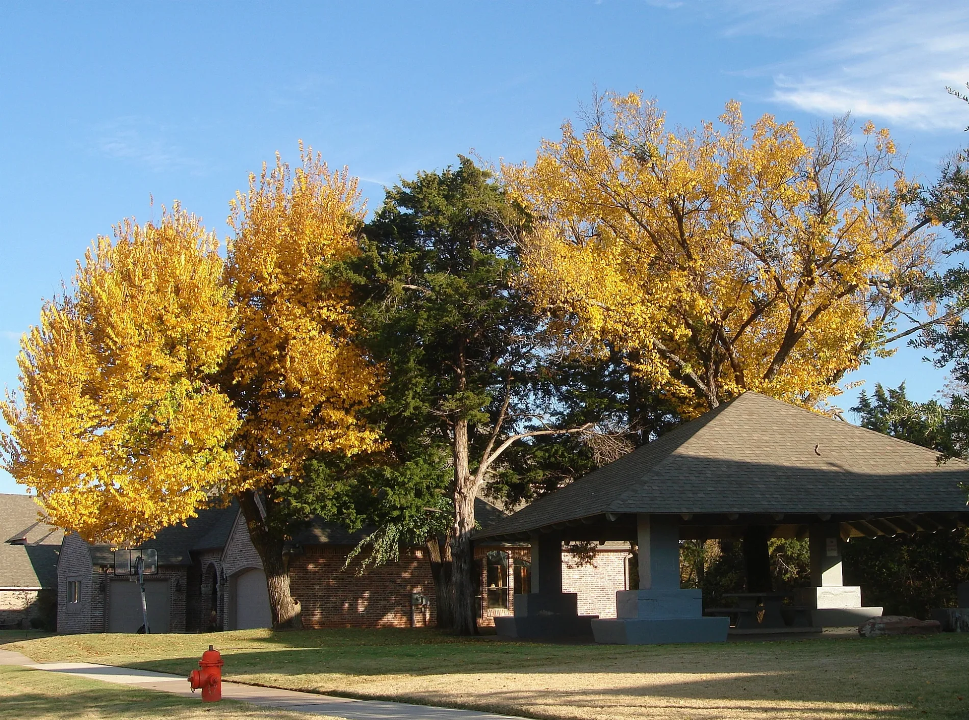
Northwest 170th Street in Oklahoma City is a residential street and runs in an east-west direction starting from Applebrook Drive and crosses Valley Lane and ends at Crest Valley.
- Road Type
- residential street
- Speed Limit
- 25 mph
- Route
- east-west
Image
Streets nearby
Apple Tree Drive250 ft
Northwest 171st Terrace300 ft
Northwest 171st Place350 ft
Cedar Drive400 ft
Northwest 172nd Terrace500 ft
Northwest 172nd Street0.1 mi
Valley Lane0.1 mi
Northwest 168th Street0.1 mi
Valley Place0.1 mi
Applebrook Drive0.1 mi
Northwest 167th Street0.2 mi
North Western AvenueAnime Island, Farry Boutique, eClips Salon, Diva's Spa & Nails, Horace Mann Elementary School, Crown Heights United Methodist Church, Freeman's Liquor Mart, VZD's, A Date with Iris, 42nd Street Candy Company, Quick Kleen Laundry, Cafe Nova, Bishop John Carrol Catholic School, Sushi Neko, Heirloom, Guestroom Records, Cock o' the Walk, Sharon's Style Shop, Beck's Garage, Kao Mun Gai, Northwest Automotive, The Barrel, The Drop: Coffee and Bicycle Shop, Millenium Lounge, Saturn Grill, The Metro, Monopole Wine Company, 7-Eleven, Lord of Life Lutheran Church, Marco's Pizza, Smoothie King, Midtown Barber, Jonnies Café
0.2 mi
Valley Court0.2 mi
Halbrooke Circle0.2 mi
Ladbrooke Place0.2 mi
Sumac Drive0.2 mi
Northwest 166th Terrace0.2 mi
Rose Hollow Drive0.3 mi
Northwest 173rd Street0.3 mi
Northwest 171st Street0.3 mi
Crest Valley0.3 mi
Northwest 166th StreetNguyen Tailor Shop
0.3 mi
Applewood Drive0.3 mi
Northwest 169th Street0.3 mi
Claybridge Circle0.3 mi
Sun River Court0.3 mi
Northwest 172nd Place0.3 mi
Parkhurst Road0.3 mi
Sunny Hollow Road0.3 mi
Crab Apple Place0.3 mi
Clove Hill Place0.3 mi
Halbrooke Road0.3 mi
Wain Bridge Avenue0.4 mi
Cedarwood Drive0.4 mi
Northwest 174th Street0.4 mi
Bracken Road0.4 mi
Grove Hill Terrace0.4 mi
Northwest 164th Street7-Eleven, MIRASTAR, BRAUMS
0.4 mi
Northwest 175th Street0.4 mi
Woodsorrel Road0.5 mi
Car washes nearby
Club Car Wash0.5 mi
Dry cleaners nearby
Tide Cleaners0.5 mi
Fast food restaurants nearby
Salad and Go0.4 mi
Parks nearby
The Valley Park0.2 mi
Playgrounds nearby
The Valley Plaground0.2 mi
Streams nearby
Chisholm Creek0.4 mi
Supermarkets nearby
Walmart Neighborhood Market0.4 mi
Natural Grocers0.5 mi
Waters nearby
Griffin Pond0.2 mi
Public transit map Oklahoma City Legend
| Railway | |
| Bus | |
| Streetcar |
Bicycle map Oklahoma City Legend
| Bike path | |
| Bike lane on roadway | |
| Cycling allowed on bus lane | |
| Bicycle street | |
| Open to cyclists | |
| Open to cyclists, good path | |
| Cycling prohibited | |
| Cobblestone |
| Long-distance bike route | (depending on scale) | |
| Long-distance bike route |
Pedestrian map Oklahoma City Legend
| Path |
| Long-distance hiking trail | (depending on scale) | |
| Long-distance hiking trail | ||
| Pedestrians prohibited |