
Otter Creek Drive in Oklahoma City
Otter Creek Drive in Oklahoma City is a residential street (private) and it runs in a north-south direction starting from Hunter Creek and ends at Mulholland Drive.
- Road Type
- residential street
- Speed Limit
- 25 mph
- Route
- north-south
Image
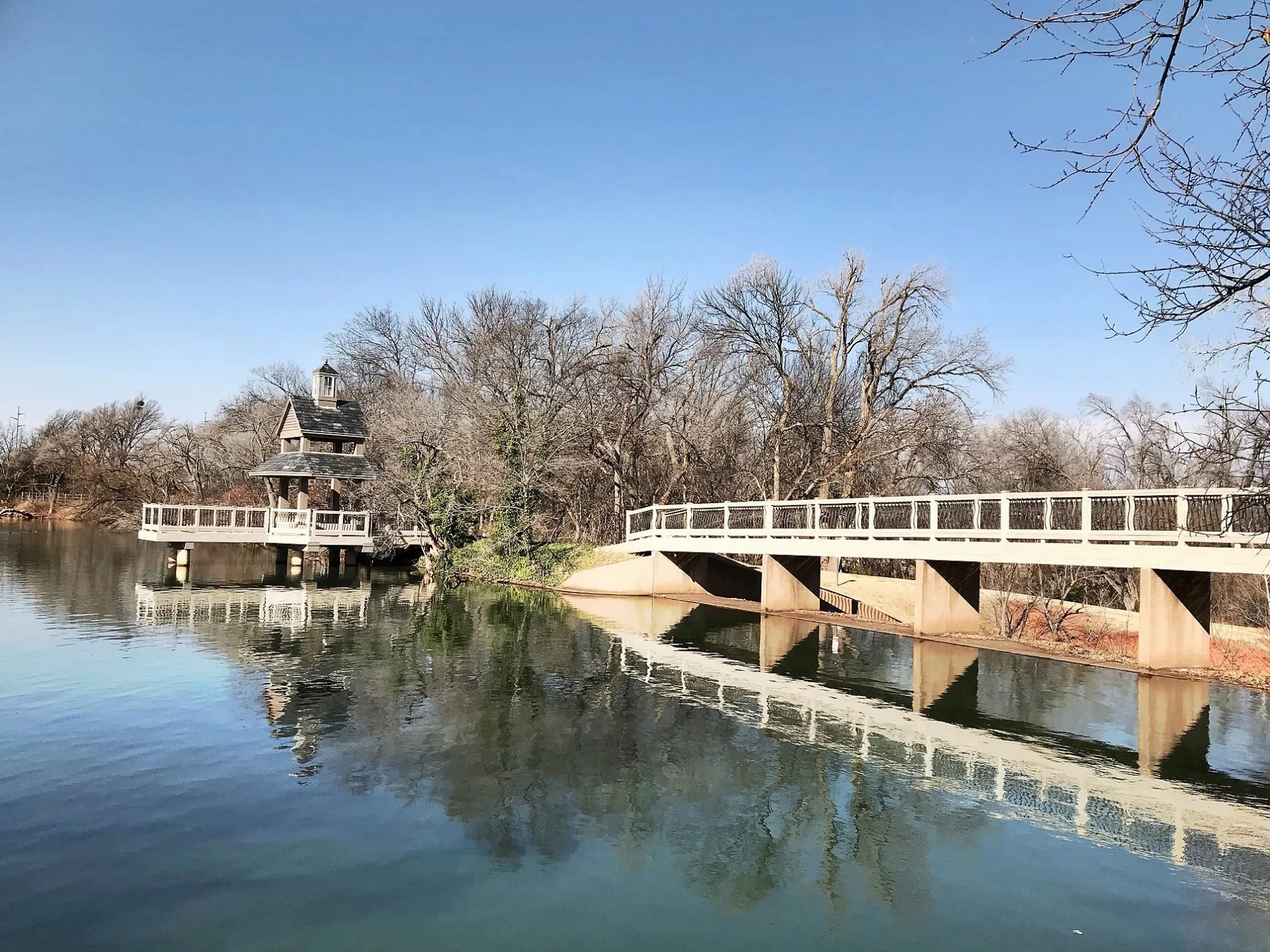
Streets nearby
Hunter Creek500 ft
Woody Creek Drive0.1 mi
Mulholland Drive0.2 mi
Saddle River Drive0.2 mi
Wolf Creek Drive0.3 mi
North Pennsylvania AvenueCasey's General Store, Village Pizza, La Morenita Taquería y Paletería, Liberty Tax, Express Wine & Liquor, Crown Liquor, Saint George Greek Orthodox Church, Dental Depot, Dental Depot Orthodontics, Chipotle, Asurion Tech Repair & Solutions, Long John Silver's, Schlotzsky's, Nick's, Pizza Zone, Taco Nuevo, Sonic, QUAIL SPRINGS UMC, CAR WASH, Torchy's Tacos, Dollar Tree, China House, Verizon
0.3 mi
Neri Drive0.3 mi
Authumn Meadows Drive0.3 mi
Diego Place0.3 mi
Northwest 193rd Circle0.3 mi
Northwest 185th Street0.4 mi
Northwest 194th Circle0.4 mi
Alberto Place0.4 mi
Cade Court0.4 mi
Northwest 191st Street0.4 mi
Northwest 192nd Terrace0.4 mi
Autumn Sage Drive0.4 mi
Thornhill Boulevard0.4 mi
Dartmoor Boulevard0.4 mi
Chestermere Circle0.4 mi
Northwest 190th Street0.4 mi
Chestnut Oak Drive0.4 mi
Northwest 189th Street0.4 mi
Northwest 195th Circle0.4 mi
Danforth Farms BoulevardDanforth Farms West
0.5 mi
English Oak Lane0.5 mi
Northwest 188th Street0.5 mi
Autumn Meadows Drive0.5 mi
Northwest 196th Street0.5 mi
Northwest 182nd Street0.5 mi
Northwest 187th Street0.5 mi
Yearling Way0.5 mi
Pawtucket Lane0.6 mi
Arbor Lane0.6 mi
Shilstone Way0.6 mi
Stubblefield Lane0.6 mi
Northwest 194th TerraceStubblefield
0.6 mi
Providence Avenue0.6 mi
Northwest 186th Street0.6 mi
Northwest 184th Street0.6 mi
Northwest 181st Street0.6 mi
Northwest 183rd Street0.6 mi
Northwest 183rd Terrace0.6 mi
Scarlet Oak Lane0.6 mi
Northwest 179th Street0.6 mi
Barrington Drive0.7 mi
Convenience stores nearby
Casey's General Store0.4 mi
Streams nearby
Chisholm Creek0.6 mi
Waters nearby
J-M Ranch Lake0.1 mi
Public transit map Oklahoma City Legend
| Railway | |
| Bus | |
| Streetcar |
Bicycle map Oklahoma City Legend
| Bike path | |
| Bike lane on roadway | |
| Cycling allowed on bus lane | |
| Bicycle street | |
| Open to cyclists | |
| Open to cyclists, good path | |
| Cycling prohibited | |
| Cobblestone |
| Long-distance bike route | (depending on scale) | |
| Long-distance bike route |
Pedestrian map Oklahoma City Legend
| Path |
| Long-distance hiking trail | (depending on scale) | |
| Long-distance hiking trail | ||
| Pedestrians prohibited |