
Northwest 195th Circle in Oklahoma City
Northwest 195th Circle in Oklahoma City is a residential street. It runs in an east-west direction and ends at Thornhill Boulevard, while the other end is a cul-de-sac.
- Road Type
- residential street
- Speed Limit
- 25 mph
- Route
- east-west
Image
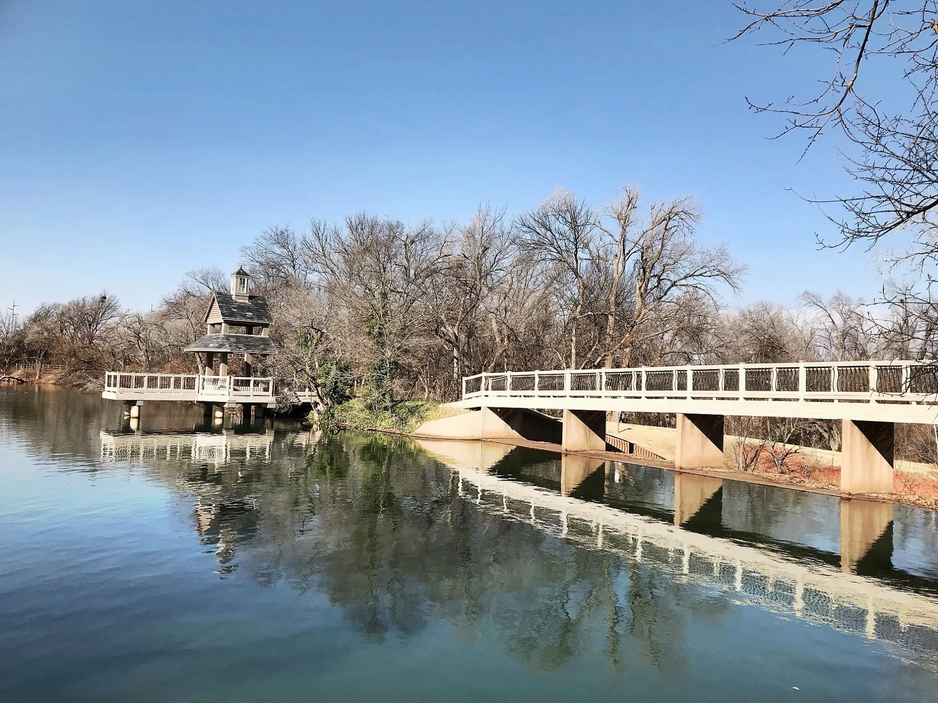
Streets nearby
Thornhill Boulevard200 ft
Northwest 194th Circle0.1 mi
Northwest 193rd Circle0.1 mi
Cade Court0.1 mi
Chestermere Circle0.2 mi
Yearling Way0.2 mi
Talavera LAne0.2 mi
Mulholland Drive0.2 mi
Filly Drive0.2 mi
Stratmore Way0.3 mi
Coverton Way0.3 mi
Danforth Farms BoulevardDanforth Farms West
0.3 mi
Northwest 192nd Terrace0.3 mi
Stubblefield Lane0.3 mi
Dartmoor Boulevard0.3 mi
Northwest 197th Circle0.3 mi
Chestnut Oak Drive0.3 mi
Northwest 191st Street0.4 mi
Northwest 196th Street0.4 mi
North Pennsylvania AvenueVillage Pizza, La Morenita Taquería y Paletería, Liberty Tax, Express Wine & Liquor, Crown Liquor, Saint George Greek Orthodox Church, Dental Depot, Dental Depot Orthodontics, Chipotle, Asurion Tech Repair & Solutions, Long John Silver's, Schlotzsky's, Nick's, Pizza Zone, Taco Nuevo, Sonic, Casey's General Store, QUAIL SPRINGS UMC, CAR WASH, Torchy's Tacos, Dollar Tree, China House, Verizon
0.4 mi
Northwest 198th Street0.4 mi
Northwest 193rd Street0.4 mi
Dalemead Way0.4 mi
Corral Place0.4 mi
Thornhaven Drive0.4 mi
Northwest 194th TerraceStubblefield
0.4 mi
Otter Creek Drive0.4 mi
Lariet Drive0.5 mi
Northwest 197th StreetDanforth Farms
0.5 mi
Northwest 192nd StreetOkoboji Veterinary Hospital, Donuts Bakery, GetWell Rx Pharmacy, Schlotzsky's
0.5 mi
Northwest 196th Terrace0.5 mi
Lariat Drive0.5 mi
Bridle Drive0.5 mi
Northwest 199th Street0.5 mi
Adagio Lane0.5 mi
Currant Drive0.5 mi
Northwest 195th Street0.5 mi
Explorer Drive0.5 mi
Heavenly Drive0.6 mi
Sutton Place0.6 mi
Allergando Lane0.6 mi
Sonatina Drive0.6 mi
Bretton Lane0.7 mi
Buildings nearby
Exceptional Carpet Cleaning0.4 mi
Convenience stores nearby
Casey's General Store0.5 mi
Schools nearby
Heartland Middle School0.5 mi
Frontier Elementary School0.6 mi
Swimming pools nearby
Danforth Farms Neighborhood Pool0.2 mi
Waters nearby
J-M Ranch Lake0.4 mi
 Public transit map Oklahoma City Legend
| Railway | |
| Bus | |
| Streetcar |
 Bicycle map Oklahoma City Legend
| Bike path | |
| Bike lane on roadway | |
| Cycling allowed on bus lane | |
| Bicycle street | |
| Open to cyclists | |
| Open to cyclists, good path | |
| Cycling prohibited | |
| Cobblestone |
| Long-distance bike route | (depending on scale) | |
| Long-distance bike route |
 Pedestrian map Oklahoma City Legend
| Path |
| Long-distance hiking trail | (depending on scale) | |
| Long-distance hiking trail | ||
| Pedestrians prohibited |