
Northwest 193rd Street in Stubblefield, Oklahoma City, Oklahoma
Northwest 193rd Street in Stubblefield in Oklahoma City is a residential street (private). It runs in an east-west direction starting from Yearling Way and crosses Danforth Farms Boulevard and Stubblefield Lane. It connects Stubblefield and Danforth Farms West.
- Road Type
- residential street
- Speed Limit
- 25 mph
- Route
- east-west
Image
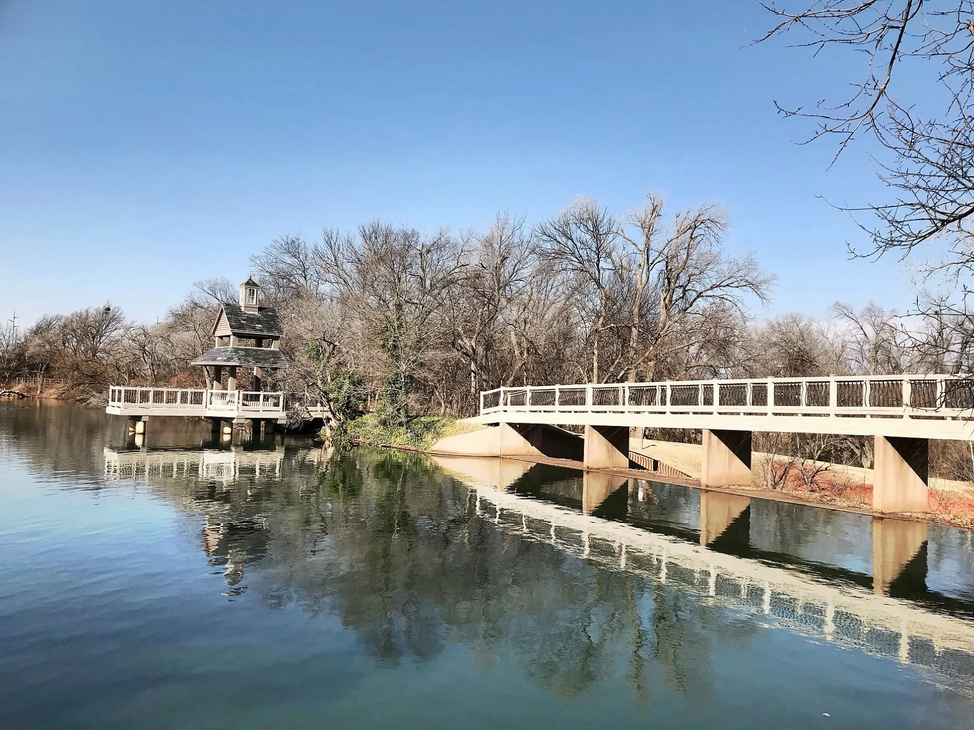
Streets nearby
Northwest 192nd StreetOkoboji Veterinary Hospital, Donuts Bakery, GetWell Rx Pharmacy, Schlotzsky's
350 ft
Northwest 194th TerraceStubblefield
450 ft
Stubblefield Lane550 ft
Canyon Creek Place0.2 mi
Northwest 194th Street0.2 mi
Dartmoor Boulevard0.2 mi
Northwest 192nd Terrace0.2 mi
Yearling Way0.2 mi
Northwest 190th Street0.2 mi
Northwest 195th Street0.2 mi
Danforth Farms BoulevardDanforth Farms West
0.2 mi
Northwest 196th Street0.3 mi
Cade Court0.3 mi
Bridle Drive0.3 mi
Filly Drive0.3 mi
Northwest 190th Place0.3 mi
North Western AvenueHorace Mann Elementary School, Crown Heights United Methodist Church, Freeman's Liquor Mart, VZD's, A Date with Iris, 42nd Street Candy Company, Quick Kleen Laundry, Cafe Nova, Bishop John Carrol Catholic School, Sushi Neko, Heirloom, Guestroom Records, Cock o' the Walk, Sharon's Style Shop, Beck's Garage, Kao Mun Gai, Northwest Automotive, The Barrel, The Drop: Coffee and Bicycle Shop, Millenium Lounge, Saturn Grill, The Metro, Monopole Wine Company, 7-Eleven, Lord of Life Lutheran Church, Anime Island, Farry Boutique, eClips Salon, Diva's Spa & Nails, Marco's Pizza, Smoothie King, Midtown Barber, Jonnies Café
0.3 mi
Northwest 189th Street0.3 mi
Lariet Drive0.3 mi
Northwest 197th StreetDanforth Farms
0.3 mi
Northwest 197th Circle0.4 mi
Thornhill Boulevard0.4 mi
Northwest 188th Street0.4 mi
Shilstone Way0.4 mi
Northwest 191st Street0.4 mi
Northwest 193rd Circle0.4 mi
Harness Court0.4 mi
Northwest 195th Circle0.4 mi
Lariat Drive0.4 mi
Chestnut Oak Drive0.4 mi
Corral Place0.4 mi
Northwest 198th Street0.4 mi
Northwest 199th Street0.4 mi
Northwest 187th Street0.4 mi
Northwest 187th Circle0.4 mi
Northwest 194th Circle0.5 mi
Northwest 187th Place0.5 mi
Saddle River Drive0.5 mi
Northwest 186th Street0.5 mi
Coverton Way0.5 mi
Woody Creek Drive0.6 mi
Chestermere Circle0.6 mi
Mulholland Drive0.6 mi
Otter Creek Drive0.6 mi
Northwest 185th Street0.6 mi
Buildings nearby
Exceptional Carpet Cleaning100 ft
Fast food restaurants nearby
Sonic0.3 mi
Streams nearby
Chisholm Creek0.1 mi
Swimming pools nearby
Danforth Farms Neighborhood Pool0.2 mi
Public transit map Stubblefield Legend
| Railway | |
| Bus | |
| Streetcar |
Bicycle map Stubblefield Legend
| Bike path | |
| Bike lane on roadway | |
| Cycling allowed on bus lane | |
| Bicycle street | |
| Open to cyclists | |
| Open to cyclists, good path | |
| Cycling prohibited | |
| Cobblestone |
| Long-distance bike route | (depending on scale) | |
| Long-distance bike route |
Pedestrian map Stubblefield Legend
| Path |
| Long-distance hiking trail | (depending on scale) | |
| Long-distance hiking trail | ||
| Pedestrians prohibited |