
South Elwood Avenue in Tulsa, Oklahoma
South Elwood Avenue in Tulsa is a footpath and it runs in a north-south direction starting from North Elwood Avenue and ends at West 1st Street South. South Elwood Avenue also exists in Jenks and Glenpool.
- Road Type
- residential street
- Speed Limit
- 25 mph
- Route
- north-south
Image
Streets nearby
North Elwood Avenue250 ft
North Denver Avenue West(7167) Denver Ave & Edison ST SB, (7168) Denver Ave & Easton ST SB, (7169) Denver Ave & Reconciliation Way S, Denver Avenue & Archer Street, Denver Avenue & Cameron Street, (7117) Denver Ave & Easton ST NB
450 ft
South Denver Avenue West(8186) Denver Ave. & 8th St. NB, (8819) S Denver Ave & W 7th St S SB, BOK Center, Arena Pub & Grill, Denver Avenue Station, (7115) DENVER AVE & 2ND ST NB, (8189) Denver Ave. & 5th St. NB, (8820) S Denver Ave & W 11th St S SB, (8185) Denver Ave. & 11th St. NB, Denver Avenue & 15th Street, QuikTrip, Riverview, Denver Avenue & 14th Street, Cosmopolitan Apartments
450 ft
South Frisco Avenue500 ft
North Denver AvenueMelrose Place
500 ft
West Archer Street(8377) Archer St & Elwood Ave WB, (7467) Archer St & Main St WB, (8378) Archer St & Maybelle Ave WB, (8376) W Archer St & N ELWOOD Ave EB
0.1 mi
West Heavy Traffic Way South0.1 mi
West 2nd Street South(7171) 2nd St & Denver Ave EB, Kickers, (7363) 2nd St & CHEYENNE Ave EB
0.2 mi
North Guthrie Avenue0.2 mi
West Reconciliation WaySisserou's Caribbean Restaurant & Catering
0.2 mi
West 3rd Street SouthDenver Avenue Station, Rosa, 3rd Street & Denver Avenue, (7656) 3rd St & Boulder Ave WB, 3rd Street & Boulder Avenue, Cafe René, 4th Street & Frisco Avenue, BOK Box Office, (7608) 3rd St & BOULDER AVE EB
0.2 mi
South Guthrie Avenue West0.2 mi
South Lawton Avenue0.2 mi
West Brady Street0.2 mi
West 4th Street South(8044) 4th St & 38th W Ave WB, Domino's, Ruby D's Burger Joint, Page Belcher Federal Building, Denver Avenue Station, Oprah's Downtown Lounge, 4th Street & 36th Avenue, 4th Street & 34th Avenue, (8043) 4th St & 35th W Ave WB
0.3 mi
North Lawton Avenue0.3 mi
South Houston Avenue WestHouston Avenue & 3rd Street, (8240) Houston Ave & 3rd St NB, Walgreens
0.3 mi
North Maybelle Avenue0.3 mi
42nd "Rainbow" Infantry Division Memorial Highway0.3 mi
Charles Page Boulevard(8041) Charles page Blvd & 28th W Ave WB, Charles Page Boulevard & 28th Avenue, Charles Page Boulevard & 33rd Avenue, (8052) Charles Page Blvd & 51st W Ave WB, (8053) Charles Page Blvd & 53rd W Ave WB, (8054) Charles Page Blvd & 57th W Ave WB, Glide, The Cave House
0.3 mi
North Nogales Avenue(8030) Country Club Dr & Marshall St NB
0.3 mi
South Nogales Avenue WestGarden City, Eugene Field
0.4 mi
West Admiral Boulevard0.4 mi
Martin Luther King, Junior Memorial ExpresswayDollar Tree, Tamale Boys, Family Dollar, Assist Wireless, Westside Flowers, AutoZone
0.4 mi
South Olympia Avenue WestOlympia Avenue & 77th Street, LensCrafters, Tulsa Hills Shopping Center, Commerce Bank, Olympia Avenue & Town Center Drive, Tesla Supercharger, Crosbie Heights, Sam's Club, Olympia Avenue & 81st Street, (8221) OLYMPIA AVE & TOWN CENTER DR. SB
0.4 mi
West 1st Street South(8391) 1st St & Boulder Ave WB
0.4 mi
West 7th Street0.5 mi
Shops nearby
OTASCO Warehouse0.1 mi
Buildings nearby
Avalon Correctional Services500 ft
Amigo Bail Bonds0.1 mi
Iron Gate0.1 mi
Salvation Army0.1 mi
Ringgold Bail Bonds0.2 mi
Cimarex Tower0.2 mi
One Place0.2 mi
Doyle Davis Bail Bonds0.2 mi
Affordable Bail Bonds0.2 mi
Vicinity Energy0.2 mi
Commercial buildings nearby
Arvest Convention Center0.3 mi
Courthouses nearby
Page Belcher Federal Building0.3 mi
Hotels nearby
Aloft Hotel0.3 mi
Office buildings nearby
Crossland Construction Company0.3 mi
Places of worship nearby
Nogales Avenue Baptist Church0.4 mi
Police stations nearby
Tulsa County Sheriff's Office300 ft
Railways nearby
Cherokee Subdivision450 ft
Sand Springs Railway0.4 mi
Residential areas nearby
Hewgley Terrace0.5 mi
Social facilities nearby
Tulsa Day Center for the Homeless0.1 mi
Stadiums nearby
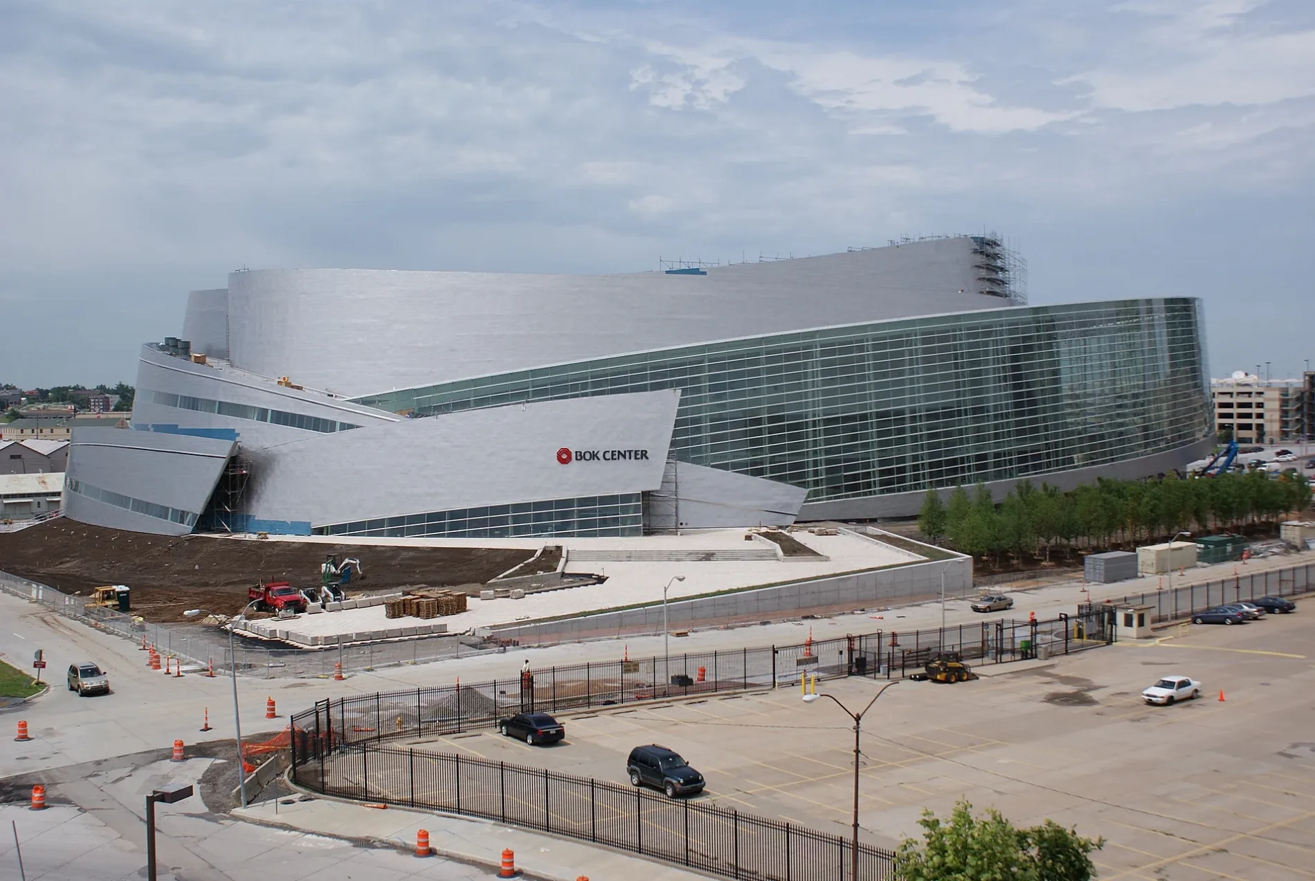
BOK Center0.2 mi
Public transit map Tulsa Legend
| Railway | |
| Bus | |
| Streetcar |
Bicycle map Tulsa Legend
| Bike path | |
| Bike lane on roadway | |
| Cycling allowed on bus lane | |
| Bicycle street | |
| Open to cyclists | |
| Open to cyclists, good path | |
| Cycling prohibited | |
| Cobblestone |
| Long-distance bike route | (depending on scale) | |
| Long-distance bike route |
Pedestrian map Tulsa Legend
| Path |
| Long-distance hiking trail | (depending on scale) | |
| Long-distance hiking trail | ||
| Pedestrians prohibited |