
South Denver Avenue West in Tulsa, Oklahoma
South Denver Avenue West in Tulsa is a two-lane, concrete footpath. The condition of the road surface is fair. It runs in a southeast-northwest direction starting from North Denver Avenue West and crosses West 1st Street South, South Denver Avenue, West 5th Street South, West 4th Street South, West 3rd Street South and West 2nd Street South. Nearby you can find among others 2 vending machines, a bicycle parking, a bar and a public toilet. The nearest stops include Denver Avenue & 7th Street, Denver Avenue & 8th Street, Denver Avenue & 11th Street, Denver Avenue & 2nd Street and Denver Avenue & 5th Street. The bus lines 110, 114, 130, 140, 150, 201 and 250 serve this stop.
- Road Type
- secondary road
- Speed Limit
- 25 mph
- Lanes
- 2
- Route
- southeast-northwest
Image
Bars
Ticket offices
Parking entrances
Bus stops
- bus lines 110, 114, 130, 140, 150, 201, 250
Streets nearby
South Cheyenne Avenue WestDenver Avenue Station, Fresa Fusion Kitchen, Ti Amo, Cheyenne Avenue & 5th Street, Oakshire
550 ft
West 1st Street South1st Street & Boulder Avenue
0.1 mi
South Boulder Avenue WestBoulder Avenue & 15th Street, Boulder Avenue & 2nd Street, Boulder Avenue & 18th Street, Downtown Tulsa, Tuly's Tacos, Steakfinger House, Cherry Street Kitchen and Catering, Bank of America, Arvest Bank, Summit Club, Boulder Avenue & 21st Street, Blue Sky Bank, Boulder Avenue & 17th Street
0.1 mi
West 3rd Street SouthDenver Avenue Station, Rosa, 3rd Street & Denver Avenue, 3rd Street & Boulder Avenue, Rozay's Wings, 4th Street & Frisco Avenue, BOK Box Office
0.1 mi
South Frisco Avenue0.2 mi
1st Street South0.2 mi
South Main StreetMain Street & 10th Street
0.2 mi
South Main Street EastEerie Abbey Taphouse
0.2 mi
West 4th Street South4th Street & 38th Avenue, Domino's, Ruby D's Burger Joint, Serenity Center for the Arts, Alb & Marié Grace Design House, Page Belcher Federal Building, Denver Avenue Station, Orpha's Downtown Lounge, Take 2 Cafe, 4th Street & 36th Avenue, 4th Street & 35th Avenue, 4th Street & 34th Avenue
0.2 mi
East 2nd Street South2nd Street South, 2nd Street & Main Street, Topeca Coffee, 2nd Street & Cincinnati Avenue, Bank of Oklahoma
0.3 mi
South Denver Avenue0.3 mi
West 5th Street SouthCharles Page Boulevard & 33rd Avenue, Polar Bear
0.3 mi
South Elwood Avenue0.3 mi
Apartment buildings nearby
Wright Building0.2 mi
Adams Building0.3 mi
Beacon Building0.3 mi
The Palace0.3 mi
Buildings nearby
Cimarex Tower0.1 mi
Commercial buildings nearby
Mid-Co0.2 mi
JD Young0.2 mi
Courthouses nearby
Federal Building0.2 mi
Page Belcher Federal Building0.2 mi
Hotels nearby
Hampton Inn & Suites0.2 mi
Hyatt Regency0.2 mi
Mayo Hotel0.3 mi
Aloft Hotel0.3 mi
Residence Inn0.3 mi
Industrial areas nearby
Denver Substation350 ft
Libraries nearby
Central Library0.3 mi
Office buildings nearby
One Place0.1 mi
Williams Tower I0.2 mi
Williams Tower II0.2 mi
Tulsa World0.3 mi
Parker Building0.3 mi
Holarud Building0.3 mi
Garrett Law Building0.3 mi
Pythian Building0.3 mi
ONEOK Plaza0.3 mi
Parking lots nearby
100 West Parking0.1 mi
Mayo Motor Inn0.2 mi
Main Park Plaza0.3 mi
Police stations nearby
Tulsa County Sheriff's Office200 ft
Railways nearby
Cherokee Subdivision400 ft
Tulsa Subdivision0.2 mi
Self storages nearby
JustStorage0.1 mi
Stadiums nearby
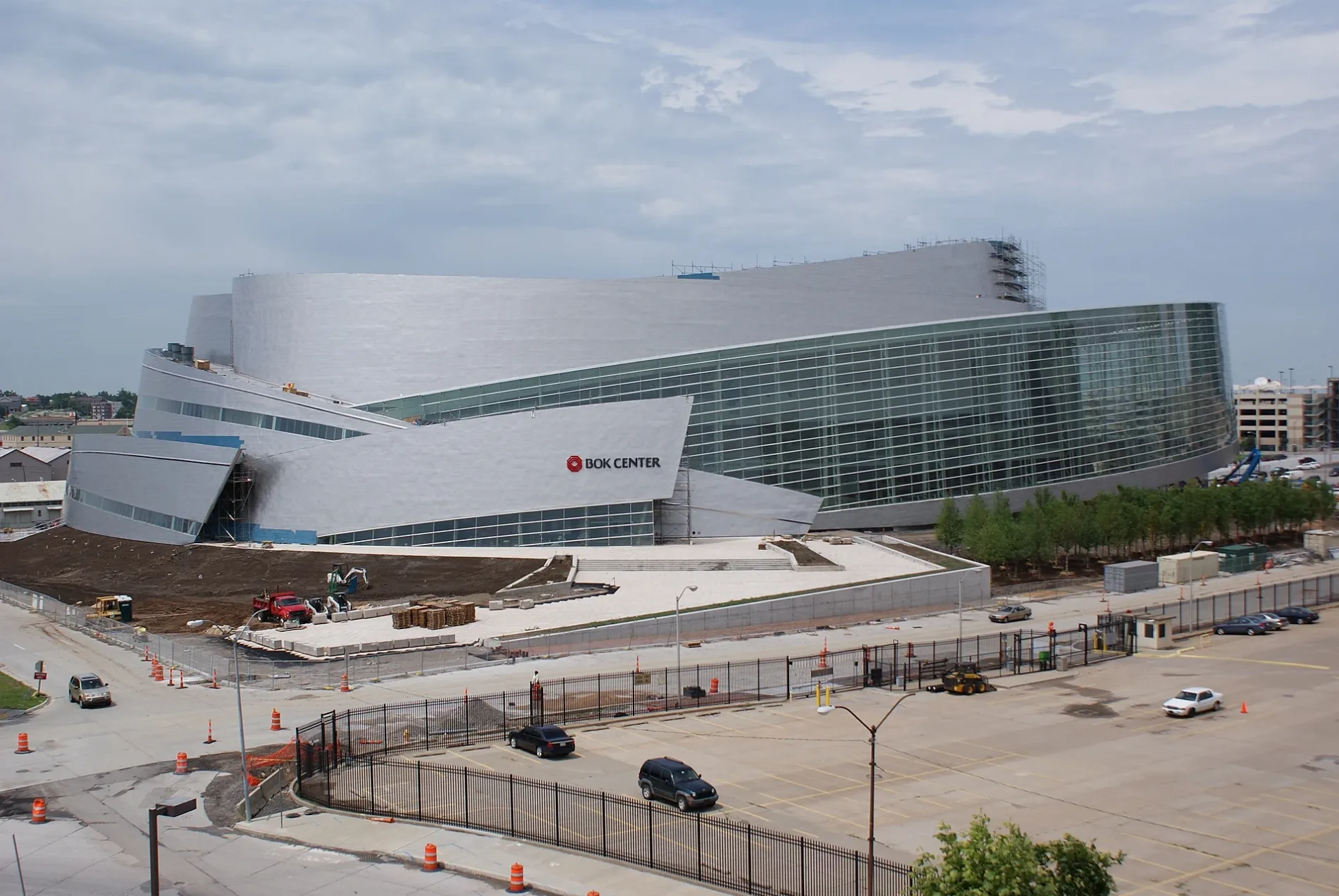
BOK Center0.1 mi
Stations nearby
Denver Avenue Station0.2 mi
Warehouses nearby
Gradient0.1 mi
Other nearby
Civic Center Plaza0.3 mi
Public transit map Tulsa Legend
| Railway | |
| Bus | |
| Streetcar |
Bicycle map Tulsa Legend
| Bike path | |
| Bike lane on roadway | |
| Cycling allowed on bus lane | |
| Bicycle street | |
| Open to cyclists | |
| Open to cyclists, good path | |
| Cycling prohibited | |
| Cobblestone |
| Long-distance bike route | (depending on scale) | |
| Long-distance bike route |
Pedestrian map Tulsa Legend
| Path |
| Long-distance hiking trail | (depending on scale) | |
| Long-distance hiking trail | ||
| Pedestrians prohibited |