
Southeast 38th Avenue in Ardenwald, Oregon
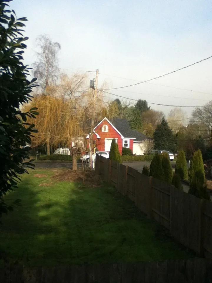
Southeast 38th Avenue in Ardenwald in Milwaukie is an asphalted residential street. No sidewalks. It runs in a north-south direction starting from Southeast Hazel Street and crosses Southeast Rockwood Street and ends at Southeast Harvey Street. Southeast 38th Avenue also exists in Portland.
- Road Type
- residential street
- Route
- north-south
Bus stops
Convenience stores
Restaurants
Social facilities
Streets nearby
Southeast Hazel Street50 ft
Southeast 37th Avenue500 ft
Southeast Filbert Street0.1 mi
Southeast Olsen StreetSoutheast 32nd & Olsen, Eric's Market, Milwaukie Cafe and Bottle Shop
0.1 mi
Southeast Howe Street0.1 mi
Southeast Sherry Lane0.2 mi
Southeast Cottage Lane0.2 mi
Southeast 34th Court0.2 mi
Southeast 42nd AvenueSoutheast 42nd & Llewellyn
0.2 mi
Southeast Wake Street0.2 mi
Southeast 43rd Court0.2 mi
Southeast Wake Court0.2 mi
Southeast Covell Street0.2 mi
Southeast 43rd Avenue0.2 mi
Southeast 39th Avenue0.2 mi
Southeast 44th Court0.3 mi
Southeast Roswell StreetRoswell Market
0.3 mi
Southeast Fieldcrest0.3 mi
Southeast Meadowcrest Court0.3 mi
Southeast Fieldcrest Drive0.3 mi
Southeast Harvey Street0.4 mi
Southeast Rockwood Street0.4 mi
Southeast Mason Hill Drive0.4 mi
Southeast 32nd AvenueArdenwald, Southeast 32nd & Van Water, Southeast 32nd & Furat Court, Southeast 32nd & Floss, Southeast 32nd & Malcolm, Southeast 32nd & Olsen, Southeast 32nd & Johnson Creek, Southeast 32nd & Meek, Southeast 32nd & Harvey, Southeast 32nd & Hillside, Esther's Pantry, Tod's Corner, NAMI Clackamas, Northwest ENT and Allergy, 10100 Block Southeast 32nd, Magnolia Thai Restaurant
0.4 mi
Southeast 45th Avenue0.4 mi
Southeast Van Water Street0.4 mi
Southeast Barba Street0.4 mi
Southeast Floss Street0.4 mi
Southeast Van Waters Court0.4 mi
Southeast 35th Avenue0.4 mi
Southeast 40th Avenue0.4 mi
Southeast 41st Avenue0.4 mi
Southeast 36th Avenue0.4 mi
Southeast 34th Avenue0.4 mi
Southeast 29th Avenue0.5 mi
Southeast Johnson Creek BoulevardSoutheast Johnson Creek & 42nd, Southeast Johnson Creek & Brookside, Public Storage, Wichita Feed and Hardware, Jumbo Restaurant and Lounge, D&R Autobody and Paint, Southeast Johnson Creek & Stanley, Southeast Johnson Creek & 58th Drive, 4900 Block Southeast Johnson Creek
0.5 mi
Southeast Malcolm Street0.5 mi
Southeast Mary Court0.5 mi
Southeast 33rd Avenue0.5 mi
Southeast Kathryn Court0.5 mi
Southeast Boyd Street0.5 mi
Southeast 30th Avenue0.5 mi
Southeast 31st Avenue0.6 mi
Southeast Sherrett Street0.6 mi
Convenience stores nearby
Eric's Market0.3 mi
Parks nearby
Water Tower Park0.2 mi
Balfour Park0.4 mi
Ardenwald Park0.4 mi
Residential areas nearby
Shortstack Milwaukie0.3 mi
Public transit map Ardenwald Legend
| Railway | |
| Bus | |
| Streetcar |
Bicycle map Ardenwald Legend
| Bike path | |
| Bike lane on roadway | |
| Cycling allowed on bus lane | |
| Bicycle street | |
| Open to cyclists | |
| Open to cyclists, good path | |
| Cycling prohibited | |
| Cobblestone |
| Long-distance bike route | (depending on scale) | |
| Long-distance bike route |
Pedestrian map Ardenwald Legend
| Path |
| Long-distance hiking trail | (depending on scale) | |
| Long-distance hiking trail | ||
| Pedestrians prohibited |