
Carlisle Street in Spartanburg, South Carolina
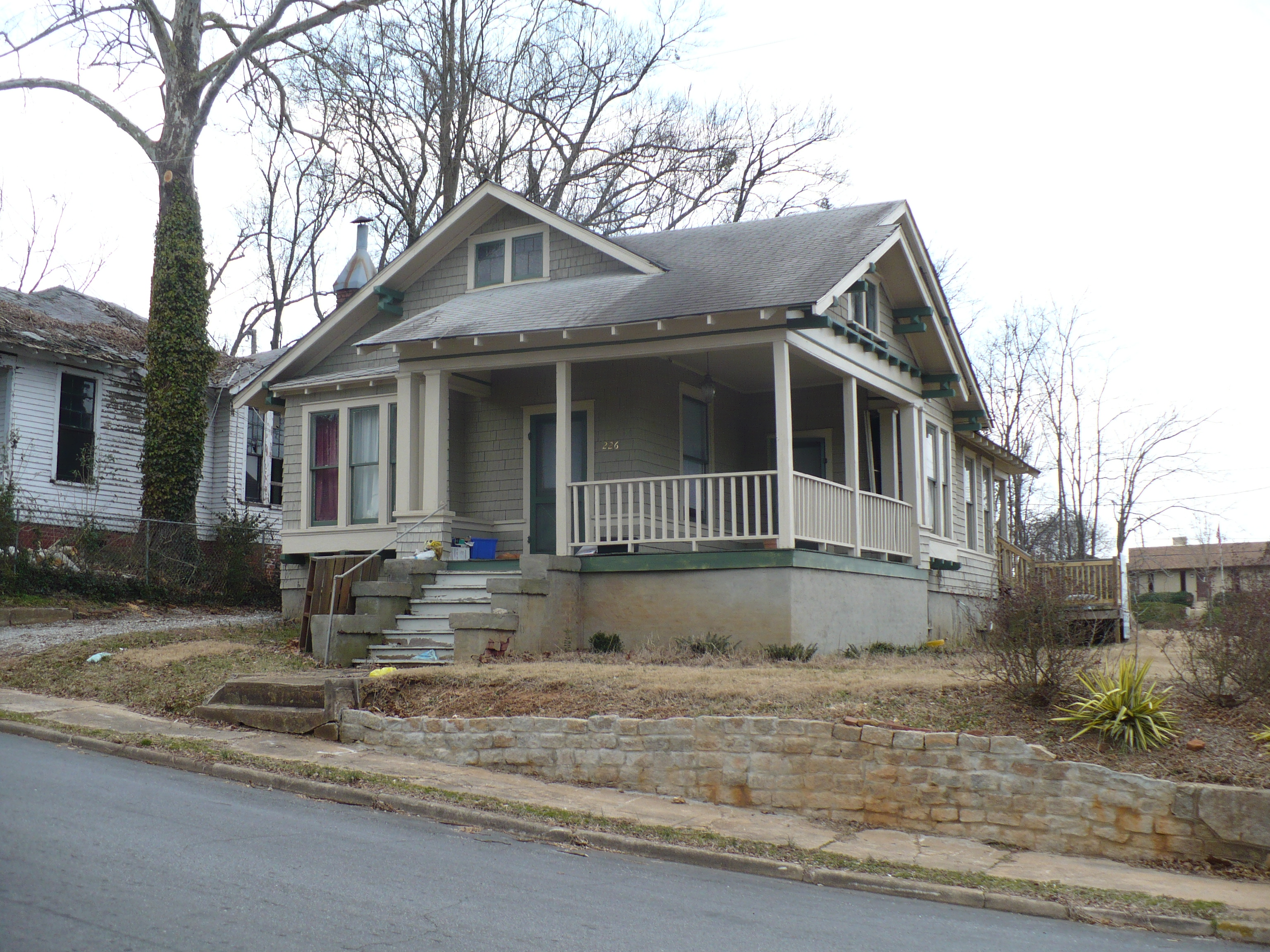
Carlisle Street in Spartanburg is an asphalted residential street and it runs in an east-west direction and crosses Hydrick Street and South Spring Street. Nearby there is a place of worship. The nearest bus stop is Heritage Court (about 300 m away). Carlisle Street also exists in Abbeville County, Florence County, Newberry County and Union County.
- Road Type
- residential street
- Speed Limit
- 25 mph
- Route
- east-west
Image
Places of worship
Streets nearby
Beta Club Way0.1 mi
Hydrick Street0.1 mi
Brookwood Terrace0.1 mi
Hampton Court0.2 mi
North Irwin Avenue0.2 mi
Oakdale Court0.2 mi
South Spring StreetLove Where You Live mural, Sophia's
0.2 mi
West Hampton Avenue0.2 mi
Deborah Drive0.2 mi
Peronneau Street0.2 mi
East Lee Street0.2 mi
West Henry StreetSouthern Convenience Stores, Macedonia Baptist Church, Milliken Club, Spartanburgers Bobble Head, Corner Stop, J & G Family Restaurant and Catering, Sellers Seafood Market, Action Printing, Spartanburg's New & Old Booth-tiques, Solitude
0.2 mi
South Church StreetChurch of God, Southside Mural, Blues Boulevard Jazz, Oak Street Health, Piggly Wiggly, China Express, Church & Milster, Church & Marion, Heritage Court, Library
0.3 mi
Hampton Drive0.3 mi
Marion AvenueAllegra Marketing Print Mail, J.C. Bull
0.3 mi
West Kennedy StreetAlliance
0.3 mi
Ernest L Collins AvenueEpiscopal Church of the Epiphany
0.3 mi
Brown Avenue0.3 mi
Milster StreetMetro by T-Mobile, Q Cuts Barber Shop
0.3 mi
South Liberty StreetShop Iiyumes, Pure Konfidence Boutique, Liberty & Bomar, Spartanburg Rotary Centennial Clock, The Hiker Hub
0.3 mi
East Kennedy StreetThe Peach, Loyal Customz & Designs, Story Time, A Arrangement Florist, Nu-Way Restaurant & Lounge, NAPA Auto Parts, Valvoline, Advent Youth Center, Spartanburg Community Fund mural
0.3 mi
Mary H Wright Greenway0.3 mi
Elford Court0.4 mi
Rigby Avenue0.4 mi
Hudson L Barksdale Boulevard0.4 mi
Dallas Place0.4 mi
East Henry StreetCity Electric Supply, Truist, Staymobile - Spartanburg, Hub City Chicken & More
0.4 mi
Apartment buildings nearby
Church Street Lofts0.2 mi
City View Apartments0.2 mi
Heritage Court Apartments0.2 mi
Auto repair shops nearby
Goodyear0.3 mi
Banks nearby
Park National Bank0.3 mi
Synovus0.3 mi
Buildings nearby
Spartanburg Development Services0.3 mi
Commercial buildings nearby
The Courtleigh0.2 mi
Convenience stores nearby
Hotspot0.4 mi
Parks nearby
Willow Oaks Park0.2 mi
Hub City Art Park0.2 mi
Mary H Wright Greenway Park0.3 mi
Places of worship nearby
Southside Baptist Church500 ft
Bethel United Methodist Church0.2 mi
Mount Moriah Baptist Church0.3 mi
Majority Baptist Church0.4 mi
Post offices nearby
United States Post Office0.2 mi
Residential areas nearby
Hampton Heights300 ft
Liberty Square Apartments0.3 mi
Restaurants nearby
Boots N Sonny's Drive in0.3 mi
Retail areas nearby
South Church Plaza0.3 mi
School buildings nearby
Montessori Academy of Spartanburg0.1 mi
Public transit map Spartanburg Legend
| Railway | |
| Bus | |
| Streetcar |
Bicycle map Spartanburg Legend
| Bike path | |
| Bike lane on roadway | |
| Cycling allowed on bus lane | |
| Bicycle street | |
| Open to cyclists | |
| Open to cyclists, good path | |
| Cycling prohibited | |
| Cobblestone |
| Long-distance bike route | (depending on scale) | |
| Long-distance bike route |
Pedestrian map Spartanburg Legend
| Path |
| Long-distance hiking trail | (depending on scale) | |
| Long-distance hiking trail | ||
| Pedestrians prohibited |