
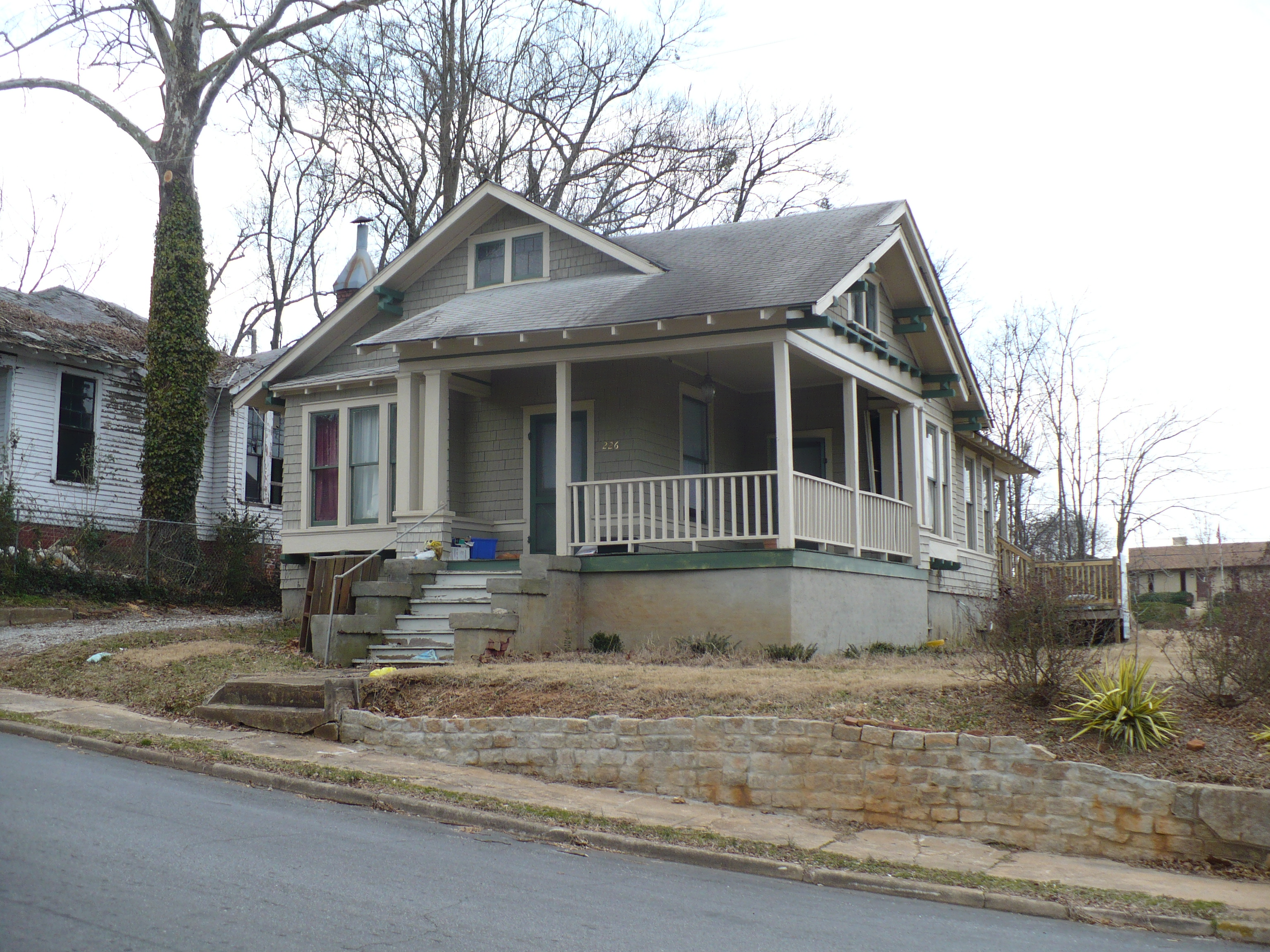
Hydrick Street in Spartanburg, South Carolina
Hydrick Street in Spartanburg is an asphalted residential street. It runs in a north-south direction starting from West Henry Street and crosses Beta Club Way and ends at Carlisle Street.
- Road Type
- residential street
- Speed Limit
- 25 mph
- Route
- north-south
Image
Places of worship
Event venues
Bus stops
Charging stations
Artworks
Copy shops
Restaurants
Clothing stores
Marketplaces
Gas stations
Streets nearby
Beta Club Way300 ft
Oakdale Court450 ft
South Spring StreetLove Where You Live mural, Sophia's
550 ft
Simms Street0.1 mi
Carlisle StreetSouthside Baptist Church
0.1 mi
Harris Place0.1 mi
Brookwood Terrace0.2 mi
West Henry StreetSouthern Convenience Stores, Macedonia Baptist Church, Milliken Club, Spartanburgers Bobble Head, Corner Stop, J & G Family Restaurant and Catering, Sellers Seafood Market, Action Printing, Spartanburg's New & Old Booth-tiques, Solitude
0.2 mi
West Kennedy StreetAlliance
0.2 mi
North Irwin Avenue0.2 mi
Hampton Court0.2 mi
South Church StreetChurch of God, Southside Mural, Blues Boulevard Jazz, Oak Street Health, Piggly Wiggly, China Express, Church & Milster, Church & Marion, Heritage Court, Library
0.2 mi
Exchange Street0.2 mi
Central Street0.2 mi
Pollard StreetSpartanburgers Bobble Head
0.3 mi
Batters' AlleySpartanburgers Team Store, Hub City
0.3 mi
West Broad StreetMagnolia Grand
0.3 mi
Peronneau Street0.3 mi
South Daniel Morgan AvenueEl Paso Tacos & Tequila, Tesla Destination Charger
0.3 mi
Groce Street0.3 mi
West Main StreetCribb's Kitchen, Textile bench, Smallcakes, Ira Tucker /Arthur Prysock, Singin' Billy Walker / Clara Smith, Main & Baltimore, We Love Spartanburg mural, Monsoon Noodle House, Delaney's Irish Pub, Smoking Butt Heads BBQ, Burg-är, The Flying Biscuit Cafe, The Spice & Tea Exchange, Agriculture bench, Cotton Leaf bench, ASL "I Love You" sculpture, Marshall Tucker Band / Pink Anderson, Level 10, Wow Wings & Hibachi
0.3 mi
Pocket ParkLittle River Coffee Bar, Carriage House Wines
0.3 mi
Warehouse Street0.4 mi
Hampton Drive0.4 mi
Saint John Street0.4 mi
Milster StreetMetro by T-Mobile, Q Cuts Barber Shop
0.4 mi
South Forest StreetTown Beauty Supply
0.4 mi
Timothy Street0.4 mi
South Hampton Drive0.4 mi
Highland AvenueLittle Zion Baptist Church, Highland Early Learning Center
0.4 mi
Apartment buildings nearby
City View Apartments0.1 mi
198 Main & Morgan0.3 mi
Auto parts stores nearby
Advance Auto Parts0.4 mi
Banks nearby
Park National Bank0.2 mi
Construction sites nearby
Government Center construction0.2 mi
Hotels nearby
AC Hotel Spartanburg0.3 mi
Parking lots nearby
Grain District Garage0.2 mi
Parks nearby
Hub City Art Park500 ft
Grain District Plaza0.2 mi
Willow Oaks Park0.3 mi
Places of worship nearby
Southside Baptist Church0.2 mi
Bethel United Methodist Church0.2 mi
Post offices nearby
United States Post Office0.1 mi
Pubs nearby
Main Street Pub0.3 mi
Railways nearby
CSX Spartanburg Sub0.3 mi
Spartanburg Subdivision0.3 mi
Residential areas nearby
Hampton Heights450 ft
School buildings nearby
Montessori Academy of Spartanburg0.2 mi
Stadiums nearby
Fifth Third Park0.2 mi
Public transit map Spartanburg Legend
| Railway | |
| Bus | |
| Streetcar |
Bicycle map Spartanburg Legend
| Bike path | |
| Bike lane on roadway | |
| Cycling allowed on bus lane | |
| Bicycle street | |
| Open to cyclists | |
| Open to cyclists, good path | |
| Cycling prohibited | |
| Cobblestone |
| Long-distance bike route | (depending on scale) | |
| Long-distance bike route |
Pedestrian map Spartanburg Legend
| Path |
| Long-distance hiking trail | (depending on scale) | |
| Long-distance hiking trail | ||
| Pedestrians prohibited |