
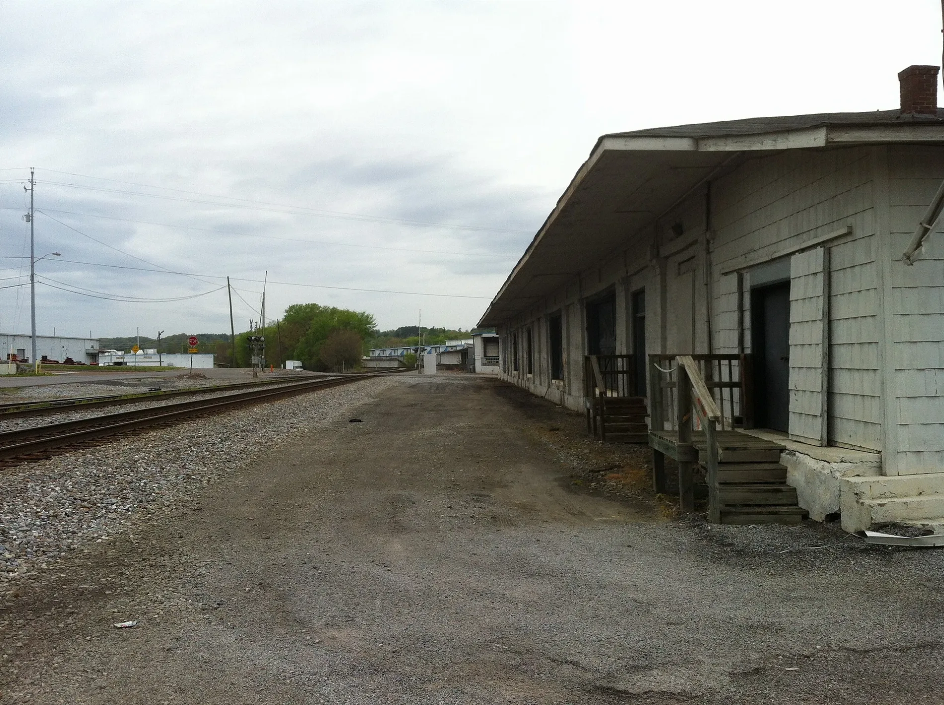
Memorial Drive in Cleveland, Tennessee
Memorial Drive in Cleveland is a residential street and runs in a southeast-northwest direction and ends at Edwards Street Southwest, while the other end is a cul-de-sac. Memorial Drive also exists in Campbell County, Sullivan County and Rhea County.
- Road Type
- residential street
- Route
- southeast-northwest
Image
Massage therapy clinics
Auto repair shops
Town halls
Dry cleaners
Animal shelters
Places of worship
Car dealerships
Bike shops
Secondhand stores
Courthouses
Hair salons
Restaurants
Bakeries
Banks
Motorcycle shops
Clothing stores
Streets nearby
Edwards Street Southwest300 ft
2nd Street Southeast300 ft
Edwards Street NortheastRoy's Quality Cleaners
450 ft
Mill Street SoutheastAppliance Credit Union
500 ft
Parker Street Northeast500 ft
3rd Street Southeast550 ft
1st Street NortheastCleveland City Hall, Trailhead Bicycle, Mash & Hops Craft Beers, Carroll Printing Co. Inc
0.1 mi
Church Street SoutheastO.K. Barber Shop, HĒL MASSAGE & WELLNESS
0.1 mi
Inman Street EastSplit N, Oasis Massage and Spa, Jacob's Tent, Spinner's Internet Café, Almart Super Market, Ruddle's Bread & Book
0.1 mi
4th Street Southeast0.2 mi
Linden Avenue Southeast0.2 mi
Inman Street WestCleveland, Pelican's Snoballs, Clark Music, Inman Street Climate Control Storage, Superior Transmission, Family Tire & Auto Service, ELXR Wine & Spirits
0.2 mi
2nd Street Northeast0.2 mi
Bates Street Northeast0.2 mi
1st Street NorthwestOasis
0.2 mi
Trunk Street Northeast0.2 mi
Central Avenue NortheastSuperior Cash Market, Allure Hair Design, Hawg Wild
0.2 mi
North Ocoee StreetRedbox
0.2 mi
2nd Street Northwest0.2 mi
Wildwood AvenueCar Smart Auto Sales
0.2 mi
Broad Street SouthwestExpress Athletics, Mexi Botanas
0.2 mi
4th Street Northeast0.2 mi
Bible Street NortheastSaint James Cumberland Presbyterian Church
0.3 mi
Montgomery Avenue Northeast0.3 mi
Church Street Northeast0.4 mi
Auto parts stores nearby
Auto Plus0.2 mi
Banks nearby
Bank of Cleveland Motorbank0.3 mi
Buildings nearby
UT Extension Institute of Agriculture500 ft
Craigmiles Mausoleum0.3 mi
The Forum0.3 mi
Cafes nearby
Five Points Cafe500 ft
Churches nearby
First Cumberland Presbyterian0.2 mi
Asbury United Methodist Church0.2 mi
Courthouses nearby
Bradley County Courthouse0.2 mi
Laundries nearby
University Laundry0.1 mi
Museums nearby
Museum Center at 5ive Points150 ft
Office buildings nearby
Cleveland Municipal Building0.2 mi
Parks nearby
First Street Square500 ft
Places of worship nearby
St. Luke's Episcopal Church0.3 mi
First Presbyterian Church0.3 mi
Police stations nearby
Cleveland City Police Department0.1 mi
Railways nearby
Knoxville District West End0.3 mi
Recreation grounds nearby
Lee University South Quad Field0.3 mi
Self storages nearby
24 Hour Self Storage0.2 mi
Tire dealers nearby
Elliott's Tire Center0.2 mi
University buildings nearby
Lee University School of Business0.2 mi
Lee University Communication Arts Building0.3 mi
Lee University School of Nursing0.3 mi
Lee University School of Religion0.4 mi
Public transit map Cleveland Legend
| Railway | |
| Bus | |
| Streetcar |
Bicycle map Cleveland Legend
| Bike path | |
| Bike lane on roadway | |
| Cycling allowed on bus lane | |
| Bicycle street | |
| Open to cyclists | |
| Open to cyclists, good path | |
| Cycling prohibited | |
| Cobblestone |
| Long-distance bike route | (depending on scale) | |
| Long-distance bike route |
Pedestrian map Cleveland Legend
| Path |
| Long-distance hiking trail | (depending on scale) | |
| Long-distance hiking trail | ||
| Pedestrians prohibited |